Main / Venice stop - Saturday schedule
| Line | Direction | Time |
|---|---|---|
| 33 | Downtown LA - Union Station | 4:47 AM |
| 33 | Downtown LA - Union Station | 5:08 AM |
| 33 | Downtown LA - Union Station | 5:38 AM |
| 33 | Downtown LA - Union Station | 5:53 AM |
| 33 | Downtown LA - Union Station | 6:10 AM |
| 33 | Downtown LA - Union Station | 6:27 AM |
| 33 | Downtown LA - Union Station | 6:43 AM |
| 33 | Downtown LA - 7th - Main | 6:58 AM |
| 1 | Venice | 7:08 AM |
| 33 | Downtown LA - Union Station | 7:13 AM |
| 33 | Downtown LA - 7th - Main | 7:27 AM |
| 1 | Venice | 7:28 AM |
| 33 | Downtown LA - Union Station | 7:42 AM |
| 1 | Venice | 7:49 AM |
| 33 | Downtown LA - 7th - Main | 7:57 AM |
| 33 | Downtown LA - Union Station | 8:07 AM |
| 1 | Venice | 8:09 AM |
| 33 | Downtown LA - 7th - Main | 8:16 AM |
| 33 | Downtown LA - Union Station | 8:25 AM |
| 1 | Venice | 8:29 AM |
| 33 | Downtown LA - 7th - Main | 8:34 AM |
| 33 | Downtown LA - Union Station | 8:44 AM |
| 1 | Venice | 8:49 AM |
| 33 | Downtown LA - 7th - Main | 8:54 AM |
| 33 | Downtown LA - Union Station | 9:04 AM |
Directions to Main / Venice stop with public transit
The following transit lines have routes that pass near Main / Venice
 Bus: 1, 33, 18.
- Subway: E LINE.
How to get to Main / Venice stop by bus?
Click on the bus route to see step by step directions with maps, line arrival times and updated time schedules.
How to get to Main / Venice stop by subway?
Click on the subway route to see step by step directions with maps, line arrival times and updated time schedules.
Bus stops near Main / Venice stop
- Main / Grand, 2 min walk,
- Windward Ave/Main St, 2 min walk,
- Main St & Market St, 3 min walk,
- California Ave & Abbot Kinney Blvd, 10 min walk,
Subway stations near Main / Venice station
- Downtown Santa Monica, 51 min walk,
Bus lines to Main / Venice stop
- 33, Santa Monica,
- 1, Venice Beach,
- 1, Venice,
- 18, Marina Del Rey,
What are the closest stations to Main / Venice?
The closest stations to Main / Venice are:
- Main / Grand is 85 yards away, 2 min walk.
- Windward Ave/Main St is 94 yards away, 2 min walk.
- Main St & Market St is 180 yards away, 3 min walk.
- California Ave & Abbot Kinney Blvd is 793 yards away, 10 min walk.
- Downtown Santa Monica is 4356 yards away, 51 min walk.
Which bus lines stop near Main / Venice?
These bus lines stop near Main / Venice: 1, 33.
Which subway line stops near Main / Venice?
E LINE (Downtown Santa Monica Station)
What’s the nearest bus station to Main / Venice?
The nearest bus stations to Main / Venice are Main / Grand and Windward Ave/Main St. The closest one is a 2 min walk away.
What time is the first subway to Main / Venice?
The E LINE is the first subway that goes to Main / Venice. It stops nearby at 4:37 AM.
What time is the last subway to Main / Venice?
The E LINE is the last subway that goes to Main / Venice. It stops nearby at 1:25 AM.
What time is the first bus to Main / Venice?
The 33 is the first bus that goes to Main / Venice. It stops nearby at 3:05 AM.
What time is the last bus to Main / Venice?
The 33 is the last bus that goes to Main / Venice. It stops nearby at 4:08 AM.
Main / Venice station
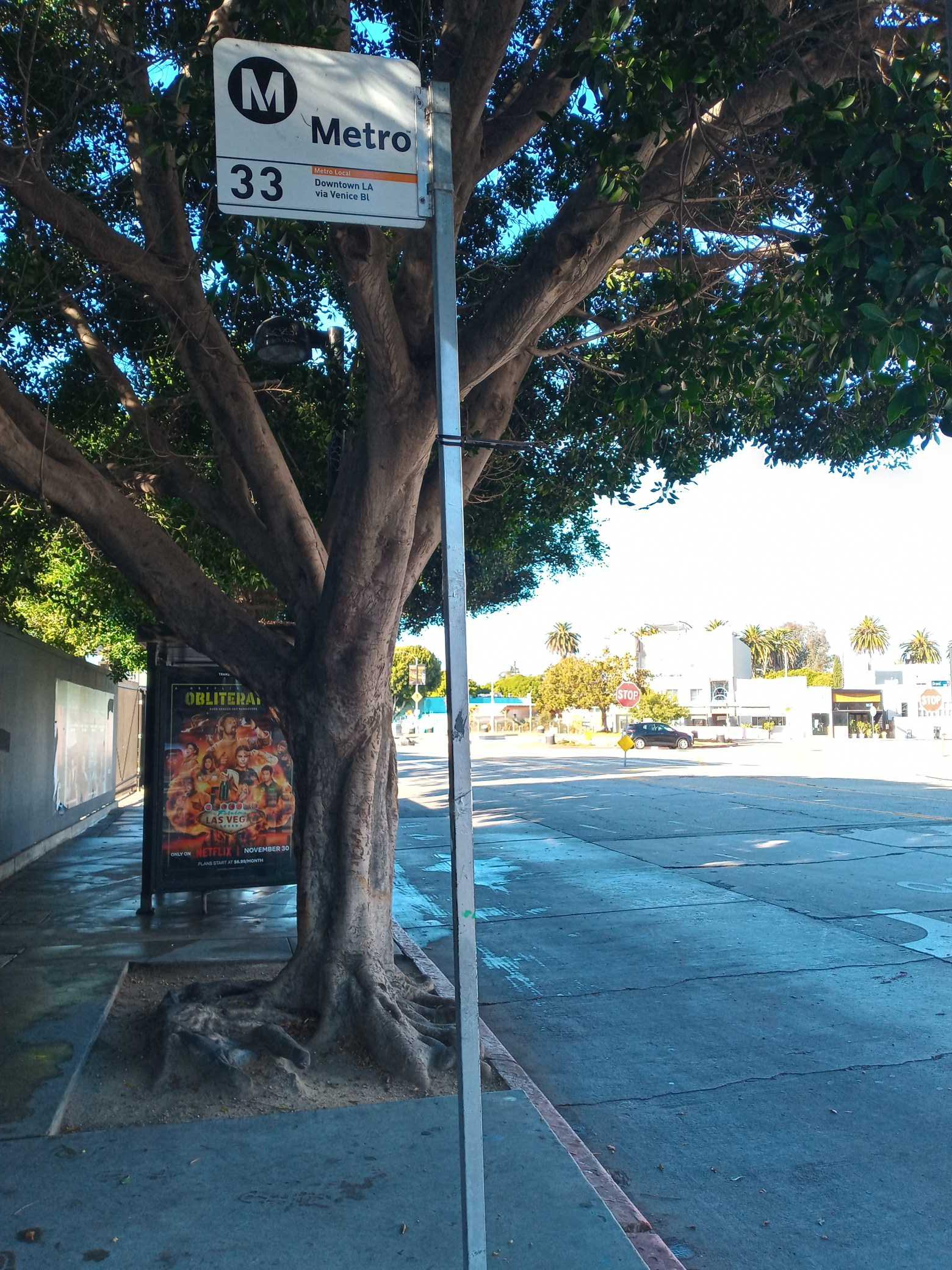 Taken by Anonymous
See Main / Venice stop on the map
Public transit to Main / Venice stop
Looking for directions to Main / Venice in Venice, United States?
Download the Moovit App to find the current schedule and step-by-step directions for Bus or Subway routes that pass through Main / Venice.
Looking for the nearest stops closest to Main / Venice ? Check out this list of closest stops to your destination: Main / Grand; Windward Ave/Main St; Main St & Market St; California Ave & Abbot Kinney Blvd; Downtown Santa Monica.
Bus: 1, 33, 18.Subway: E LINE.
We make riding on public transit to Main / Venice easy, which is why over 1.5 million users, including users in Venice trust Moovit as the best app for public transit.
Get to Main / Venice with public transit and pay for the ride in the Moovit app. In addition to all info you may need for your trip to Main / Venice, including live directions, real-time arrivals and fare prices, you can also buy public transit passes for your rides. No need for cash or paper tickets to get to Main / Venice - everything you need is accessible in the app with a click of the button.
Use the app to navigate to popular places including to the airport, hospital, stadium, grocery store, mall, coffee shop, school, college, and university.
The first line to this stop is 33, at 4:47 AM, and the last line is 33 at 3:47 AM.
Main Street, Los Angeles, CA, USA
This stop serves Big Blue Bus and Metro’s lines
- Main / Grand,
- Windward Ave/Main St,
- Main St & Market St,
- California Ave & Abbot Kinney Blvd
Bus stops near Main / Venice stop
- Downtown Santa Monica
Subway station near Main / Venice station
- Slauson Ave/Holy Cross Cemetery,
- York / Avenue 57,
- Main St & 92nd St (Northbound),
- Snow Valley Mountain Resort - Hwy 18,
- PCH & Redondo SE,
- Anaheim-Santa Ana,
- 1st / Magnolia,
- Sofi Stadium Transit Center,
- Sherman Way / Corbin,
- Universal / Studio City Station,
- Ventura County Government Center (NW Victoria Ave/Telephone Rd),
- Vernon & Avalon Blvd. (CW),
- State / Florence,
- P.C.H. & Eubank Ave.,
- Westwood / Rancho Park,
- Mountain Transit - Fox Farm Rd,
- Wilshire & LA Cienaga,
- Manchester Ave & Central Ave (Westbound),
- Sherman Way / Eton,
- Pacific Coast Hwy & Western Ave (Westbound)
Popular public transit stations in Venice
Get around Venice by public transit!
Traveling around Venice has never been so easy. See step by step directions as you travel to any attraction, street or major public transit station. View bus and train schedules, arrival times, service alerts and detailed routes on a map, so you know exactly how to get to anywhere in Venice.
When traveling to any destination around Venice use Moovit's Live Directions with Get Off Notifications to know exactly where and how far to walk, how long to wait for your line, and how many stops are left. Moovit will alert you when it's time to get off — no need to constantly re-check whether yours is the next stop.
Wondering how to use public transit in Venice or how to pay for public transit in Venice? Moovit public transit app can help you navigate your way with public transit easily, and at minimum cost. It includes public transit fees, ticket prices, and costs. Looking for a map of Venice public transit lines? Moovit public transit app shows all public transit maps in Venice with all Bus, Train, Subway, Ferry and Funicular routes and stops on an interactive map.
Los Angeles has 5 transit type(s), including: Bus, Train, Subway, Ferry and Funicular, operated by several transit agencies, including Metro, Alhambra Community Transit, Arcadia Transit, ART, Artesia Transit, AVTA, Baldwin Park Transit, Beach Cities Transit, Beaumont Transit, Bell Gardens Town Trolley, Bellflower Bus, Big Blue Bus, Burbank Bus, Calabasas Trolley and Camarillo Area Transit