How to get to Maison Chabanel by bus?
Click on the bus route to see step by step directions with maps, line arrival times and updated time schedules.
Bus lines to Maison Chabanel in Nimes
What are the closest stations to Maison Chabanel?
The closest stations to Maison Chabanel are:
- Eau Bouillie is 34 meters away, 1 min walk.
- Arenas is 1075 meters away, 14 min walk.
Which bus lines stop near Maison Chabanel?
These bus lines stop near Maison Chabanel: 61, 9.
What’s the nearest bus station to Maison Chabanel in Nimes?
The nearest bus station to Maison Chabanel in Nimes is Eau Bouillie. It’s a 1 min walk away.
What time is the first bus to Maison Chabanel in Nimes?
The 9 is the first bus that goes to Maison Chabanel in Nimes. It stops nearby at 5:53 AM.
What time is the last bus to Maison Chabanel in Nimes?
The 9 is the last bus that goes to Maison Chabanel in Nimes. It stops nearby at 9:01 PM.
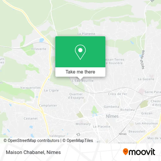
See Maison Chabanel, Nimes, on the map
Public Transit to Maison Chabanel in Nimes
Wondering how to get to Maison Chabanel in Nimes? Moovit helps you find the best way to get to Maison Chabanel with step-by-step directions from the nearest public transit station.
Moovit provides free maps and live directions to help you navigate through your city. View schedules, routes, timetables, and find out how long does it take to get to Maison Chabanel in real time.
Looking for the nearest stop or station to Maison Chabanel? Check out this list of stops closest to your destination: Eau Bouillie; Arenas.
Bus: 61, 9, 80, 71.
Want to see if there’s another route that gets you there at an earlier time? Moovit helps you find alternative routes or times. Get directions from and directions to Maison Chabanel easily from the Moovit App or Website.
We make riding to Maison Chabanel easy, which is why over 1.5 million users, including users in Nimes, trust Moovit as the best app for public transit. You don’t need to download an individual bus app or train app, Moovit is your all-in-one transit app that helps you find the best bus time or train time available.
For information on prices of bus, costs and ride fares to Maison Chabanel, please check the Moovit app.
Use the app to navigate to popular places including to the airport, hospital, stadium, grocery store, mall, coffee shop, school, college, and university.
Maison Chabanel Address: 127 Route d'Alès 30900 Nîmes street in Nimes
- Sarl du Château,
- Source De La Chapelle Sainte-Madeleine Et Sainte-Rita,
- Chemin de l'Eau Bouillie,
- Chemin du Bois des Espeisses,
- Carrière Michel,
- Route d'Alès,
- Fontès Elec,
- Chemin de la Planette,
- Le Labo,
- Ecole Primaire Eau Bouillie,
- Chemin du Quartier d'Espagne,
- Bruel Martine,
- Chemin du Mas de Balan 133,
- Bois des Espeisses,
- France Pare-Brise,
- Chemin de Tire Cul,
- Chemin de la Cigale 1294,
- Impasse Beauséjour 68D,
- Liotard Marc,
- Collège Jean Rostand
Places Near Maison Chabanel (Nimes)
- Aire De Covoiturage Nîmes Ouest,
- Polyclinique Du Grand Sud,
- École Nationale De Police,
- Clinique Franciscaine,
- Carrefour Nîmes Sud,
- VILLE ACTIVE, Nîmes,
- E.Leclerc,
- La Galerie - Cap Costières,
- Kinepolis,
- Parc Kennedy,
- CHU de Nîmes - Hôpital universitaire Carémeau,
- Le Parnasse, Nîmes,
- Centre hospitalier Caremeau,
- Geant Casino,
- Rue Gilles Roberval 285,
- Saint-Césaire,
- Rond-Point Kilomètre Delta, Nîmes,
- Hôpital Privé Les Franciscaines,
- Les 7 Collines,
- Jardins de la Fontaine
How to get to popular places in Nimes with public transit
Get around Nimes by public transit!
Traveling around Nimes has never been so easy. See step by step directions as you travel to any attraction, street or major public transit station. View bus and train schedules, arrival times, service alerts and detailed routes on a map, so you know exactly how to get to anywhere in Nimes.
When traveling to any destination around Nimes use Moovit's Live Directions with Get Off Notifications to know exactly where and how far to walk, how long to wait for your line, and how many stops are left. Moovit will alert you when it's time to get off — no need to constantly re-check whether yours is the next stop.
Wondering how to use public transit in Nimes or how to pay for public transit in Nimes? Moovit public transit app can help you navigate your way with public transit easily, and at minimum cost. It includes public transit fees, ticket prices, and costs. Looking for a map of Nimes public transit lines? Moovit public transit app shows all public transit maps in Nimes with all bus routes and stops on an interactive map.
Nimes has 1 transit type(s), including: bus, operated by several transit agencies, including TANGO