How to get to Make Communication AS avd Stavanger by bus?
Click on the bus route to see step by step directions with maps, line arrival times and updated time schedules.
From Thon Hotel Maritim, Stavanger
50 minFrom Flor & Fjære, Stavanger
56 minFrom Holdeplass Madlaleiren, Stavanger
77 minFrom Landstreffet, Sandnes
79 minFrom Kongeparken, Sandnes
82 minFrom Svilandsfossen, Sandnes
73 minFrom Kilden Kjøpesenter, Stavanger
42 minFrom Øksnevad Vgs, Klepp
57 minFrom Hundvåg, Stavanger
72 minFrom Soma kapell, Sandnes
39 min
How to get to Make Communication AS avd Stavanger by train?
Click on the train route to see step by step directions with maps, line arrival times and updated time schedules.
Bus stops near Make Communication AS avd Stavanger in Sola
Train stations near Make Communication AS avd Stavanger in Sola
Bus lines to Make Communication AS avd Stavanger in Sola
What are the closest stations to Make Communication AS avd Stavanger?
The closest stations to Make Communication AS avd Stavanger are:
- Kanalarmen is 401 meters away, 6 min walk.
- Åsenmyra is 654 meters away, 9 min walk.
- Foruskanalen is 1131 meters away, 15 min walk.
- Koppholen Vest is 1344 meters away, 18 min walk.
- Gausel Stasjon is 2124 meters away, 28 min walk.
- Jåttåvågen Stasjon is 2549 meters away, 33 min walk.
Which bus lines stop near Make Communication AS avd Stavanger?
These bus lines stop near Make Communication AS avd Stavanger: 3, 42.
Which train line stops near Make Communication AS avd Stavanger?
L5 (Egersund)
What’s the nearest train station to Make Communication AS avd Stavanger in Sola?
The nearest train station to Make Communication AS avd Stavanger in Sola is Gausel Stasjon. It’s a 28 min walk away.
What’s the nearest bus station to Make Communication AS avd Stavanger in Sola?
The nearest bus station to Make Communication AS avd Stavanger in Sola is Kanalarmen. It’s a 6 min walk away.
What time is the first train to Make Communication AS avd Stavanger in Sola?
The L5 is the first train that goes to Make Communication AS avd Stavanger in Sola. It stops nearby at 9:00 AM.
What time is the last train to Make Communication AS avd Stavanger in Sola?
The L5 is the last train that goes to Make Communication AS avd Stavanger in Sola. It stops nearby at 12:04 AM.
What time is the first bus to Make Communication AS avd Stavanger in Sola?
The 42 is the first bus that goes to Make Communication AS avd Stavanger in Sola. It stops nearby at 8:33 AM.
What time is the last bus to Make Communication AS avd Stavanger in Sola?
The 42 is the last bus that goes to Make Communication AS avd Stavanger in Sola. It stops nearby at 12:31 AM.
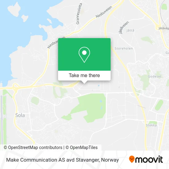
See Make Communication AS avd Stavanger, Sola, on the map
Public Transit to Make Communication AS avd Stavanger in Sola
Wondering how to get to Make Communication AS avd Stavanger in Sola? Moovit helps you find the best way to get to Make Communication AS avd Stavanger with step-by-step directions from the nearest public transit station.
Moovit provides free maps and live directions to help you navigate through your city. View schedules, routes, timetables, and find out how long does it take to get to Make Communication AS avd Stavanger in real time.
Looking for the nearest stop or station to Make Communication AS avd Stavanger? Check out this list of stops closest to your destination: Kanalarmen; Åsenmyra; Foruskanalen; Koppholen Vest; Gausel Stasjon; Jåttåvågen Stasjon.
Bus: 3, 42, X77, SK0302, 28, X76, 21.Train: L5, F5.
Want to see if there’s another route that gets you there at an earlier time? Moovit helps you find alternative routes or times. Get directions from and directions to Make Communication AS avd Stavanger easily from the Moovit App or Website.
We make riding to Make Communication AS avd Stavanger easy, which is why over 1.5 million users, including users in Sola, trust Moovit as the best app for public transit. You don’t need to download an individual bus app or train app, Moovit is your all-in-one transit app that helps you find the best bus time or train time available.
For information on prices of bus and train, costs and ride fares to Make Communication AS avd Stavanger, please check the Moovit app.
Use the app to navigate to popular places including to the airport, hospital, stadium, grocery store, mall, coffee shop, school, college, and university.
Make Communication AS avd Stavanger Address: Kanalarmen 10 4033 Sola street in Sola
- Tekniskbureau AS,
- Subsea 7 Norway Norsk Avdeling Av Utenlandsk Foretak,
- Subsea 7 Forus,
- Melums AS,
- Toma 4376 Kalos,
- Remote Health,
- Krik Sola,
- Habita AS Avd Kanalvegen 2,
- Mesterbakeren AS Avd Produksjon Stavanger,
- Forus - Kantine,
- Jernia,
- Altus Intervention (technologies),
- Siemens Energy,
- Wood Group Norway AS avd Sola,
- Forus P-Hus,
- Mps Bilskade,
- Aimo Park,
- Stojanovic,
- Rent-A-Wreck,
- Kople
Places Near Make Communication AS avd Stavanger (Sola)
- Ikea Leangen, Trondheim,
- Bjerke Travbane, Oslo,
- Ulriken, Bergen,
- Nylandsbrua, Oslo,
- Drammen Sykehus, Drammen,
- Rikshospitalet (trikk), Oslo,
- Quality Hotel Edvard Grieg, Bergen,
- Tyholttårnet, Trondheim,
- Oslo S spor 19 (Trelastgata), Oslo,
- DFDS Seaways, Oslo,
- Haukeland Universitetssjukehus, Bergen,
- Radiumhospitalet, Oslo,
- Voldsløkka, Oslo,
- Lovisenberg Diakonale Sykehus, Oslo,
- Jekta Storsenter, Tromsø,
- IKEA, Bergen,
- Vestby Outlet Store, Vestby,
- IKEA, Oslo,
- Ullevål Stadion (T), Oslo,
- Color Line Terminal, Oslo
How to get to popular places in Norway with public transit
Get around Sola by public transit!
Traveling around Sola has never been so easy. See step by step directions as you travel to any attraction, street or major public transit station. View bus and train schedules, arrival times, service alerts and detailed routes on a map, so you know exactly how to get to anywhere in Sola.
When traveling to any destination around Sola use Moovit's Live Directions with Get Off Notifications to know exactly where and how far to walk, how long to wait for your line, and how many stops are left. Moovit will alert you when it's time to get off — no need to constantly re-check whether yours is the next stop.
Wondering how to use public transit in Sola or how to pay for public transit in Sola? Moovit public transit app can help you navigate your way with public transit easily, and at minimum cost. It includes public transit fees, ticket prices, and costs. Looking for a map of Sola public transit lines? Moovit public transit app shows all public transit maps in Sola with all Bus, Train, Subway, Light Rail, Ferry and Cable Car routes and stops on an interactive map.
Norway has 6 transit type(s), including: Bus, Train, Subway, Light Rail, Ferry and Cable Car, operated by several transit agencies, including Ruter, Skyss, AtB, Flytoget, Vy Tåg, SJ, Go-Ahead Norge AS, SJ Nord, Vestfold Kollektivtrafikk as, Snelandia, Innlandstrafikk, FRAM, FlixBus, Kolumbus and Brakar