How to get to Malu Confeccoes by bus?
Click on the bus route to see step by step directions with maps, line arrival times and updated time schedules.
From Santa Cruz Da Serra, Duque De Caxias
66 minFrom Taquara, Duque De Caxias
90 minFrom Hospital Estadual Adão Pereira Nunes, Duque De Caxias
65 minFrom SESC Nogueira, Petrópolis
98 minFrom Outlet Premium Rio de Janeiro, Duque De Caxias
68 minFrom Xerém, Duque De Caxias
83 minFrom Monte do Azeite, Duque De Caxias
72 minFrom Outlet Premium Caxias, Duque De Caxias
65 minFrom Chácaras Rio-Petrópolis, Duque De Caxias
58 minFrom Jardim Anhangá, Duque De Caxias
64 min
Bus stops near Malu Confeccoes in Petrópolis
Bus lines to Malu Confeccoes in Petrópolis
What are the closest stations to Malu Confeccoes?
The closest stations to Malu Confeccoes are:
- Rua Emílio Zaluar, 402-444 is 171 meters away, 3 min walk.
- Estrada Da Independência, 381-397 is 591 meters away, 8 min walk.
Which bus lines stop near Malu Confeccoes?
These bus lines stop near Malu Confeccoes: 154N, 178, 650, 662.
What’s the nearest bus station to Malu Confeccoes in Petrópolis?
The nearest bus station to Malu Confeccoes in Petrópolis is Rua Emílio Zaluar, 402-444. It’s a 3 min walk away.
What time is the first bus to Malu Confeccoes in Petrópolis?
The 177 is the first bus that goes to Malu Confeccoes in Petrópolis. It stops nearby at 3:07 AM.
What time is the last bus to Malu Confeccoes in Petrópolis?
The 177 is the last bus that goes to Malu Confeccoes in Petrópolis. It stops nearby at 3:08 AM.
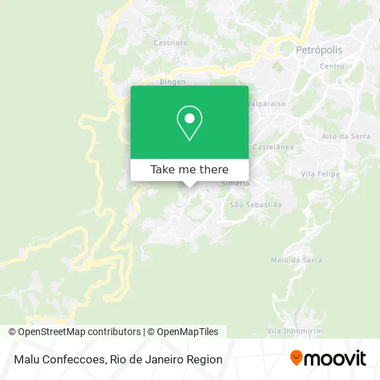
See Malu Confeccoes, Petrópolis, on the map
Public Transit to Malu Confeccoes in Petrópolis
Wondering how to get to Malu Confeccoes in Petrópolis? Moovit helps you find the best way to get to Malu Confeccoes with step-by-step directions from the nearest public transit station.
Moovit provides free maps and live directions to help you navigate through your city. View schedules, routes, timetables, and find out how long does it take to get to Malu Confeccoes in real time.
Looking for the nearest stop or station to Malu Confeccoes? Check out this list of stops closest to your destination: Rua Emílio Zaluar; Estrada Da Independência.
Bus: 154N, 178, 650, 662, 179, 172, 174, 175, 176, 177.
Want to see if there’s another route that gets you there at an earlier time? Moovit helps you find alternative routes or times. Get directions from and directions to Malu Confeccoes easily from the Moovit App or Website.
We make riding to Malu Confeccoes easy, which is why over 1.5 million users, including users in Petrópolis, trust Moovit as the best app for public transit. You don’t need to download an individual bus app or train app, Moovit is your all-in-one transit app that helps you find the best bus time or train time available.
For information on prices of bus, costs and ride fares to Malu Confeccoes, please check the Moovit app.
Use the app to navigate to popular places including to the airport, hospital, stadium, grocery store, mall, coffee shop, school, college, and university.
Malu Confeccoes Address: Rua Emílio Zaluar, 235 Petrópolis Petrópolis-RJ 25645-280 street in Petrópolis
- Unnamed,
- Banker Serviços Em Tecnologia da Informacao,
- Movelaria Projetada e Planejada,
- Alpitec,
- Loja Rosacruz Petropolis Amorc,
- Centro De Educação Infantil Professora Dora Killer,
- Rua Emílio Zaluar, 87,
- Guimaraes & Fernandes Administração de Bens,
- Sonho de Delicias,
- Petro Med Medicina Geral e Urología,
- Condomínio Residencial Vale do Taquara,
- Carneiro Administração de Bens,
- Rf Modas Ltda,
- Guardiões Falcao da Serra,
- Pjesus Devops Labs,
- Eemjx Confecção,
- Gabriel Juliace Planejamentos,
- Co-Labora,
- Maria Domenica Serpa Blundi,
- Condomínio Edificio Sol
Places Near Malu Confeccoes (Petrópolis)
- Rua Licínio Cardoso, São Francisco Xavier,
- Hospital Municipal Ronaldo Gazolla, Acari,
- Praia do Arpoador, Ipanema,
- Museu Do Amanhã, Centro,
- Hospital Federal Cardoso Fontes, Jacarepaguá,
- Niterói, Niterói,
- Rua Ulysses Guimarães 16, Cidade Nova,
- Norte Shopping, Cachambi,
- Avenida Rio Branco, Centro,
- Hospital Pedro Ernesto, Vila Isabel,
- Shopping Downtown, Barra Da Tijuca,
- Rodoviária Novo Rio (Rodoviária do Rio de Janeiro), Santo Cristo,
- Avenida Venezuela 134, Saúde,
- Rio De Janeiro,
- Shopping RioSul, Botafogo,
- Feirão De Malhas, Duque De Caxias,
- Hospital Federal Do Andaraí, Andaraí,
- Feira Livre da Gloria, Glória,
- Shopping Nova América, Del Castilho,
- Shopping Rio Sul, Botafogo
How to get to popular places in Rio de Janeiro Region with public transit
Get around Petrópolis by public transit!
Traveling around Petrópolis has never been so easy. See step by step directions as you travel to any attraction, street or major public transit station. View bus and train schedules, arrival times, service alerts and detailed routes on a map, so you know exactly how to get to anywhere in Petrópolis.
When traveling to any destination around Petrópolis use Moovit's Live Directions with Get Off Notifications to know exactly where and how far to walk, how long to wait for your line, and how many stops are left. Moovit will alert you when it's time to get off — no need to constantly re-check whether yours is the next stop.
Wondering how to use public transit in Petrópolis or how to pay for public transit in Petrópolis? Moovit public transit app can help you navigate your way with public transit easily, and at minimum cost. It includes public transit fees, ticket prices, and costs. Looking for a map of Petrópolis public transit lines? Moovit public transit app shows all public transit maps in Petrópolis with all Bus, Train, Metro, Light Rail, Ferry, Cable Car, Gondola and Funicular routes and stops on an interactive map.
Rio de Janeiro Region has 8 transit type(s), including: Bus, Train, Metro, Light Rail, Ferry, Cable Car, Gondola and Funicular, operated by several transit agencies, including TrensRJ, Metrô Rio, VLT Carioca, Barcas Rio, BRT MOBI-Rio, Auto Viação Alpha, Auto Viação Tijuca, Gire Transportes, Transurb, Viação Nossa Senhora das Graças, Consórcio INTERSUL, Braso Lisboa (Municipal), Caprichosa Auto Ônibus, Auto Viação Três Amigos and Rodoviária Âncora Matias