How to get to Manchester Chiropractic Center by bus?
Click on the bus route to see step by step directions with maps, line arrival times and updated time schedules.
Bus stops near Manchester Chiropractic Center
Bus lines to Manchester Chiropractic Center
What are the closest stations to Manchester Chiropractic Center?
The closest stations to Manchester Chiropractic Center are:
- Main St @ Bissell St is 46 yards away, 1 min walk.
- Myrtle St @ Main St is 175 yards away, 3 min walk.
- Main St @ Center Memorial Park is 287 yards away, 4 min walk.
Which bus line stops near Manchester Chiropractic Center?
83 (83b - Silver La-Manchester Business Park Via Mckee St)
What’s the nearest bus station to Manchester Chiropractic Center?
The nearest bus station to Manchester Chiropractic Center is Main St @ Bissell St. It’s a 1 min walk away.
What time is the first bus to Manchester Chiropractic Center?
The 88 is the first bus that goes to Manchester Chiropractic Center. It stops nearby at 4:25 AM.
What time is the last bus to Manchester Chiropractic Center?
The 88 is the last bus that goes to Manchester Chiropractic Center. It stops nearby at 1:12 AM.
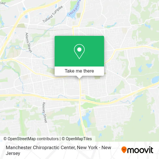
See Manchester Chiropractic Center on the map
Public Transportation to Manchester Chiropractic Center
Wondering how to get to Manchester Chiropractic Center? Moovit helps you find the best way to get to Manchester Chiropractic Center with step-by-step directions from the nearest public transit station.
Moovit provides free maps and live directions to help you navigate through your city. View schedules, routes, timetables, and find out how long does it take to get to Manchester Chiropractic Center in real time.
Looking for the nearest stop or station to Manchester Chiropractic Center? Check out this list of stops closest to your destination: Main St @ Bissell St; Myrtle St @ Main St; Main St @ Center Memorial Park.
Bus: 83, 88, PPB, 918.
Want to see if there’s another route that gets you there at an earlier time? Moovit helps you find alternative routes or times. Get directions from and directions to Manchester Chiropractic Center easily from the Moovit App or Website.
We make riding to Manchester Chiropractic Center easy, which is why over 1.5 million users, including users in Manchester, trust Moovit as the best app for public transit. You don’t need to download an individual bus app or train app, Moovit is your all-in-one transit app that helps you find the best bus time or train time available.
For information on prices of bus and train, costs and ride fares to Manchester Chiropractic Center, please check the Moovit app.
Use the app to navigate to popular places including to the airport, hospital, stadium, grocery store, mall, coffee shop, school, college, and university.
Manchester Chiropractic Center Address: 133 Main St street in Manchester
- Arsome Technology,
- Crusin on Main St,
- Natural Selection Vintage,
- Darby Michael M Attorney,
- Bible Base Ministries,
- Goin Forward - Community & Recreation Center,
- Main St Gulf,
- Evelyn's Place,
- China Garden,
- Teen Velocity,
- Umi Nail&Spa,
- Sunshine Gems Jewels & More,
- Ronak Restaurant,
- Legal Photo Service of Manchester,
- Tia the Hair Queen,
- Antonio's Pizza Restaurant Of Manchester,
- Happy Nails and Spa,
- Mildred’S Barbershop Lounge and Salon,
- Hair by Emilie & Co,
- Body Restoration Therapeutic Massage
Places Near Manchester Chiropractic Center
- 376 Hudson Street, Manhattan,
- Queens Center Mall, Queens,
- 66 John Street, Manhattan,
- Pier 83, Manhattan,
- qqqq, Manhattan,
- 911 Memorial, Manhattan,
- Mountainside Hospital, Glen Ridge,
- 1 Police Plaza, Manhattan,
- 111 Centre New York City Supreme Court, Manhattan,
- Chinatown, Manhattan,
- San Gennaro Feast, Manhattan,
- Times Square, Manhattan,
- Bellevue Hospital, Manhattan,
- SoHo, Manhattan,
- Rockefeller Center, Manhattan,
- Katz's Deli, Manhattan,
- 26 Federal Plaza, Manhattan,
- Wall Street, Manhattan,
- Hudson Yards, Manhattan,
- 3 Stone St, Manhattan
How to get to popular places in New York - New Jersey with public transit
Get around Manchester by public transit!
Traveling around Manchester has never been so easy. See step by step directions as you travel to any attraction, street or major public transit station. View bus and train schedules, arrival times, service alerts and detailed routes on a map, so you know exactly how to get to anywhere in Manchester.
When traveling to any destination around Manchester use Moovit's Live Directions with Get Off Notifications to know exactly where and how far to walk, how long to wait for your line, and how many stops are left. Moovit will alert you when it's time to get off — no need to constantly re-check whether yours is the next stop.
Wondering how to use public transit in Manchester or how to pay for public transit in Manchester? Moovit public transit app can help you navigate your way with public transit easily, and at minimum cost. It includes public transit fees, ticket prices, and costs. Looking for a map of Manchester public transit lines? Moovit public transit app shows all public transit maps in Manchester with all Bus, Train, Subway, Light Rail, Ferry and Cable Car routes and stops on an interactive map.
New York - New Jersey has 6 transit type(s), including: Bus, Train, Subway, Light Rail, Ferry and Cable Car, operated by several transit agencies, including MTA Subway, Metro-North Railroad, LIRR, PATH, MTA New York City Transit - Express routes, MTA Bus, NJ Transit, NYC Ferry, NICE bus, Bee-Line Bus, NJ Transit Rail, Norwalk Transit District, Hartford Line, River Valley Transit and HART