Maple / 36th stop - Wednesday schedule
| Line | Direction | Time |
|---|---|---|
| 10/48 | Avalon Station | 5:35 AM |
| 10/48 | Avalon Station | 6:00 AM |
| 10/48 | Avalon Station | 6:24 AM |
| 10/48 | Avalon Station | 7:09 AM |
| 10/48 | San Pedro - Manchester | 7:30 AM |
| 10/48 | Avalon Station | 7:49 AM |
| 10/48 | Avalon Station | 8:13 AM |
| 10/48 | Avalon Station | 8:39 AM |
| 10/48 | Avalon Station | 9:09 AM |
| 10/48 | Avalon Station | 9:39 AM |
| 10/48 | Avalon Station | 10:10 AM |
| 10/48 | Avalon Station | 10:40 AM |
| 10/48 | Avalon Station | 11:10 AM |
| 10/48 | Avalon Station | 11:42 AM |
| 10/48 | Avalon Station | 12:12 PM |
| 10/48 | Avalon Station | 12:42 PM |
| 10/48 | Avalon Station | 1:12 PM |
| 10/48 | Avalon Station | 1:42 PM |
| 10/48 | Avalon Station | 2:10 PM |
| 10/48 | Avalon Station | 2:39 PM |
| 10/48 | Avalon Station | 3:11 PM |
| 10/48 | Avalon Station | 3:42 PM |
| 10/48 | Avalon Station | 4:12 PM |
| 10/48 | Avalon Station | 4:41 PM |
| 10/48 | Avalon Station | 5:09 PM |
Directions to Maple / 36th stop (Historic South-Central) with public transit
The following transit lines have routes that pass near Maple / 36th
 Bus: 10/48, 40, 102, 45, DASH.
- Subway: E LINE, A LINE.
How to get to Maple / 36th stop by bus?
Click on the bus route to see step by step directions with maps, line arrival times and updated time schedules.
How to get to Maple / 36th stop by subway?
Click on the subway route to see step by step directions with maps, line arrival times and updated time schedules.
Bus stops near Maple / 36th stop in Historic South-Central
- Maple / 36th, 1 min walk,
- Jefferson / Maple, 4 min walk,
- Broadway / 36th, 7 min walk,
- MLK & Trinity St., 8 min walk,
Subway stations near Maple / 36th station in Historic South-Central
- Jefferson / USC Station, 15 min walk,
- San Pedro Street Station, 21 min walk,
Bus lines to Maple / 36th stop in Historic South-Central
- 10/48, Avalon Station,
- 102, LAX / Metro Transit Center,
- 40, LAX / Metro Transit Center,
- 45, Lincoln Heights,
- DASH, Counterclockwise,
What are the closest stations to Maple / 36th?
The closest stations to Maple / 36th are:
- Maple / 36th stop is 39 yards away, 1 min walk.
- Jefferson / Maple stop is 302 yards away, 4 min walk.
- Broadway / 36th stop is 554 yards away, 7 min walk.
- MLK & Trinity St. stop is 656 yards away, 8 min walk.
- Jefferson / USC Station is 1301 yards away, 15 min walk.
- San Pedro Street Station is 1824 yards away, 21 min walk.
Which bus lines stop near Maple / 36th?
These bus lines stop near Maple / 36th: 10/48, 40.
Which subway line stops near Maple / 36th?
E LINE (Westbound to Santa Monica)
What’s the nearest subway station to Maple / 36th in Historic South-Central?
The nearest subway station to Maple / 36th in Historic South-Central is Jefferson / USC Station. It’s a 15 min walk away.
What’s the nearest bus station to Maple / 36th in Historic South-Central?
The nearest bus station to Maple / 36th in Historic South-Central is Maple / 36th. It’s a 1 min walk away.
What time is the first subway to Maple / 36th in Historic South-Central?
The E LINE is the first subway that goes to Maple / 36th in Historic South-Central. It stops nearby at 4:05 AM.
What time is the last subway to Maple / 36th in Historic South-Central?
The A LINE is the last subway that goes to Maple / 36th in Historic South-Central. It stops nearby at 12:53 AM.
What time is the first bus to Maple / 36th in Historic South-Central?
The 45 is the first bus that goes to Maple / 36th in Historic South-Central. It stops nearby at 3:25 AM.
What time is the last bus to Maple / 36th in Historic South-Central?
The 45 is the last bus that goes to Maple / 36th in Historic South-Central. It stops nearby at 3:25 AM.
Maple / 36th station
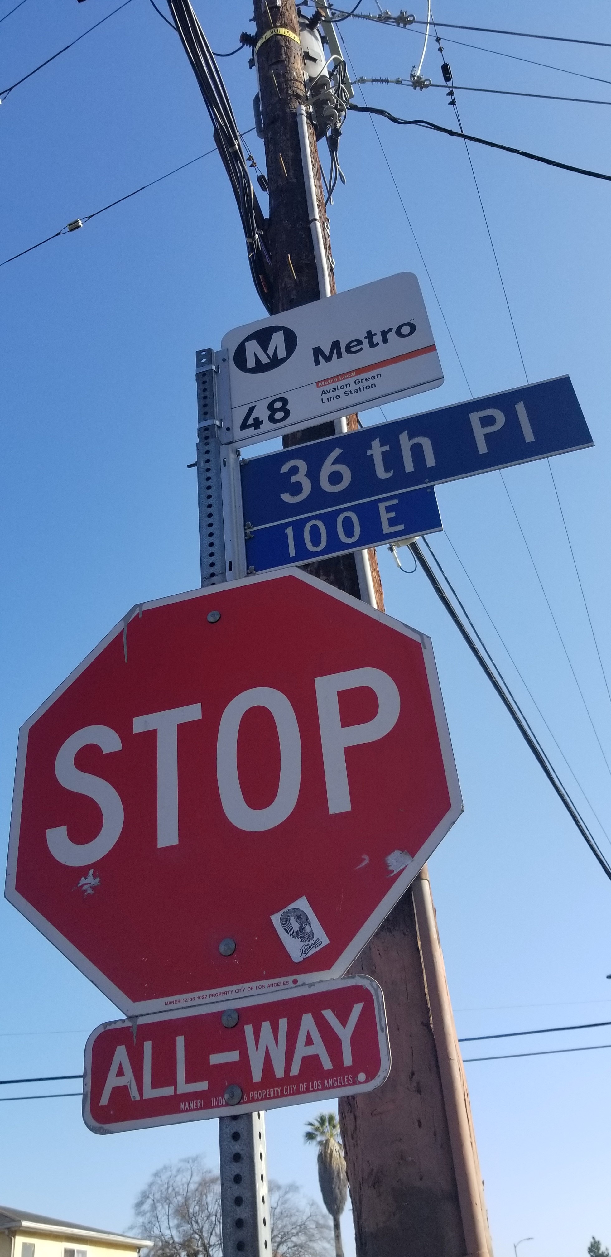 Taken by Maria A.
See Maple / 36th stop, Historic South-Central, on the map
Public transit to Maple / 36th stop (ID: 3150) in Historic South-Central
Looking for directions to Maple / 36th in Historic South-Central, United States?
Download the Moovit App to find the current schedule and step-by-step directions for Bus or Subway routes that pass through Maple / 36th.
Looking for the nearest stops closest to Maple / 36th ? Check out this list of closest stops to your destination: Maple / 36th; Jefferson / Maple; Broadway / 36th; MLK & Trinity St.; Jefferson / USC Station; San Pedro Street Station.
Bus: 10/48, 40, 102, 45, DASH.Subway: E LINE, A LINE.
We make riding on public transit to Maple / 36th easy, which is why over 1.7 billion users, including users in Historic South-Central trust Moovit as the best app for public transit.
Use the app to navigate to popular places including to the airport, hospital, stadium, grocery store, mall, coffee shop, school, college, and university.
Maple / 36th stop’s code is 3150
The first line to this stop is 10/48, at 5:35 AM, and the last line is 10/48 at 11:25 PM.
3625 S Maple Ave, Los Angeles, CA, USA
This stop serves Metro’s lines
- Maple / 36th,
- Jefferson / Maple,
- Broadway / 36th,
- MLK & Trinity St.
Bus stops near Maple / 36th stop
- Jefferson / USC Station,
- San Pedro Street Station
Subway stations near Maple / 36th station
- Valley View Ave & Imperial Hwy,
- Devonshire & Balboa,
- Ventura / Topanga Canyon,
- Pico Blvd/Westwood Blvd,
- 190th St at Normandie Av,
- York / Avenue 57,
- Glenoaks / Roscoe South Jog,
- Carson St at Vermont Av,
- Imperial / Atlantic,
- Soto / Olympic,
- 9th / Maple,
- Long Beach Blvd. at Anaheim St.,
- Goodrich Blvd & Whittier Blvd,
- Arlington / 48th,
- Willowbrook - Rosa Parks Station,
- Cherry & Willow SW,
- 103rd Street / Watts Towers Station,
- 54th & Van Ness Ave.,
- San Fernando at Colorado,
- Carson & Bellflower SE
Popular public transit stations in Historic South-Central
Get around Historic South-Central by public transit!
Traveling around Historic South-Central has never been so easy. See step by step directions as you travel to any attraction, street or major public transit station. View bus and train schedules, arrival times, service alerts and detailed routes on a map, so you know exactly how to get to anywhere in Historic South-Central.
When traveling to any destination around Historic South-Central use Moovit's Live Directions with Get Off Notifications to know exactly where and how far to walk, how long to wait for your line, and how many stops are left. Moovit will alert you when it's time to get off — no need to constantly re-check whether yours is the next stop.
Wondering how to use public transit in Historic South-Central or how to pay for public transit in Historic South-Central? Moovit public transit app can help you navigate your way with public transit easily, and at minimum cost. It includes public transit fees, ticket prices, and costs. Looking for a map of Historic South-Central public transit lines? Moovit public transit app shows all public transit maps in Historic South-Central with all Bus, Train, Subway, Ferry and Funicular routes and stops on an interactive map.
Los Angeles has 5 transit type(s), including: Bus, Train, Subway, Ferry and Funicular, operated by several transit agencies, including Metro, Metro Event Service, Alhambra Community Transit (ACT), Arcadia Transit, Artesia Transit, AVTA, Baldwin Park Transit, Beach Cities Transit, Beaumont Transit, Bell Gardens Town Trolley, Bellflower Bus, Big Blue Bus, Burbank Bus, Calabasas Trolley and Camarillo Area Transit