Directions to Marathon Key with public transportation
The following transit lines have routes that pass near Marathon Key
 Bus: LKS.
How to get to Marathon Key by bus?
Click on the bus route to see step by step directions with maps, line arrival times and updated time schedules.
From Key West Butterfly & Nature Conservatory
99 minFrom Fairfield Inn & Suites by Marriott Key West at the Keys Collection
94 minFrom Naval Air Station Key West Trumbo Point Annex
123 minFrom The Hemingway Home and Museum (Hemingway House)
96 minFrom Bluewater Key RV Resort
88 minFrom Publix
89 minFrom Southernmost Point Buoy
101 minFrom Hyatt Residence Club-Key West Windward Pointe
97 minFrom Smathers Beach
89 min
Bus stop near Marathon Key
- Marathon - Coast Guard Station, 1 min walk,VIEW
Bus lines to Marathon Key
- LKS, Holiday Inn,VIEW
What are the closest stations to Marathon Key?
The closest stations to Marathon Key are:
- Marathon - Coast Guard Station is 35 yards away, 1 min walk.
Which bus line stops near Marathon Key?
LKS (Marathon)
What’s the nearest bus station to Marathon Key?
The nearest bus station to Marathon Key is Marathon - Coast Guard Station. It’s a 1 min walk away.
What time is the first bus to Marathon Key?
The LKS is the first bus that goes to Marathon Key. It stops nearby at 5:45 AM.
What time is the last bus to Marathon Key?
The LKS is the last bus that goes to Marathon Key. It stops nearby at 9:19 PM.
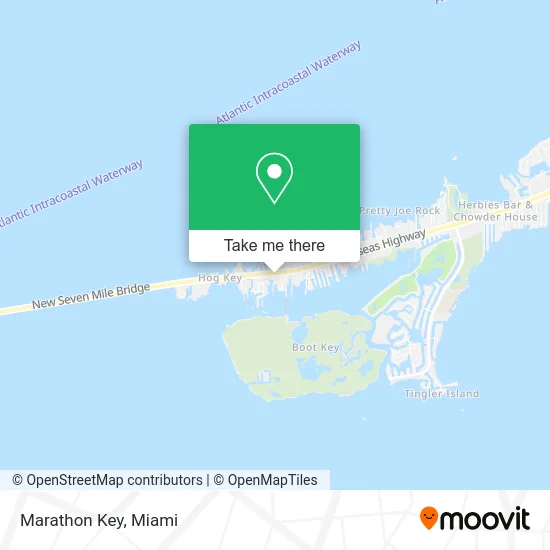
See Marathon Key on the map
Public Transportation to Marathon Key
Wondering how to get to Marathon Key? Moovit helps you find the best way to get to Marathon Key with step-by-step directions from the nearest public transit station.
Moovit provides free maps and live directions to help you navigate through your city. View schedules, routes, timetables, and find out how long does it take to get to Marathon Key in real time.
Looking for the nearest stop or station to Marathon Key? Check out this list of stops closest to your destination: Marathon - Coast Guard Station.
Bus: LKS.
Want to see if there’s another route that gets you there at an earlier time? Moovit helps you find alternative routes or times. Get directions from and directions to Marathon Key easily from the Moovit App or Website.
We make riding to Marathon Key easy, which is why over 1.5 million users, including users in Marathon, trust Moovit as the best app for public transit. You don’t need to download an individual bus app or train app, Moovit is your all-in-one transit app that helps you find the best bus time or train time available.
For information on prices of bus, costs and ride fares to Marathon Key, please check the Moovit app.
Use the app to navigate to popular places including to the airport, hospital, stadium, grocery store, mall, coffee shop, school, college, and university.
Marathon Key Address: 1757 Overseas Hwy Marathon, FL 33050 street in Marathon
- Florida Bay Outfitters,
- Seven Mile Fly Shop,
- Paradise Tails Inc.,
- Top Notch Sport Fishing,
- Bluegreen Owners Services,
- Two Conchs Charters,
- Faro Blanco Resort & Yacht Club,
- Faro Blanco Lighthouse Marathon Florida,
- Two Beagles Watersports,
- Never E Nuff Charters,
- Finnz Up Sport Fishing Charters,
- Sundance Sportfishing,
- Faro Blanco Resort,
- Ministerio Unidos en Amor,
- Keys Maritime Bait and Seafood Market,
- Oasis Seafood International,
- 15th Street Marina at Boot Key Harbor,
- Big Kahuna Water Sports,
- Francesco Sweets,
- Pigeon Key
Places Near Marathon Key
- Port of Miami Cruise Terminal, Miami,
- Little Havana, Miami,
- Dolphin Mall Bus, Miami,
- Miami VA Hospital, Miami,
- Miami Freedom Park, Miami,
- Marlins Park, Miami,
- Richard E. Gerstein Justice Building, Miami,
- Hard Rock Stadium, Miami Gardens,
- Miami Design District, Miami,
- Bayside Marketplace, Miami,
- Dolphin Mall, Miami,
- Miami-Dade County Courthouse, Miami,
- Aventura Mall, Miami,
- Wynwood, Miami,
- Keiser University Flagship Campus, West Palm Beach,
- Zoo Miami, Miami,
- Brickell City Centre, Miami,
- Sawgrass mall ( FL ), Miami Beach,
- Aventura Mall, Miami Beach,
- Sawgrass Mall, Miami
How to get to popular places in Miami with public transit
Get around Marathon by public transit!
Traveling around Marathon has never been so easy. See step by step directions as you travel to any attraction, street or major public transit station. View bus and train schedules, arrival times, service alerts and detailed routes on a map, so you know exactly how to get to anywhere in Marathon.
When traveling to any destination around Marathon use Moovit's Live Directions with Get Off Notifications to know exactly where and how far to walk, how long to wait for your line, and how many stops are left. Moovit will alert you when it's time to get off — no need to constantly re-check whether yours is the next stop.
Wondering how to use public transit in Marathon or how to pay for public transit in Marathon? Moovit public transit app can help you navigate your way with public transit easily, and at minimum cost. It includes public transit fees, ticket prices, and costs. Looking for a map of Marathon public transit lines? Moovit public transit app shows all public transit maps in Marathon with all Bus, Train, Light Rail and Ferry routes and stops on an interactive map.
Miami has 4 transit type(s), including: Bus, Train, Light Rail and Ferry, operated by several transit agencies, including Broward County Transit, Miami-Dade Transit, Metrorail, Palm Tran, Tri-Rail, Brightline, MARTY, City of Homestead Trolley, Key West Transit, Treasure Coast Connector, GoLine IRT, Amtrak, Greyhound-us, FlixBus-us and Aventura Express Shuttle Bus