How to get to Marine Point by bus?
Click on the bus route to see step by step directions with maps, line arrival times and updated time schedules.
From Florida Lottery, Miami
99 minFrom Clarion Inn & Suites Miami Airport, Miami
73 minFrom Miami Lakes Educational Center, Hialeah
81 minFrom Trump National Doral Miami, North Westside
124 minFrom NW 183rd St / NW 47th Ave, Miami Gardens
67 minFrom Casino Miami, Miami
70 minFrom Sam's Club, North Westside
97 minFrom Amazon Fulfillment Center - MIA1, Miami
103 minFrom 79th street and nw 17th ave., Miami
75 minFrom Terminal Aeropuerto Internacional del Miami, Miami
99 min
Bus stops near Marine Point in Hialeah
Bus lines to Marine Point in Hialeah
What are the closest stations to Marine Point?
The closest stations to Marine Point are:
- W 60th St @ W 19th Ave is 42 yards away, 1 min walk.
- W 60 St @ W 18 Av is 255 yards away, 4 min walk.
Which bus lines stop near Marine Point?
These bus lines stop near Marine Point: 183, 54, HIAFLA, HIAMAR.
What’s the nearest bus station to Marine Point in Hialeah?
The nearest bus station to Marine Point in Hialeah is W 60th St @ W 19th Ave. It’s a 1 min walk away.
What time is the first bus to Marine Point in Hialeah?
The 54 is the first bus that goes to Marine Point in Hialeah. It stops nearby at 5:29 AM.
What time is the last bus to Marine Point in Hialeah?
The 54 is the last bus that goes to Marine Point in Hialeah. It stops nearby at 11:56 PM.
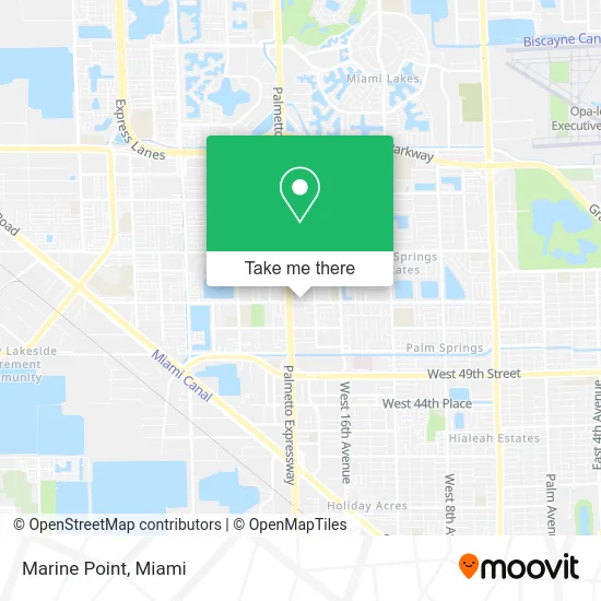
See Marine Point, Hialeah, on the map
Public Transit to Marine Point in Hialeah
Wondering how to get to Marine Point in Hialeah? Moovit helps you find the best way to get to Marine Point with step-by-step directions from the nearest public transit station.
Moovit provides free maps and live directions to help you navigate through your city. View schedules, routes, timetables, and find out how long does it take to get to Marine Point in real time.
Looking for the nearest stop or station to Marine Point? Check out this list of stops closest to your destination: W 60th St @ W 19th Ave; W 60 St @ W 18 Av.
Bus: 183, 54, HIAFLA, HIAMAR.
Want to see if there’s another route that gets you there at an earlier time? Moovit helps you find alternative routes or times. Get directions from and directions to Marine Point easily from the Moovit App or Website.
We make riding to Marine Point easy, which is why over 1.5 million users, including users in Hialeah, trust Moovit as the best app for public transit. You don’t need to download an individual bus app or train app, Moovit is your all-in-one transit app that helps you find the best bus time or train time available.
For information on prices of bus, train and light rail, costs and ride fares to Marine Point, please check the Moovit app.
Use the app to navigate to popular places including to the airport, hospital, stadium, grocery store, mall, coffee shop, school, college, and university.
Marine Point Address: 1915 W 60th St Hialeah, FL 33012 street in Hialeah
- Express Multiservice,
- Le Jeune Jewelry,
- Latin Sandwish Buffet,
- Limoncello Floweshop,
- Delgado Mdpa Carlos MD Pa,
- El Negro Fashion,
- Price Choice,
- Las Villas Multiservices,
- Cali Pharmacy & Discount (Cali Farmacia),
- Flash Contis Unisex,
- Andreliz Glamorous Fashion,
- Los Lagos Restaurant & Lounge,
- Cellular City,
- Hialeah Wellness and Rehab Center,
- Schmer Andrew J DC,
- Hands of Life,
- Fire Up Smoke Shop,
- Fosca Condo Association,
- Exxon,
- Jaimee Tire Repair
Places Near Marine Point (Hialeah)
- Keiser University Flagship Campus, West Palm Beach,
- Miami-Dade County Courthouse, Miami,
- Miami Design District, Miami,
- Aventura Mall, Miami,
- Aventura Mall, Miami Beach,
- Brickell City Centre, Miami,
- Port of Miami Cruise Terminal, Miami,
- Dolphin Mall Bus, Miami,
- Dolphin Mall, Miami,
- Hard Rock Stadium, Miami Gardens,
- Sawgrass Mall, Miami,
- Miami Freedom Park, Miami,
- Marlins Park, Miami,
- Richard E. Gerstein Justice Building, Miami,
- Sawgrass mall ( FL ), Miami Beach,
- Bayside Marketplace, Miami,
- Miami VA Hospital, Miami,
- Wynwood, Miami,
- Zoo Miami, Miami,
- Little Havana, Miami
How to get to popular places in Miami with public transit
Get around Hialeah by public transit!
Traveling around Hialeah has never been so easy. See step by step directions as you travel to any attraction, street or major public transit station. View bus and train schedules, arrival times, service alerts and detailed routes on a map, so you know exactly how to get to anywhere in Hialeah.
When traveling to any destination around Hialeah use Moovit's Live Directions with Get Off Notifications to know exactly where and how far to walk, how long to wait for your line, and how many stops are left. Moovit will alert you when it's time to get off — no need to constantly re-check whether yours is the next stop.
Wondering how to use public transit in Hialeah or how to pay for public transit in Hialeah? Moovit public transit app can help you navigate your way with public transit easily, and at minimum cost. It includes public transit fees, ticket prices, and costs. Looking for a map of Hialeah public transit lines? Moovit public transit app shows all public transit maps in Hialeah with all Bus, Train, Light Rail and Ferry routes and stops on an interactive map.
Miami has 4 transit type(s), including: Bus, Train, Light Rail and Ferry, operated by several transit agencies, including Broward County Transit, Miami-Dade Transit, Metrorail, Palm Tran, Tri-Rail, Brightline, MARTY, City of Homestead Trolley, Key West Transit, Treasure Coast Connector, GoLine IRT, Amtrak, Greyhound-us, FlixBus-us and Aventura Express Shuttle Bus