How to get to Mariscos Tonys by bus?
Click on the bus route to see step by step directions with maps, line arrival times and updated time schedules.
From Escuela Secundaria General 38, Aguascalientes
54 minFrom Fracc. Campestre La Herradura, Aguascalientes
69 minFrom IMSS Subdelegación Estatal Norte, Aguascalientes
32 minFrom Avenida Independencia, Aguascalientes
51 minFrom Blvd Miguel de la Madrid Hurtado, Aguascalientes
56 minFrom Teleperformance Aguascalientes Hacienda, Aguascalientes
49 minFrom Pocitos, Aguascalientes
61 minFrom Palacio De Justicia Penal, Aguascalientes
48 minFrom Funeraria Gayosso, Aguascalientes
37 minFrom El Penal, Aguascalientes
49 min
Bus stops near Mariscos Tonys in Aguascalientes
Bus lines to Mariscos Tonys in Aguascalientes
What are the closest stations to Mariscos Tonys?
The closest stations to Mariscos Tonys are:
- Avenida Heroe Inmortal, 403 is 92 meters away, 2 min walk.
- Avenida Arqueros, 201b is 102 meters away, 2 min walk.
- Avenida Aguascalientes Sur, 1127 is 256 meters away, 4 min walk.
- Avenida Aguascalientes Sur, 1004 is 271 meters away, 4 min walk.
Which bus lines stop near Mariscos Tonys?
These bus lines stop near Mariscos Tonys: RUTA 07, RUTA 18, RUTA 36, RUTA 40, RUTA 42.
What’s the nearest bus station to Mariscos Tonys in Aguascalientes?
The nearest bus stations to Mariscos Tonys in Aguascalientes are Avenida Heroe Inmortal, 403 and Avenida Arqueros, 201b. The closest one is a 2 min walk away.
What time is the first bus to Mariscos Tonys in Aguascalientes?
The RUTA 40 is the first bus that goes to Mariscos Tonys in Aguascalientes. It stops nearby at 5:55 AM.
What time is the last bus to Mariscos Tonys in Aguascalientes?
The RUTA 07 is the last bus that goes to Mariscos Tonys in Aguascalientes. It stops nearby at 10:59 PM.
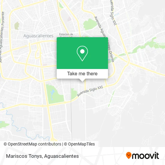
See Mariscos Tonys, Aguascalientes, on the map
Public Transit to Mariscos Tonys in Aguascalientes
Wondering how to get to Mariscos Tonys in Aguascalientes? Moovit helps you find the best way to get to Mariscos Tonys with step-by-step directions from the nearest public transit station.
Moovit provides free maps and live directions to help you navigate through your city. View schedules, routes, timetables, and find out how long does it take to get to Mariscos Tonys in real time.
Looking for the nearest stop or station to Mariscos Tonys? Check out this list of stops closest to your destination: Avenida Heroe Inmortal; Avenida Arqueros; Avenida Aguascalientes Sur; Avenida Aguascalientes Sur.
Bus: RUTA 07, RUTA 18, RUTA 36, RUTA 40, RUTA 42, RUTA 02.
Want to see if there’s another route that gets you there at an earlier time? Moovit helps you find alternative routes or times. Get directions from and directions to Mariscos Tonys easily from the Moovit App or Website.
We make riding to Mariscos Tonys easy, which is why over 1.5 million users, including users in Aguascalientes, trust Moovit as the best app for public transit. You don’t need to download an individual bus app or train app, Moovit is your all-in-one transit app that helps you find the best bus time or train time available.
For information on prices of bus, costs and ride fares to Mariscos Tonys, please check the Moovit app.
Use the app to navigate to popular places including to the airport, hospital, stadium, grocery store, mall, coffee shop, school, college, and university.
Mariscos Tonys Address: Prolongación 30 de Septiembre 136, Fracc Jardines de Casanueva, 20297 Aguascalientes, Aguascaliente street in Aguascalientes
- Totalelastik Depilación Cera Española en Aguascalientes,
- 1821 Burger House,
- Colegio Tical Ac Oficial,
- Electronica Alfa,
- Estetica Monserrat,
- Calle 30 de Septiembre,
- Tony S La Cas del Mari,
- Vivero del Rey 132,
- Planchaduria,
- Bonyelatti,
- Pizza Yumix,
- Seguridad Privada,
- Reparación de Refrigeradores,
- Centro Naturista Colibrí,
- Pastelería,
- Gorras y Souvenir,
- Ultrasonido,
- Lubricantes Campos,
- Vinos y Licores Pablo,
- California Snacks
Places Near Mariscos Tonys (Aguascalientes)
- Centro Comercial Altaria, Aguascalientes,
- Villasuncion, Aguascalientes,
- Imss Clinica 1, Aguascalientes,
- Villas de Nuestra Señora de la Asunción, Aguascalientes,
- Jesús María, Aguascalientes,
- Terminal De Combis, Aguascalientes,
- clinica 3 uaa, Aguascalientes,
- La Isla San Marcos, Aguascalientes,
- Hospital Imss No. 3, Aguascalientes,
- Agropecuario, Aguascalientes,
- Nuevo Hospital Hidalgo, Aguascalientes,
- ESPACIOS, Aguascalientes,
- Blvd. Luis Donaldo Colosio, Aguascalientes,
- Isla San Marcos, Aguascalientes,
- Aeropuerto de Aguascalientes S.A. de C.V., Aguascalientes,
- Universidad Autónoma de Aguascalientes, Aguascalientes,
- Ciudad industrial, Aguascalientes,
- Central De Autobuses, Aguascalientes,
- Parque Las Tres Centurias, Aguascalientes,
- Centro, Aguascalientes
How to get to popular places in Aguascalientes with public transit
Get around Aguascalientes by public transit!
Traveling around Aguascalientes has never been so easy. See step by step directions as you travel to any attraction, street or major public transit station. View bus and train schedules, arrival times, service alerts and detailed routes on a map, so you know exactly how to get to anywhere in Aguascalientes.
When traveling to any destination around Aguascalientes use Moovit's Live Directions with Get Off Notifications to know exactly where and how far to walk, how long to wait for your line, and how many stops are left. Moovit will alert you when it's time to get off — no need to constantly re-check whether yours is the next stop.
Wondering how to use public transit in Aguascalientes or how to pay for public transit in Aguascalientes? Moovit public transit app can help you navigate your way with public transit easily, and at minimum cost. It includes public transit fees, ticket prices, and costs. Looking for a map of Aguascalientes public transit lines? Moovit public transit app shows all public transit maps in Aguascalientes with all bus routes and stops on an interactive map.
Aguascalientes has 1 transit type(s), including: bus, operated by several transit agencies, including Coordinación General de Movilidad