How to get to Mark Bergsten do by bus?
Click on the bus route to see step by step directions with maps, line arrival times and updated time schedules.
How to get to Mark Bergsten do by train?
Click on the train route to see step by step directions with maps, line arrival times and updated time schedules.
Bus stops near Mark Bergsten do in Norfolk
Light Rail stations near Mark Bergsten do in Norfolk
- Evmc Fort Norfolk Station, 25 min walk,VIEW
Ferry station near Mark Bergsten do in Norfolk
- Ferry Stop - Waterside, 36 min walk,VIEW
Bus lines to Mark Bergsten do in Norfolk
What are the closest stations to Mark Bergsten do?
The closest stations to Mark Bergsten do are:
- Olney & Norfolk General is 320 yards away, 4 min walk.
- Colonial & Boissevain is 1035 yards away, 13 min walk.
- Evmc Fort Norfolk Station is 2053 yards away, 25 min walk.
- Ferry Stop - Waterside is 3057 yards away, 36 min walk.
Which bus lines stop near Mark Bergsten do?
These bus lines stop near Mark Bergsten do: 023, 961.
Which train line stops near Mark Bergsten do?
NORTHEAST REGIONAL (Norfolk)
Which light rail line stops near Mark Bergsten do?
800 (Evmc Fort Norfolk Station)
What’s the nearest light rail station to Mark Bergsten do in Norfolk?
The nearest light rail station to Mark Bergsten do in Norfolk is Evmc Fort Norfolk Station. It’s a 25 min walk away.
What’s the nearest bus station to Mark Bergsten do in Norfolk?
The nearest bus station to Mark Bergsten do in Norfolk is Olney & Norfolk General. It’s a 4 min walk away.
What time is the first light rail to Mark Bergsten do in Norfolk?
The 800 is the first light rail that goes to Mark Bergsten do in Norfolk. It stops nearby at 5:27 AM.
What time is the last light rail to Mark Bergsten do in Norfolk?
The 800 is the last light rail that goes to Mark Bergsten do in Norfolk. It stops nearby at 11:37 PM.
What time is the first bus to Mark Bergsten do in Norfolk?
The 023 is the first bus that goes to Mark Bergsten do in Norfolk. It stops nearby at 5:05 AM.
What time is the last bus to Mark Bergsten do in Norfolk?
The 002 is the last bus that goes to Mark Bergsten do in Norfolk. It stops nearby at 12:39 AM.
What time is the first ferry to Mark Bergsten do in Norfolk?
The 090 is the first ferry that goes to Mark Bergsten do in Norfolk. It stops nearby at 5:45 AM.
What time is the last ferry to Mark Bergsten do in Norfolk?
The 090 is the last ferry that goes to Mark Bergsten do in Norfolk. It stops nearby at 9:45 PM.
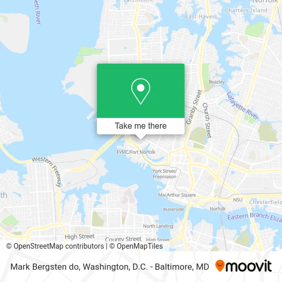
See Mark Bergsten do, Norfolk, on the map
Public Transit to Mark Bergsten do in Norfolk
Wondering how to get to Mark Bergsten do in Norfolk? Moovit helps you find the best way to get to Mark Bergsten do with step-by-step directions from the nearest public transit station.
Moovit provides free maps and live directions to help you navigate through your city. View schedules, routes, timetables, and find out how long does it take to get to Mark Bergsten do in real time.
Looking for the nearest stop or station to Mark Bergsten do? Check out this list of stops closest to your destination: Olney & Norfolk General; Colonial & Boissevain; Evmc Fort Norfolk Station; Ferry Stop - Waterside.
Bus: 023, 961, 002, 044, 011.Train: NORTHEAST REGIONAL.Light Rail: 800.Ferry: 090.
Want to see if there’s another route that gets you there at an earlier time? Moovit helps you find alternative routes or times. Get directions from and directions to Mark Bergsten do easily from the Moovit App or Website.
We make riding to Mark Bergsten do easy, which is why over 1.5 million users, including users in Norfolk, trust Moovit as the best app for public transit. You don’t need to download an individual bus app or train app, Moovit is your all-in-one transit app that helps you find the best bus time or train time available.
For information on prices of bus, train and light rail, costs and ride fares to Mark Bergsten do, please check the Moovit app.
Use the app to navigate to popular places including to the airport, hospital, stadium, grocery store, mall, coffee shop, school, college, and university.
Mark Bergsten do Address: 721 Fairfax Ave Norfolk, VA 23507 street in Norfolk
- Alexandra G Davis MD,
- FedEx,
- Ghent Family Practice,
- Sentara Pain Management,
- Find Chiropractic Near Me,
- Quidgley-Nevarres Antonio MD,
- Office of Research,
- Hall Carolyn Ma CCC A,
- Evms Department of Physical Medicine and Rehabilitation,
- Edward Prodanovic, MD,
- Evms Department of Dermatology,
- Norfolk Fire Station 6,
- Norfolk Fire Rescue Station 6,
- EV Charging Station,
- USPS Collection Box - Blue Box,
- Visitor Parking,
- Visitor Parking,
- Ronald McDonald House Charities of Norfolk,
- Central Baptist Church,
- Ronald Mcdonald House Charities
Places Near Mark Bergsten do (Norfolk)
- Rock Creek Tennis Center, Washington,
- Basilica of the National Shrine, Washington,
- Marriott Marquis Washington, DC, Washington,
- National Zoo, Washington,
- National Mall, Washington,
- Washington DC VA Medical Center, Washington,
- Pennsylvania Ave NW (3rd st and pennsylvania), Washington,
- Sibley Memorial Hospital, Washington,
- PG Mall, Prince George's County,
- Westfield Montgomery Mall, Montgomery County,
- Georgetown, Washington,
- Amazon Hq2, Arlington County,
- The Anthem, Washington,
- Washington National Cathedral, Washington,
- National Museum of African American History and Culture, Washington,
- Capital One Arena, Washington,
- Warner Theatre, Washington,
- Museum Of The Bible, Washington,
- Camden Yards, Baltimore,
- M&T Bank Stadium, Baltimore
How to get to popular places in Washington, D.C. - Baltimore, MD with public transit
Get around Norfolk by public transit!
Traveling around Norfolk has never been so easy. See step by step directions as you travel to any attraction, street or major public transit station. View bus and train schedules, arrival times, service alerts and detailed routes on a map, so you know exactly how to get to anywhere in Norfolk.
When traveling to any destination around Norfolk use Moovit's Live Directions with Get Off Notifications to know exactly where and how far to walk, how long to wait for your line, and how many stops are left. Moovit will alert you when it's time to get off — no need to constantly re-check whether yours is the next stop.
Wondering how to use public transit in Norfolk or how to pay for public transit in Norfolk? Moovit public transit app can help you navigate your way with public transit easily, and at minimum cost. It includes public transit fees, ticket prices, and costs. Looking for a map of Norfolk public transit lines? Moovit public transit app shows all public transit maps in Norfolk with all Bus, Train, Metro, Light Rail and Ferry routes and stops on an interactive map.
Washington, D.C. - Baltimore, MD has 5 transit type(s), including: Bus, Train, Metro, Light Rail and Ferry, operated by several transit agencies, including WMATA, Montgomery County Ride On, Fairfax Connector, TheBus, PRTC, DASH - Alexandria, Arlington Transit (ART), RTA of Central Maryland, MDOT MTA, MDOT MTA Light RailLink, MDOT MTA Commuter Bus, MDOT MTA Local Bus, FXBGO!, Virginia Railway Express (VRE) and MARC