Market St @ Sparhawk St stop - Monday schedule
| Line | Direction | Time |
|---|---|---|
| 86 | Harvard | 5:32 AM |
| 86 | Harvard | 5:50 AM |
| 86 | Harvard | 6:09 AM |
| 86 | Harvard | 6:25 AM |
| 86 | Harvard | 6:41 AM |
| 86 | Harvard | 6:54 AM |
| 86 | Harvard | 7:06 AM |
| 86 | Harvard | 7:19 AM |
| 86 | Harvard | 7:31 AM |
| 86 | Harvard | 7:44 AM |
| 86 | Harvard | 7:56 AM |
| 86 | Harvard | 8:10 AM |
| 86 | Harvard | 8:23 AM |
| 86 | Harvard | 8:36 AM |
| 86 | Harvard | 8:49 AM |
| 86 | Harvard | 9:01 AM |
| 86 | Harvard | 9:13 AM |
| 86 | Harvard | 9:33 AM |
| 86 | Harvard | 9:53 AM |
| 86 | Harvard | 10:13 AM |
| 86 | Harvard | 10:33 AM |
| 86 | Harvard | 10:53 AM |
| 86 | Harvard | 11:13 AM |
| 86 | Harvard | 11:33 AM |
| 86 | Harvard | 11:53 AM |
Directions to Market St @ Sparhawk St stop (Boston) with public transit
The following transit lines have routes that pass near Market St @ Sparhawk St
 Bus: 501, 57, 86, 65.
- Train: FRAMINGHAM/WORCESTER.
- Subway: GREEN LINE B.
How to get to Market St @ Sparhawk St stop by bus?
Click on the bus route to see step by step directions with maps, line arrival times and updated time schedules.
How to get to Market St @ Sparhawk St stop by train?
Click on the train route to see step by step directions with maps, line arrival times and updated time schedules.
How to get to Market St @ Sparhawk St stop by subway?
Click on the subway route to see step by step directions with maps, line arrival times and updated time schedules.
Bus stops near Market St @ Sparhawk St stop in Boston
- Market St @ Arlington St, 1 min walk,
- Washington St @ Market St, 5 min walk,
- Washington St Opp Waldo Terr, 5 min walk,
Subway stations near Market St @ Sparhawk St station in Boston
- Allston Street, 9 min walk,
Bus lines to Market St @ Sparhawk St stop in Boston
- 86, Harvard,
- 57, Haymarket Via Kenmore,
- 501, Downtown Via Cambridge St And Copley (Express),
- 65, Kenmore,
What are the closest stations to Market St @ Sparhawk St?
The closest stations to Market St @ Sparhawk St are:
- Market St @ Arlington St stop is 54 yards away, 1 min walk.
- Washington St @ Market St stop is 395 yards away, 5 min walk.
- Washington St Opp Waldo Terr stop is 427 yards away, 5 min walk.
- Allston Street station is 766 yards away, 9 min walk.
Which bus lines stop near Market St @ Sparhawk St?
These bus lines stop near Market St @ Sparhawk St: 501, 57, 86.
Which train line stops near Market St @ Sparhawk St?
FRAMINGHAM/WORCESTER (#525 | Worcester)
Which subway line stops near Market St @ Sparhawk St?
GREEN LINE B (Boston College)
What’s the nearest subway station to Market St @ Sparhawk St in Boston?
The nearest subway station to Market St @ Sparhawk St in Boston is Allston Street. It’s a 9 min walk away.
What’s the nearest bus station to Market St @ Sparhawk St in Boston?
The nearest bus station to Market St @ Sparhawk St in Boston is Market St @ Arlington St. It’s a 1 min walk away.
What time is the first subway to Market St @ Sparhawk St in Boston?
The GREEN LINE B is the first subway that goes to Market St @ Sparhawk St in Boston. It stops nearby at 5:07 AM.
What time is the last subway to Market St @ Sparhawk St in Boston?
The GREEN LINE B is the last subway that goes to Market St @ Sparhawk St in Boston. It stops nearby at 1:39 AM.
What time is the first bus to Market St @ Sparhawk St in Boston?
The 57 is the first bus that goes to Market St @ Sparhawk St in Boston. It stops nearby at 4:36 AM.
What time is the last bus to Market St @ Sparhawk St in Boston?
The 57 is the last bus that goes to Market St @ Sparhawk St in Boston. It stops nearby at 2:26 AM.
Market St @ Sparhawk St station
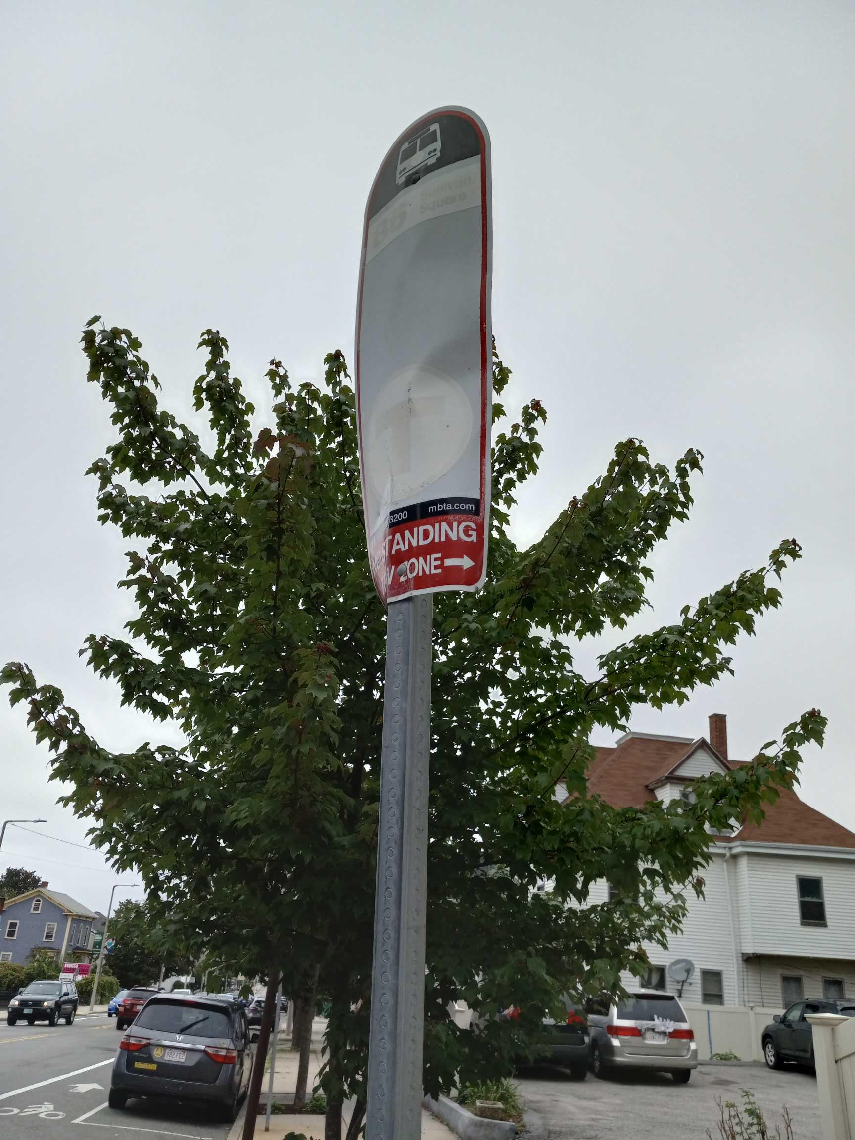 Taken by Zhexun L.
See Market St @ Sparhawk St stop, Boston, on the map
Public transit to Market St @ Sparhawk St stop (ID: 1036) in Boston
Looking for directions to Market St @ Sparhawk St in Boston, United States?
Download the Moovit App to find the current schedule and step-by-step directions for Bus, Subway or Train routes that pass through Market St @ Sparhawk St.
Looking for the nearest stops closest to Market St @ Sparhawk St ? Check out this list of closest stops to your destination: Market St @ Arlington St; Washington St @ Market St; Washington St Opp Waldo Terr; Allston Street.
Bus: 501, 57, 86, 65.Train: FRAMINGHAM/WORCESTER.Subway: GREEN LINE B.
We make riding on public transit to Market St @ Sparhawk St easy, which is why over 1.7 billion users, including users in Boston trust Moovit as the best app for public transit.
Use the app to navigate to popular places including to the airport, hospital, stadium, grocery store, mall, coffee shop, school, college, and university.
Market St @ Sparhawk St stop’s code is 1036
The first line to this stop is 86, at 5:32 AM, and the last line is 86 at 12:59 AM.
330 Market Street, Boston, MA, USA
This stop serves MBTA’s lines
- Market St @ Arlington St,
- Washington St @ Market St,
- Washington St Opp Waldo Terr
Bus stops near Market St @ Sparhawk St stop
- Allston Street
Subway station near Market St @ Sparhawk St station
- Vassar St @ Massachusetts Ave,
- Burlington Mall Rd @ Lahey Hospital & Medical Ctr,
- Reservoir,
- School St Opp Gay St,
- Branch Street - Dana-Farber Cancer Institute,
- North Central Industrial Park (After Crownmark),
- Slater Mill (Roosevelt & Main),
- Hawthorne Blvd @ Washington Sq S,
- Water Street & Holt Street,
- Main St @ Bradford St,
- Central Plaza (Market Basket), Fitchburg,
- West Main Street @ Star Market, Hyannis,
- Technology Way @ Watertown Yard,
- Main St @ Belmont St,
- Greenbush,
- Oak St And Oak Lane And Chateau Westgate,
- Chelsea St @ Warren St,
- Main St @ Floyd St,
- Causeway St (East)
Popular public transit stations in Boston
Get around Boston by public transit!
Traveling around Boston has never been so easy. See step by step directions as you travel to any attraction, street or major public transit station. View bus and train schedules, arrival times, service alerts and detailed routes on a map, so you know exactly how to get to anywhere in Boston.
When traveling to any destination around Boston use Moovit's Live Directions with Get Off Notifications to know exactly where and how far to walk, how long to wait for your line, and how many stops are left. Moovit will alert you when it's time to get off — no need to constantly re-check whether yours is the next stop.
Wondering how to use public transit in Boston or how to pay for public transit in Boston? Moovit public transit app can help you navigate your way with public transit easily, and at minimum cost. It includes public transit fees, ticket prices, and costs. Looking for a map of Boston public transit lines? Moovit public transit app shows all public transit maps in Boston with all Bus, Train, Subway and Ferry routes and stops on an interactive map.
Boston has 4 transit type(s), including: Bus, Train, Subway and Ferry, operated by several transit agencies, including MBTA, Southeastern Regional Transit Authority, MetroWest Regional Transit Authority, Rhode Island Public Transit Authority, WRTA, Lowell Regional Transit Authority, MEVA, Montachusett Regional Transit Authority, Cape Cod Regional Transit Authority, Brockton Area Transit Authority, Martha's Vineyard Transit Authority, Nantucket Regional Transit Authority, GATRA, Cape Ann Transportation Authority and Massport