How to get to Mat Security by bus?
Click on the bus route to see step by step directions with maps, line arrival times and updated time schedules.
From Farewell Chapels of Misericordia of Antella, Bagno a Ripoli
60 minFrom Marconi Street 50, Prato
48 minFrom Sorgane, Florence
47 minFrom Lastra A Signa, Lastra A Signa
78 minFrom Mondo Convenienza, Prato
57 minFrom Rondinella Street, Florence
54 minFrom University of Florence - Psychology School - La Torretta Campus, Florence
43 minFrom D'Annunzio Health Center, Florence
56 minFrom Signa, Signa
78 minFrom Villa Costanza/Florence Tramway, Scandicci
84 min
How to get to Mat Security by train?
Click on the train route to see step by step directions with maps, line arrival times and updated time schedules.
Bus stops near Mat Security in Florence
Light Rail stations near Mat Security in Florence
- San Donato - University, 10 min walk,VIEW
Bus lines to Mat Security in Florence
What are the closest stations to Mat Security?
The closest stations to Mat Security are:
- Baracca Paganini is 216 meters away, 4 min walk.
- Tuscany Region is 275 meters away, 4 min walk.
- Redi San Donato is 409 meters away, 6 min walk.
- San Donato - University is 743 meters away, 10 min walk.
Which bus lines stop near Mat Security?
These bus lines stop near Mat Security: 17, 30, 35, 56.
Which train line stops near Mat Security?
R (Florence)
Which light rail line stops near Mat Security?
T2 (San Marco > Peretola)
What’s the nearest light rail station to Mat Security in Florence?
The nearest light rail station to Mat Security in Florence is San Donato - University. It’s a 10 min walk away.
What’s the nearest bus station to Mat Security in Florence?
The nearest bus stations to Mat Security in Florence are Baracca Paganini and Tuscany Region. The closest one is a 4 min walk away.
What time is the first light rail to Mat Security in Florence?
The T2 is the first light rail that goes to Mat Security in Florence. It stops nearby at 5:04 AM.
What time is the last light rail to Mat Security in Florence?
The T2 is the last light rail that goes to Mat Security in Florence. It stops nearby at 12:49 AM.
What time is the first bus to Mat Security in Florence?
The 30 is the first bus that goes to Mat Security in Florence. It stops nearby at 5:16 AM.
What time is the last bus to Mat Security in Florence?
The 35 is the last bus that goes to Mat Security in Florence. It stops nearby at 1:12 AM.
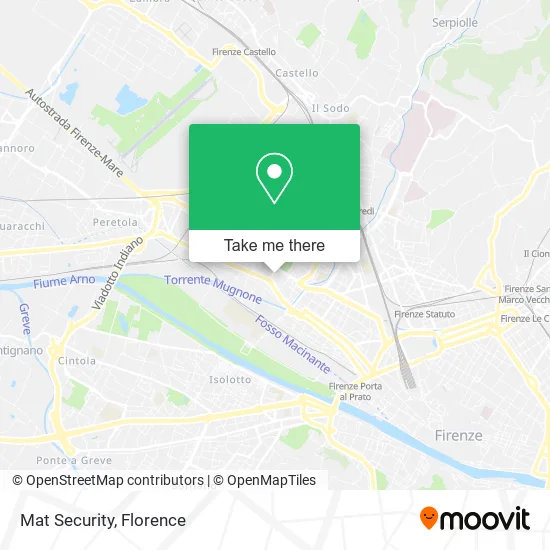
See Mat Security, Florence, on the map
Public Transit to Mat Security in Florence
Wondering how to get to Mat Security in Florence? Moovit helps you find the best way to get to Mat Security with step-by-step directions from the nearest public transit station.
Moovit provides free maps and live directions to help you navigate through your city. View schedules, routes, timetables, and find out how long does it take to get to Mat Security in real time.
Looking for the nearest stop or station to Mat Security? Check out this list of stops closest to your destination: Baracca Paganini; Tuscany Region; Redi San Donato; San Donato - University.
Bus: 17, 30, 35, 56, 301 A, 5, ST6, 29, 55, 57.Train: R.Light Rail: T2.
Want to see if there’s another route that gets you there at an earlier time? Moovit helps you find alternative routes or times. Get directions from and directions to Mat Security easily from the Moovit App or Website.
We make riding to Mat Security easy, which is why over 1.5 million users, including users in Florence, trust Moovit as the best app for public transit. You don’t need to download an individual bus app or train app, Moovit is your all-in-one transit app that helps you find the best bus time or train time available.
For information on prices of bus, light rail and train, costs and ride fares to Mat Security, please check the Moovit app.
Use the app to navigate to popular places including to the airport, hospital, stadium, grocery store, mall, coffee shop, school, college, and university.
Mat Security Address: Via Antonio Stradivari, 23 50127 Firenze street in Florence
- Lawyer Damiano Giunti,
- Simona Fani Lawyer,
- Campostrini Elena,
- Liz's House,
- Mannucci Gianni,
- Marco Arena,
- Lorenzo Bacci,
- Abita S.,
- Premier Consulting by Corrado Lombardi,
- Silvia's Home,
- Bike Sharing Station,
- ZEN Center Dibi Center,
- Paganini Hotel,
- Claudia Hair Stylist Unisex by Popa Acasandrei Claudia,
- C&G Associated Legal Studio,
- Techlee Smartphone and PC Repair and Assistance,
- Orlando Stefano,
- Superstore,
- Tuscany Starhotels,
- Paganini Hotel Florence Italy
Places Near Mat Security (Florence)
- IKEA Florence, Sesto Fiorentino,
- Michelangelo Square, Florence,
- I Gigli, Campi Bisenzio,
- Asmana, Campi Bisenzio,
- Artemio Franchi Municipal Stadium, Florence,
- Cascine Park, Florence,
- Field of Mars, Florence,
- Wanny Palace, Florence,
- Michelangelo Square, Florence,
- Tobacco Manufacture, Florence,
- Viola Park, Bagno a Ripoli,
- Santa Maria Novella Station, Florence,
- Torregalli Hospital Scandicci *, Scandicci,
- Verdi Theater, Florence,
- OOO, Florence,
- Piero Palagi Hospital Facility-Florence, Florence,
- Santa Maria Nuova Hospital, Florence,
- Nelson Mandela Forum, Florence,
- Campi Bisenzio, Campi Bisenzio,
- Mandela Forum (Nelson Mandela Forum), Florence
How to get to popular places in Florence with public transit
Get around Florence by public transit!
Traveling around Florence has never been so easy. See step by step directions as you travel to any attraction, street or major public transit station. View bus and train schedules, arrival times, service alerts and detailed routes on a map, so you know exactly how to get to anywhere in Florence.
When traveling to any destination around Florence use Moovit's Live Directions with Get Off Notifications to know exactly where and how far to walk, how long to wait for your line, and how many stops are left. Moovit will alert you when it's time to get off — no need to constantly re-check whether yours is the next stop.
Wondering how to use public transit in Florence or how to pay for public transit in Florence? Moovit public transit app can help you navigate your way with public transit easily, and at minimum cost. It includes public transit fees, ticket prices, and costs. Looking for a map of Florence public transit lines? Moovit public transit app shows all public transit maps in Florence with all Bus, Train, Light Rail, Ferry and Funicular routes and stops on an interactive map.
Florence has 5 transit type(s), including: Bus, Train, Light Rail, Ferry and Funicular, operated by several transit agencies, including Florence Urban - Tuscan Bus Lines, GEST, Florence and Province - Tuscan Bus Lines, Livorno and Province - Tuscan Bus Lines, Arezzo, Florence and Provinces - Tuscan Bus Lines, Prato and Province - Tuscan Bus Lines, Massa, Carrara and Province - Tuscan Bus Lines, Pisa and Province - Tuscan Bus Lines, Grosseto, Siena and Provinces - Tuscan Bus Lines, Arezzo, Siena and Provinces - Tuscan Bus Lines, Pistoia and Province - Tuscan Bus Lines, Siena and Province - Tuscan Bus Lines, Arezzo and Province - Tuscan Bus Lines, Lucca and Province - Tuscan Bus Lines and Trenitalia