How to get to Materiales Agular by bus?
Click on the bus route to see step by step directions with maps, line arrival times and updated time schedules.
From Maravillas, Jesus Maria, Aguascalientes
41 minFrom Mangata Residencial, Aguascalientes
58 minFrom San Francisco, Aguascalientes
70 minFrom panteon San Francisco, Aguascalientes
65 minFrom Col. San Pablo, Aguascalientes
37 minFrom La Aurora Residencial, Aguascalientes
79 minFrom Fracc. Arboledas de Paso Blanco, Aguascalientes
70 minFrom Fracc. Canteras de San Javier, Aguascalientes
58 minFrom Hopaliz Eventos, Aguascalientes
49 minFrom Costco, Aguascalientes
56 min
Bus stops near Materiales Agular in Aguascalientes
Bus lines to Materiales Agular in Aguascalientes
What are the closest stations to Materiales Agular?
The closest stations to Materiales Agular are:
- Avenida Cultura Maya 104, 104_24 is 395 meters away, 6 min walk.
- General Lázaro Cárdenas, Lb is 497 meters away, 7 min walk.
Which bus lines stop near Materiales Agular?
These bus lines stop near Materiales Agular: RUTA 09, RUTA 16, RUTA 23, RUTA 42, RUTA 45, RUTA 50.
What’s the nearest bus station to Materiales Agular in Aguascalientes?
The nearest bus station to Materiales Agular in Aguascalientes is Avenida Cultura Maya 104, 104_24. It’s a 6 min walk away.
What time is the first bus to Materiales Agular in Aguascalientes?
The RUTA 48 is the first bus that goes to Materiales Agular in Aguascalientes. It stops nearby at 5:59 AM.
What time is the last bus to Materiales Agular in Aguascalientes?
The RUTA 45 is the last bus that goes to Materiales Agular in Aguascalientes. It stops nearby at 10:28 PM.
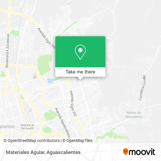
See Materiales Agular, Aguascalientes, on the map
Public Transit to Materiales Agular in Aguascalientes
Wondering how to get to Materiales Agular in Aguascalientes? Moovit helps you find the best way to get to Materiales Agular with step-by-step directions from the nearest public transit station.
Moovit provides free maps and live directions to help you navigate through your city. View schedules, routes, timetables, and find out how long does it take to get to Materiales Agular in real time.
Looking for the nearest stop or station to Materiales Agular? Check out this list of stops closest to your destination: Avenida Cultura Maya 104; General Lázaro Cárdenas.
Bus: RUTA 09, RUTA 16, RUTA 23, RUTA 42, RUTA 45, RUTA 50, RUTA 48.
Want to see if there’s another route that gets you there at an earlier time? Moovit helps you find alternative routes or times. Get directions from and directions to Materiales Agular easily from the Moovit App or Website.
We make riding to Materiales Agular easy, which is why over 1.5 million users, including users in Aguascalientes, trust Moovit as the best app for public transit. You don’t need to download an individual bus app or train app, Moovit is your all-in-one transit app that helps you find the best bus time or train time available.
For information on prices of bus, costs and ride fares to Materiales Agular, please check the Moovit app.
Use the app to navigate to popular places including to the airport, hospital, stadium, grocery store, mall, coffee shop, school, college, and university.
Materiales Agular Address: Calle Santa María 109, Los Pericos, 20174 Aguascalientes, Aguascalientes street in Aguascalientes
- Abarrotes Perla,
- Paso a Paso con El A.C,
- Servicios de Preparación de Otros Alimentos para Consumo Inmediato,
- Abarrotes Armando's,
- Abarrotes Chikeles,
- Carnitas Charly,
- Taller de Hojalateria y Pintura,
- WESTERN UNION,
- José F Elizondo,
- Iglesia Cristiana Pentecostés Independiente,
- Iglesia Príncipe de Paz,
- Grupo Despertar 30 de Noviembre,
- La Jungla,
- Tienda Josefa,
- Ropa y Novedades,
- Ferreteria y Materiales Fer,
- Abarrotes Santa Valeria,
- Tiendita,
- Instituto del Agua del Estado,
- Abarrotes El Chicharo
Places Near Materiales Agular (Aguascalientes)
- Jesús María, Aguascalientes,
- Hospital Imss No. 3, Aguascalientes,
- Centro Comercial Altaria, Aguascalientes,
- Central De Autobuses, Aguascalientes,
- Isla San Marcos, Aguascalientes,
- Villasuncion, Aguascalientes,
- Imss Clinica 1, Aguascalientes,
- Blvd. Luis Donaldo Colosio, Aguascalientes,
- Nuevo Hospital Hidalgo, Aguascalientes,
- Centro, Aguascalientes,
- Aeropuerto de Aguascalientes S.A. de C.V., Aguascalientes,
- Parque Las Tres Centurias, Aguascalientes,
- clinica 3 uaa, Aguascalientes,
- La Isla San Marcos, Aguascalientes,
- Universidad Autónoma de Aguascalientes, Aguascalientes,
- Ciudad industrial, Aguascalientes,
- Agropecuario, Aguascalientes,
- Villas de Nuestra Señora de la Asunción, Aguascalientes,
- ESPACIOS, Aguascalientes,
- Terminal De Combis, Aguascalientes
How to get to popular places in Aguascalientes with public transit
Get around Aguascalientes by public transit!
Traveling around Aguascalientes has never been so easy. See step by step directions as you travel to any attraction, street or major public transit station. View bus and train schedules, arrival times, service alerts and detailed routes on a map, so you know exactly how to get to anywhere in Aguascalientes.
When traveling to any destination around Aguascalientes use Moovit's Live Directions with Get Off Notifications to know exactly where and how far to walk, how long to wait for your line, and how many stops are left. Moovit will alert you when it's time to get off — no need to constantly re-check whether yours is the next stop.
Wondering how to use public transit in Aguascalientes or how to pay for public transit in Aguascalientes? Moovit public transit app can help you navigate your way with public transit easily, and at minimum cost. It includes public transit fees, ticket prices, and costs. Looking for a map of Aguascalientes public transit lines? Moovit public transit app shows all public transit maps in Aguascalientes with all bus routes and stops on an interactive map.
Aguascalientes has 1 transit type(s), including: bus, operated by several transit agencies, including Coordinación General de Movilidad