How to get to Matos Motor Work by bus?
Click on the bus route to see step by step directions with maps, line arrival times and updated time schedules.
From Palmetto General Hospital, Hialeah
101 minFrom Hialeah Gardens, Hialeah
85 minFrom Imater Academy Charter Middle/High School, Hialeah
82 minFrom Troll-n-Zone, Miami
73 minFrom Sawgrass Mills Mall, Miami
81 minFrom NW 95th St / NW 17th Ave, Miami
61 minFrom Miami Jackson North Medical Center, Miami
43 minFrom Pembroke Lakes Mall Shopping Center, Miramar-Pembroke Pines
114 minFrom Hialeah, FL, Hialeah
84 minFrom NW 79th St / NW 7th Ave, Miami
59 min
How to get to Matos Motor Work by train?
Click on the train route to see step by step directions with maps, line arrival times and updated time schedules.
Bus stops near Matos Motor Work in Miami Gardens
Train station near Matos Motor Work in Miami Gardens
- Opa-Locka Station, 44 min walk,VIEW
Bus lines to Matos Motor Work in Miami Gardens
What are the closest stations to Matos Motor Work?
The closest stations to Matos Motor Work are:
- Nw 37 Av & Nw 167 St is 19 yards away, 1 min walk.
- Nw 175 St & Nw 37 Pl is 904 yards away, 11 min walk.
- Opa-Locka Station is 3736 yards away, 44 min walk.
Which bus lines stop near Matos Motor Work?
These bus lines stop near Matos Motor Work: 32, 75.
Which train line stops near Matos Motor Work?
TRIRAIL (Northbound To Mangonia Park)
What’s the nearest bus station to Matos Motor Work in Miami Gardens?
The nearest bus station to Matos Motor Work in Miami Gardens is Nw 37 Av & Nw 167 St. It’s a 1 min walk away.
What time is the first train to Matos Motor Work in Miami Gardens?
The TRIRAIL is the first train that goes to Matos Motor Work in Miami Gardens. It stops nearby at 4:02 AM.
What time is the last train to Matos Motor Work in Miami Gardens?
The TRIRAIL is the last train that goes to Matos Motor Work in Miami Gardens. It stops nearby at 10:29 PM.
What time is the first bus to Matos Motor Work in Miami Gardens?
The 32 is the first bus that goes to Matos Motor Work in Miami Gardens. It stops nearby at 5:14 AM.
What time is the last bus to Matos Motor Work in Miami Gardens?
The 32 is the last bus that goes to Matos Motor Work in Miami Gardens. It stops nearby at 12:05 AM.
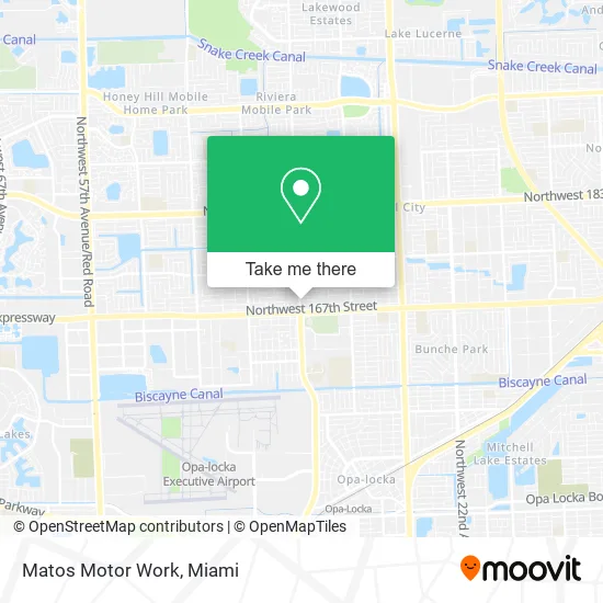
See Matos Motor Work, Miami Gardens, on the map
Public Transit to Matos Motor Work in Miami Gardens
Wondering how to get to Matos Motor Work in Miami Gardens? Moovit helps you find the best way to get to Matos Motor Work with step-by-step directions from the nearest public transit station.
Moovit provides free maps and live directions to help you navigate through your city. View schedules, routes, timetables, and find out how long does it take to get to Matos Motor Work in real time.
Looking for the nearest stop or station to Matos Motor Work? Check out this list of stops closest to your destination: Nw 37 Av & Nw 167 St; Nw 175 St & Nw 37 Pl; Opa-Locka Station.
Bus: 32, 75.Train: TRIRAIL.
Want to see if there’s another route that gets you there at an earlier time? Moovit helps you find alternative routes or times. Get directions from and directions to Matos Motor Work easily from the Moovit App or Website.
We make riding to Matos Motor Work easy, which is why over 1.5 million users, including users in Miami Gardens, trust Moovit as the best app for public transit. You don’t need to download an individual bus app or train app, Moovit is your all-in-one transit app that helps you find the best bus time or train time available.
For information on prices of bus and train, costs and ride fares to Matos Motor Work, please check the Moovit app.
Use the app to navigate to popular places including to the airport, hospital, stadium, grocery store, mall, coffee shop, school, college, and university.
Matos Motor Work Address: 16855 NW 37th Ave Miami Gardens, FL 33056 street in Miami Gardens
- 24 Hours Locksmith of Miami-Dade Inc,
- Bree,
- Miami Gardens Laundry,
- Dream Beauty Supply,
- Minute Key,
- Olympia Logistics & Services, Inc,
- NW 167th St / NW 37th Pl,
- Breakthrough International Christian Center,
- Reliable Parts,
- Cosmeticos al Por Mayor,
- Tyty's Kitchen,
- St Thomas University (STU),
- M3j Distributors,
- Chrisomni Ministries,
- Lumber Liquidators Flooring,
- LL Flooring,
- St. Thomas University Vita,
- Jorge Alejandro Coronel, MD,
- Amazon Locker-Deduce,
- Folletts St Thomas Book Store
Places Near Matos Motor Work (Miami Gardens)
- Miami VA Hospital, Miami,
- Brickell City Centre, Miami,
- Little Havana, Miami,
- Aventura Mall, Miami Beach,
- Aventura Mall, Miami,
- Port of Miami Cruise Terminal, Miami,
- Sawgrass Mall, Miami,
- Bayside Marketplace, Miami,
- Miami-Dade County Courthouse, Miami,
- Miami Design District, Miami,
- Dolphin Mall Bus, Miami,
- Sawgrass mall ( FL ), Miami Beach,
- Miami Freedom Park, Miami,
- Keiser University Flagship Campus, West Palm Beach,
- Dolphin Mall, Miami,
- Zoo Miami, Miami,
- Marlins Park, Miami,
- Hard Rock Stadium, Miami Gardens,
- Wynwood, Miami,
- Richard E. Gerstein Justice Building, Miami
How to get to popular places in Miami with public transit
Get around Miami Gardens by public transit!
Traveling around Miami Gardens has never been so easy. See step by step directions as you travel to any attraction, street or major public transit station. View bus and train schedules, arrival times, service alerts and detailed routes on a map, so you know exactly how to get to anywhere in Miami Gardens.
When traveling to any destination around Miami Gardens use Moovit's Live Directions with Get Off Notifications to know exactly where and how far to walk, how long to wait for your line, and how many stops are left. Moovit will alert you when it's time to get off — no need to constantly re-check whether yours is the next stop.
Wondering how to use public transit in Miami Gardens or how to pay for public transit in Miami Gardens? Moovit public transit app can help you navigate your way with public transit easily, and at minimum cost. It includes public transit fees, ticket prices, and costs. Looking for a map of Miami Gardens public transit lines? Moovit public transit app shows all public transit maps in Miami Gardens with all Bus, Train, Light Rail and Ferry routes and stops on an interactive map.
Miami has 4 transit type(s), including: Bus, Train, Light Rail and Ferry, operated by several transit agencies, including Broward County Transit, Miami-Dade Transit, Metrorail, Palm Tran, Tri-Rail, Brightline, MARTY, City of Homestead Trolley, Key West Transit, Treasure Coast Connector, GoLine IRT, Amtrak, Greyhound-us, FlixBus-us and Aventura Express Shuttle Bus