How to get to Maxel by bus?
Click on the bus route to see step by step directions with maps, line arrival times and updated time schedules.
From Puccini Square, Florence
40 minFrom Giambattista Lulli Street, 7, Florence
44 minFrom New San Giovanni Di Dio Hospital, Florence
85 minFrom Scandicci Fair, Scandicci
118 minFrom Cascine Racecourse, Florence
48 minFrom Florence-Pisa-Livorno Highway, Florence
96 minFrom Mercadante Street, Florence
46 minFrom 1 Panciatichi Street, Florence
58 minFrom Giuseppe Galliano Street, Florence
43 minFrom Pietro Toselli Street, Florence
43 min
Bus stops near Maxel in Campi Bisenzio
Train station near Maxel in Campi Bisenzio
- Calenzano, 40 min walk,VIEW
Bus lines to Maxel in Campi Bisenzio
What are the closest stations to Maxel?
The closest stations to Maxel are:
- Of Paradise is 64 meters away, 2 min walk.
- Magenta is 495 meters away, 7 min walk.
- Barberinese Paradiso is 564 meters away, 8 min walk.
- Calenzano is 3091 meters away, 40 min walk.
Which bus line stops near Maxel?
30 (Campi Bisenzio Galilei)
What’s the nearest bus station to Maxel in Campi Bisenzio?
The nearest bus station to Maxel in Campi Bisenzio is Of Paradise. It’s a 2 min walk away.
What time is the first train to Maxel in Campi Bisenzio?
The R is the first train that goes to Maxel in Campi Bisenzio. It stops nearby at 5:41 AM.
What time is the last train to Maxel in Campi Bisenzio?
The R is the last train that goes to Maxel in Campi Bisenzio. It stops nearby at 12:49 AM.
What time is the first bus to Maxel in Campi Bisenzio?
The 30 is the first bus that goes to Maxel in Campi Bisenzio. It stops nearby at 5:41 AM.
What time is the last bus to Maxel in Campi Bisenzio?
The 30 is the last bus that goes to Maxel in Campi Bisenzio. It stops nearby at 1:40 AM.
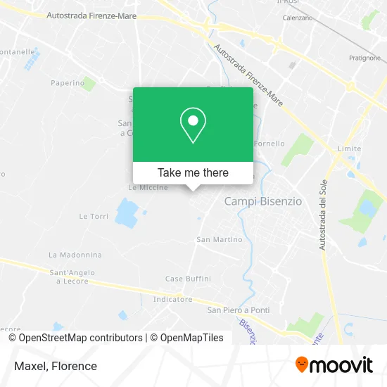
See Maxel, Campi Bisenzio, on the map
Public Transit to Maxel in Campi Bisenzio
Wondering how to get to Maxel in Campi Bisenzio? Moovit helps you find the best way to get to Maxel with step-by-step directions from the nearest public transit station.
Moovit provides free maps and live directions to help you navigate through your city. View schedules, routes, timetables, and find out how long does it take to get to Maxel in real time.
Looking for the nearest stop or station to Maxel? Check out this list of stops closest to your destination: Of Paradise; Magenta; Barberinese Paradiso; Calenzano.
Bus: 30, 75, 86, 35, 206, 87, 94, 212.Train: R, R, R.
Want to see if there’s another route that gets you there at an earlier time? Moovit helps you find alternative routes or times. Get directions from and directions to Maxel easily from the Moovit App or Website.
We make riding to Maxel easy, which is why over 1.5 million users, including users in Campi Bisenzio, trust Moovit as the best app for public transit. You don’t need to download an individual bus app or train app, Moovit is your all-in-one transit app that helps you find the best bus time or train time available.
For information on prices of bus and light rail, costs and ride fares to Maxel, please check the Moovit app.
Use the app to navigate to popular places including to the airport, hospital, stadium, grocery store, mall, coffee shop, school, college, and university.
Maxel Address: Via Palestro, 11 50013 Campi Bisenzio street in Campi Bisenzio
- S.E.I. by Franchini Monticelli,
- Thermodynamic 90,
- S.I.C.E.D.,
- Mazzanti Gastone,
- Amicame,
- Gibi Graph by Badiani Gabriele,
- Leather Goods Caiguo by Zhena Caiguo,
- Phorm,
- Toscafè,
- Dopa by Domenico Morabito & C.,
- Fildrop,
- Thermodynamic Sguanci and Marroni by Sguanci Marco and Marron I Stefano and Co.,
- Sergio Chiarello,
- Ucini Giovanni Fernando,
- Fratelli Penna Snc Tent Construction for Street Vendors,
- Original Strong,
- Diesel Car by Ancona Gianluca,
- Mariotti & C. Mechanical Workshop,
- A.T.E. Welding Products in Tuscany,
- Liu Weiguang Clothing
Places Near Maxel (Campi Bisenzio)
- Tobacco Manufacture, Florence,
- IKEA Florence, Sesto Fiorentino,
- Mandela Forum (Nelson Mandela Forum), Florence,
- Michelangelo Square, Florence,
- Visarno Hippodrome, Florence,
- OOO, Florence,
- Michelangelo Square, Florence,
- Nelson Mandela Forum, Florence,
- Visarno Arena, Florence,
- Santa Maria Nuova Hospital, Florence,
- Verdi Theater, Florence,
- Cascine Park, Florence,
- Field of Mars, Florence,
- Santa Maria Novella Station, Florence,
- Piero Palagi Hospital Facility-Florence, Florence,
- Artemio Franchi Municipal Stadium, Florence,
- I Gigli, Campi Bisenzio,
- Torregalli Hospital Scandicci *, Scandicci,
- Campi Bisenzio, Campi Bisenzio,
- Asmana, Campi Bisenzio
How to get to popular places in Florence with public transit
Get around Campi Bisenzio by public transit!
Traveling around Campi Bisenzio has never been so easy. See step by step directions as you travel to any attraction, street or major public transit station. View bus and train schedules, arrival times, service alerts and detailed routes on a map, so you know exactly how to get to anywhere in Campi Bisenzio.
When traveling to any destination around Campi Bisenzio use Moovit's Live Directions with Get Off Notifications to know exactly where and how far to walk, how long to wait for your line, and how many stops are left. Moovit will alert you when it's time to get off — no need to constantly re-check whether yours is the next stop.
Wondering how to use public transit in Campi Bisenzio or how to pay for public transit in Campi Bisenzio? Moovit public transit app can help you navigate your way with public transit easily, and at minimum cost. It includes public transit fees, ticket prices, and costs. Looking for a map of Campi Bisenzio public transit lines? Moovit public transit app shows all public transit maps in Campi Bisenzio with all Bus, Train, Light Rail, Ferry and Funicular routes and stops on an interactive map.
Florence has 5 transit type(s), including: Bus, Train, Light Rail, Ferry and Funicular, operated by several transit agencies, including Florence Urban - Tuscan Bus Lines, GEST, Livorno and Province - Tuscan Bus Lines, Arezzo, Florence and Provinces - Tuscan Bus Lines, Prato and Province - Tuscan Bus Lines, Lucca and Province - Tuscan Bus Lines, Massa, Carrara and Province - Tuscan Bus Lines, Pisa and Province - Tuscan Bus Lines, Grosseto, Siena and Provinces - Tuscan Bus Lines, Arezzo, Siena and Provinces - Tuscan Bus Lines, Florence and Province - Tuscan Bus Lines, Pistoia and Province - Tuscan Bus Lines, Siena and Province - Tuscan Bus Lines, Arezzo and Province - Tuscan Bus Lines and Trenitalia