How to get to Melange Accessories by bus?
Click on the bus route to see step by step directions with maps, line arrival times and updated time schedules.
From Lakeland Bus Stop, Parsippany-Troy Hills
26 minFrom Totowa, NJ, Totowa
52 minFrom MMNJ, Parsippany-Troy Hills
33 minFrom Mountain Creek Waterpark, West Milford
158 minFrom Dover, NJ, Dover
98 minFrom Wayne, NJ, Wayne
73 minFrom Parsippany, NJ, Parsippany-Troy Hills
35 minFrom The Funplex, East Hanover
134 minFrom West Orange, NJ, West Orange
104 minFrom Community Coach 77 Bus Stop, Livingston
113 min
How to get to Melange Accessories by train?
Click on the train route to see step by step directions with maps, line arrival times and updated time schedules.
Train station near Melange Accessories in Boonton
- Boonton, 11 min walk,VIEW
Bus stop near Melange Accessories in Boonton
- Myrtle Ave at Vreeland Ave#, 12 min walk,VIEW
Bus lines to Melange Accessories in Boonton
- 871, Willowbrook Via Boonton Us 202,VIEW
What are the closest stations to Melange Accessories?
The closest stations to Melange Accessories are:
- Boonton is 892 yards away, 11 min walk.
- Myrtle Ave at Vreeland Ave# is 1009 yards away, 12 min walk.
Which bus line stops near Melange Accessories?
871 (Willowbrook Via Boonton Us 202)
Which train line stops near Melange Accessories?
ML (Hoboken / NY Penn Station)
What’s the nearest train station to Melange Accessories in Boonton?
The nearest train station to Melange Accessories in Boonton is Boonton. It’s a 11 min walk away.
What’s the nearest bus station to Melange Accessories in Boonton?
The nearest bus station to Melange Accessories in Boonton is Myrtle Ave at Vreeland Ave#. It’s a 12 min walk away.
What time is the first train to Melange Accessories in Boonton?
The ML is the first train that goes to Melange Accessories in Boonton. It stops nearby at 5:47 AM.
What time is the last train to Melange Accessories in Boonton?
The ML is the last train that goes to Melange Accessories in Boonton. It stops nearby at 11:23 PM.
What time is the first bus to Melange Accessories in Boonton?
The 871 is the first bus that goes to Melange Accessories in Boonton. It stops nearby at 7:08 AM.
What time is the last bus to Melange Accessories in Boonton?
The 871 is the last bus that goes to Melange Accessories in Boonton. It stops nearby at 6:45 PM.
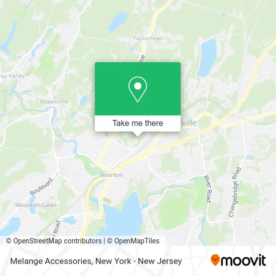
See Melange Accessories, Boonton, on the map
Public Transit to Melange Accessories in Boonton
Wondering how to get to Melange Accessories in Boonton? Moovit helps you find the best way to get to Melange Accessories with step-by-step directions from the nearest public transit station.
Moovit provides free maps and live directions to help you navigate through your city. View schedules, routes, timetables, and find out how long does it take to get to Melange Accessories in real time.
Looking for the nearest stop or station to Melange Accessories? Check out this list of stops closest to your destination: Boonton; Myrtle Ave at Vreeland Ave#.
Bus: 871.Train: ML.
Want to see if there’s another route that gets you there at an earlier time? Moovit helps you find alternative routes or times. Get directions from and directions to Melange Accessories easily from the Moovit App or Website.
We make riding to Melange Accessories easy, which is why over 1.5 million users, including users in Boonton, trust Moovit as the best app for public transit. You don’t need to download an individual bus app or train app, Moovit is your all-in-one transit app that helps you find the best bus time or train time available.
For information on prices of bus and train, costs and ride fares to Melange Accessories, please check the Moovit app.
Use the app to navigate to popular places including to the airport, hospital, stadium, grocery store, mall, coffee shop, school, college, and university.
Melange Accessories Address: 1 Avalon Way Boonton, NJ 07005 street in Boonton
- Terapia.Amarme,
- The Arena Inc.,
- The Embroidery Guy,
- Dauphin Americas,
- Download Center,
- Varsity Stitch,
- Soda Pop Supplies,
- Service Solutions Of NJ,
- Servpro Of East Central Morris County,
- American Paving Co,
- Sal V's Auto Services,
- Day Two Automotive Llc,
- Dante's Pizzeria Boonton NJ,
- Sytheon Ltd.,
- Woks Chinese,
- Always Be Pushing,
- Boonton Dry Cleaning and Laundromat,
- Ozzie's Pizza & Grill,
- Sweat Fitness Club,
- STARBUCKS
Places Near Melange Accessories (Boonton)
- 1 Police Plaza, Manhattan,
- SoHo, Manhattan,
- Times Square, Manhattan,
- Queens Center Mall, Queens,
- Katz's Deli, Manhattan,
- Mountainside Hospital, Glen Ridge,
- Pier 83, Manhattan,
- 376 Hudson Street, Manhattan,
- San Gennaro Feast, Manhattan,
- Wall Street, Manhattan,
- Chinatown, Manhattan,
- Hudson Yards, Manhattan,
- 66 John Street, Manhattan,
- Rockefeller Center, Manhattan,
- Bellevue Hospital, Manhattan,
- 111 Centre New York City Supreme Court, Manhattan,
- 3 Stone St, Manhattan,
- qqqq, Manhattan,
- 911 Memorial, Manhattan,
- 26 Federal Plaza, Manhattan
How to get to popular places in New York - New Jersey with public transit
Get around Boonton by public transit!
Traveling around Boonton has never been so easy. See step by step directions as you travel to any attraction, street or major public transit station. View bus and train schedules, arrival times, service alerts and detailed routes on a map, so you know exactly how to get to anywhere in Boonton.
When traveling to any destination around Boonton use Moovit's Live Directions with Get Off Notifications to know exactly where and how far to walk, how long to wait for your line, and how many stops are left. Moovit will alert you when it's time to get off — no need to constantly re-check whether yours is the next stop.
Wondering how to use public transit in Boonton or how to pay for public transit in Boonton? Moovit public transit app can help you navigate your way with public transit easily, and at minimum cost. It includes public transit fees, ticket prices, and costs. Looking for a map of Boonton public transit lines? Moovit public transit app shows all public transit maps in Boonton with all Bus, Train, Subway, Light Rail, Ferry and Cable Car routes and stops on an interactive map.
New York - New Jersey has 6 transit type(s), including: Bus, Train, Subway, Light Rail, Ferry and Cable Car, operated by several transit agencies, including MTA Subway, Metro-North Railroad, LIRR, PATH, MTA New York City Transit - Express routes, MTA Bus, NJ Transit, NYC Ferry, NICE bus, Bee-Line Bus, NJ Transit Rail, Norwalk Transit District, Hartford Line, River Valley Transit and HART