How to get to Merchants Walk One by bus?
Click on the bus route to see step by step directions with maps, line arrival times and updated time schedules.
Bus stops near Merchants Walk One in Newport News
Bus lines to Merchants Walk One in Newport News
What are the closest stations to Merchants Walk One?
The closest stations to Merchants Walk One are:
- Omni & Rock Landing is 118 yards away, 3 min walk.
- Jefferson & Kingsway is 549 yards away, 7 min walk.
Which bus lines stop near Merchants Walk One?
These bus lines stop near Merchants Walk One: 108, 112.
What’s the nearest bus station to Merchants Walk One in Newport News?
The nearest bus station to Merchants Walk One in Newport News is Omni & Rock Landing. It’s a 3 min walk away.
What time is the first bus to Merchants Walk One in Newport News?
The 108 is the first bus that goes to Merchants Walk One in Newport News. It stops nearby at 5:17 AM.
What time is the last bus to Merchants Walk One in Newport News?
The 112 is the last bus that goes to Merchants Walk One in Newport News. It stops nearby at 12:58 AM.
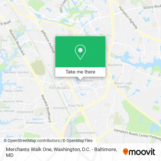
See Merchants Walk One, Newport News, on the map
Public Transit to Merchants Walk One in Newport News
Wondering how to get to Merchants Walk One in Newport News? Moovit helps you find the best way to get to Merchants Walk One with step-by-step directions from the nearest public transit station.
Moovit provides free maps and live directions to help you navigate through your city. View schedules, routes, timetables, and find out how long does it take to get to Merchants Walk One in real time.
Looking for the nearest stop or station to Merchants Walk One? Check out this list of stops closest to your destination: Omni & Rock Landing; Jefferson & Kingsway.
Bus: 108, 112, 111, 414.
Want to see if there’s another route that gets you there at an earlier time? Moovit helps you find alternative routes or times. Get directions from and directions to Merchants Walk One easily from the Moovit App or Website.
We make riding to Merchants Walk One easy, which is why over 1.5 million users, including users in Newport News, trust Moovit as the best app for public transit. You don’t need to download an individual bus app or train app, Moovit is your all-in-one transit app that helps you find the best bus time or train time available.
For information on prices of bus and train, costs and ride fares to Merchants Walk One, please check the Moovit app.
Use the app to navigate to popular places including to the airport, hospital, stadium, grocery store, mall, coffee shop, school, college, and university.
Merchants Walk One Address: 11870 Merchants Walk Newport News, VA 23606 street in Newport News
- Whitman Requardt & Associates,
- Dept of Labor,
- 911 Restoration of Virginia Peninsula,
- Landlord Account,
- Land of Lapis,
- Kotarides Builders,
- Culinary Institute of Virginia,
- Rose & Womble Realty,
- Williams Mullen,
- Coffee Green Beans,
- ATM,
- Usi Insurance,
- Attorney US,
- Authentic Jewelry for Authentic People,
- State & Local Government,
- Social Security,
- Fountain Plaza Cafe,
- Centura 715,
- FedEx,
- Hl Development Service Group
Places Near Merchants Walk One (Newport News)
- Sibley Memorial Hospital, Washington,
- Camden Yards, Baltimore,
- Amazon Hq2, Arlington County,
- M&T Bank Stadium, Baltimore,
- Marriott Marquis Washington, DC, Washington,
- Museum Of The Bible, Washington,
- Warner Theatre, Washington,
- Washington DC VA Medical Center, Washington,
- Westfield Montgomery Mall, Montgomery County,
- Pennsylvania Ave NW (3rd st and pennsylvania), Washington,
- Basilica of the National Shrine, Washington,
- National Zoo, Washington,
- PG Mall, Prince George's County,
- Washington National Cathedral, Washington,
- Capital One Arena, Washington,
- National Mall, Washington,
- National Museum of African American History and Culture, Washington,
- The Anthem, Washington,
- Rock Creek Tennis Center, Washington,
- Georgetown, Washington
How to get to popular places in Washington, D.C. - Baltimore, MD with public transit
Get around Newport News by public transit!
Traveling around Newport News has never been so easy. See step by step directions as you travel to any attraction, street or major public transit station. View bus and train schedules, arrival times, service alerts and detailed routes on a map, so you know exactly how to get to anywhere in Newport News.
When traveling to any destination around Newport News use Moovit's Live Directions with Get Off Notifications to know exactly where and how far to walk, how long to wait for your line, and how many stops are left. Moovit will alert you when it's time to get off — no need to constantly re-check whether yours is the next stop.
Wondering how to use public transit in Newport News or how to pay for public transit in Newport News? Moovit public transit app can help you navigate your way with public transit easily, and at minimum cost. It includes public transit fees, ticket prices, and costs. Looking for a map of Newport News public transit lines? Moovit public transit app shows all public transit maps in Newport News with all Bus, Train, Metro, Light Rail and Ferry routes and stops on an interactive map.
Washington, D.C. - Baltimore, MD has 5 transit type(s), including: Bus, Train, Metro, Light Rail and Ferry, operated by several transit agencies, including WMATA, Montgomery County Ride On, Fairfax Connector, TheBus, PRTC, DASH - Alexandria, Arlington Transit (ART), RTA of Central Maryland, MDOT MTA, MDOT MTA Light RailLink, MDOT MTA Commuter Bus, MDOT MTA Local Bus, FXBGO!, Virginia Railway Express (VRE) and MARC