Directions to Metro Engines (Chesterfield County) with public transportation
The following transit lines have routes that pass near Metro Engines
 Bus: 3B.
How to get to Metro Engines by bus?
Click on the bus route to see step by step directions with maps, line arrival times and updated time schedules.
Bus stop near Metro Engines in Chesterfield County
- Route 1 & Dgsc Bellwood Sb, 14 min walk,VIEW
Bus lines to Metro Engines in Chesterfield County
- 3B, U.S. 1/Food Lion,VIEW
What are the closest stations to Metro Engines?
The closest stations to Metro Engines are:
- Route 1 & Dgsc Bellwood Sb is 1163 yards away, 14 min walk.
Which bus line stops near Metro Engines?
3B (U.S. 1/Brightpoint)
What’s the nearest bus station to Metro Engines in Chesterfield County?
The nearest bus station to Metro Engines in Chesterfield County is Route 1 & Dgsc Bellwood Sb. It’s a 14 min walk away.
What time is the first bus to Metro Engines in Chesterfield County?
The 3B is the first bus that goes to Metro Engines in Chesterfield County. It stops nearby at 5:22 AM.
What time is the last bus to Metro Engines in Chesterfield County?
The 3B is the last bus that goes to Metro Engines in Chesterfield County. It stops nearby at 8:17 PM.
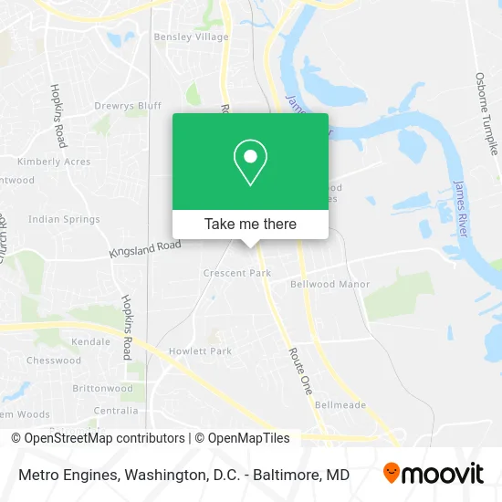
See Metro Engines, Chesterfield County, on the map
Public Transit to Metro Engines in Chesterfield County
Wondering how to get to Metro Engines in Chesterfield County? Moovit helps you find the best way to get to Metro Engines with step-by-step directions from the nearest public transit station.
Moovit provides free maps and live directions to help you navigate through your city. View schedules, routes, timetables, and find out how long does it take to get to Metro Engines in real time.
Looking for the nearest stop or station to Metro Engines? Check out this list of stops closest to your destination: Route 1 & Dgsc Bellwood Sb.
Bus: 3B.
Want to see if there’s another route that gets you there at an earlier time? Moovit helps you find alternative routes or times. Get directions from and directions to Metro Engines easily from the Moovit App or Website.
We make riding to Metro Engines easy, which is why over 1.5 million users, including users in Chesterfield County, trust Moovit as the best app for public transit. You don’t need to download an individual bus app or train app, Moovit is your all-in-one transit app that helps you find the best bus time or train time available.
For information on prices of bus, costs and ride fares to Metro Engines, please check the Moovit app.
Use the app to navigate to popular places including to the airport, hospital, stadium, grocery store, mall, coffee shop, school, college, and university.
Metro Engines Address: 8808 Metro Ct Richmond, VA 23237 street in Chesterfield County
- Kennley,
- A Place of Miracles Cafe,
- Willis Road,
- Sweetie Boy Repair,
- Hayes Performance Brake and Muffler,
- Commercial Electric,
- Pro Street Cycles Rva,
- Grace Alive Ministries,
- Sabor Latino,
- Perrymont Middle School,
- Kingsland Baptist Church,
- Iglesia Bautista Nueva Esperanza,
- Valentino Italian Restaurant,
- Kingsland Baptist Church Family Life Center,
- Quinto Sol Mexican Grill,
- Don Pedro's,
- Kingsland Christian School,
- Martha Kay Motel,
- Daniel Green Painting & Power Washing,
- Millenium Automotive Service
Places Near Metro Engines (Chesterfield County)
- M&T Bank Stadium, Baltimore,
- Westfield Montgomery Mall, Montgomery County,
- National Theatre, Washington,
- Rock Creek Tennis Center, Washington,
- Washington National Cathedral, Washington,
- The Anthem, Washington,
- National Zoo, Washington,
- Georgetown, Washington,
- Amazon Hq2, Arlington County,
- Warner Theatre, Washington,
- Washington DC VA Medical Center, Washington,
- Capital One Arena, Washington,
- Museum Of The Bible, Washington,
- Pennsylvania Ave NW (3rd st and pennsylvania), Washington,
- PG Mall, Prince George's County,
- Sibley Memorial Hospital, Washington,
- Camden Yards, Baltimore,
- National Museum of African American History and Culture, Washington,
- Marriott Marquis Washington, DC, Washington,
- Basilica of the National Shrine, Washington
How to get to popular places in Washington, D.C. - Baltimore, MD with public transit
Get around Chesterfield County by public transit!
Traveling around Chesterfield County has never been so easy. See step by step directions as you travel to any attraction, street or major public transit station. View bus and train schedules, arrival times, service alerts and detailed routes on a map, so you know exactly how to get to anywhere in Chesterfield County.
When traveling to any destination around Chesterfield County use Moovit's Live Directions with Get Off Notifications to know exactly where and how far to walk, how long to wait for your line, and how many stops are left. Moovit will alert you when it's time to get off — no need to constantly re-check whether yours is the next stop.
Wondering how to use public transit in Chesterfield County or how to pay for public transit in Chesterfield County? Moovit public transit app can help you navigate your way with public transit easily, and at minimum cost. It includes public transit fees, ticket prices, and costs. Looking for a map of Chesterfield County public transit lines? Moovit public transit app shows all public transit maps in Chesterfield County with all Bus, Train, Metro, Light Rail and Ferry routes and stops on an interactive map.
Washington, D.C. - Baltimore, MD has 5 transit type(s), including: Bus, Train, Metro, Light Rail and Ferry, operated by several transit agencies, including WMATA, Montgomery County Ride On, Fairfax Connector, TheBus, PRTC, DASH - Alexandria, Arlington Transit (ART), RTA of Central Maryland, MDOT MTA, MDOT MTA Light RailLink, MDOT MTA Commuter Bus, MDOT MTA Local Bus, FXBGO!, Virginia Railway Express (VRE) and MARC