Metropolitan-Lewis stop - Tuesday schedule
| Line | Direction | Time |
|---|---|---|
| 47 | Fullerton Transportation Center | 4:46 AM |
| 47 | Fullerton Transportation Center | 5:06 AM |
| 47 | Fullerton Transportation Center | 5:23 AM |
| 47 | Fullerton Transportation Center | 5:45 AM |
| 47 | Fullerton Transportation Center | 6:05 AM |
| 47 | Fullerton Transportation Center | 6:20 AM |
| 47 | Fullerton Transportation Center | 6:40 AM |
| 47 | Fullerton Transportation Center | 6:56 AM |
| 47 | Fullerton Transportation Center | 7:05 AM |
| 47 | Fullerton Transportation Center | 7:26 AM |
| 47 | Fullerton Transportation Center | 7:47 AM |
| 47 | Fullerton Transportation Center | 8:08 AM |
| 47 | Fullerton Transportation Center | 8:24 AM |
| 47 | Fullerton Transportation Center | 8:40 AM |
| 47 | Fullerton Transportation Center | 8:56 AM |
| 47 | Fullerton Transportation Center | 9:12 AM |
| 47 | Fullerton Transportation Center | 9:30 AM |
| 47 | Fullerton Transportation Center | 9:46 AM |
| 47 | Fullerton Transportation Center | 10:02 AM |
| 47 | Fullerton Transportation Center | 10:16 AM |
| 47 | Fullerton Transportation Center | 10:30 AM |
| 47 | Fullerton Transportation Center | 10:43 AM |
| 47 | Fullerton Transportation Center | 10:56 AM |
| 47 | Fullerton Transportation Center | 11:11 AM |
| 47 | Fullerton Transportation Center | 11:27 AM |
Directions to Metropolitan-Lewis stop (Orange) with public transit
The following transit lines have routes that pass near Metropolitan-Lewis
 Bus: 47, 56, 54, 57.
- Train: OC LINE, PACIFIC SURFLINER, IE-OC LINE.
How to get to Metropolitan-Lewis stop by bus?
Click on the bus route to see step by step directions with maps, line arrival times and updated time schedules.
How to get to Metropolitan-Lewis stop by train?
Click on the train route to see step by step directions with maps, line arrival times and updated time schedules.
Bus stops near Metropolitan-Lewis stop in Orange
- Metropolitan-Ent 4000 ITT Technical Institutes, 4 min walk,
- Garden Grove-Lewis, 12 min walk,
- Chapman-Lewis, 14 min walk,
- The City-Steiner Way, 14 min walk,
Train stations near Metropolitan-Lewis station in Orange
- Anaheim-Artic Metrolink Station, 37 min walk,
- Orange Metrolink Station, 57 min walk,
Bus lines to Metropolitan-Lewis stop in Orange
- 47, Fullerton Transportation Center,
- 56, Garden Grove - Belgrave and Valley View,
- 54, Orange - Chapman and Rancho Santiago,
- 57, Costa Mesa - Bristol and Sunflower,
What are the closest stations to Metropolitan-Lewis?
The closest stations to Metropolitan-Lewis are:
- Metropolitan-Ent 4000 ITT Technical Institutes is 253 yards away, 4 min walk.
- Garden Grove-Lewis is 1006 yards away, 12 min walk.
- Chapman-Lewis is 1107 yards away, 14 min walk.
- The City-Steiner Way is 1128 yards away, 14 min walk.
- Anaheim-Artic Metrolink Station is 3140 yards away, 37 min walk.
- Orange Metrolink Station is 4817 yards away, 57 min walk.
Which bus line stops near Metropolitan-Lewis?
47 (Newport Beach - Balboa and 23rd)
Which train lines stop near Metropolitan-Lewis?
These train lines stop near Metropolitan-Lewis: OC LINE, PACIFIC SURFLINER.
What’s the nearest bus station to Metropolitan-Lewis in Orange?
The nearest bus station to Metropolitan-Lewis in Orange is Metropolitan-Ent 4000 ITT Technical Institutes. It’s a 4 min walk away.
What time is the first train to Metropolitan-Lewis in Orange?
The IE-OC LINE is the first train that goes to Metropolitan-Lewis in Orange. It stops nearby at 5:03 AM.
What time is the last train to Metropolitan-Lewis in Orange?
The PACIFIC SURFLINER is the last train that goes to Metropolitan-Lewis in Orange. It stops nearby at 11:10 PM.
What time is the first bus to Metropolitan-Lewis in Orange?
The 57 is the first bus that goes to Metropolitan-Lewis in Orange. It stops nearby at 4:32 AM.
What time is the last bus to Metropolitan-Lewis in Orange?
The 57 is the last bus that goes to Metropolitan-Lewis in Orange. It stops nearby at 1:04 AM.
Metropolitan-Lewis station
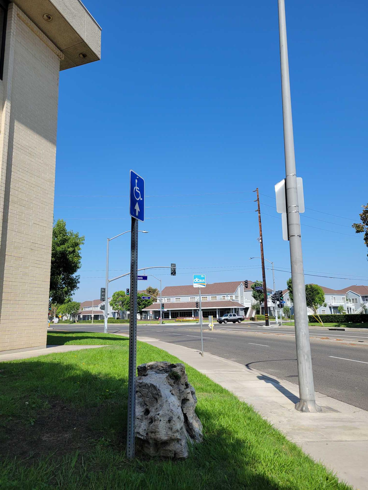 Taken by Anonymous
See Metropolitan-Lewis stop, Orange, on the map
Public transit to Metropolitan-Lewis stop (ID: 5542) in Orange
Looking for directions to Metropolitan-Lewis in Orange, United States?
Download the Moovit App to find the current schedule and step-by-step directions for Bus or Train routes that pass through Metropolitan-Lewis.
Looking for the nearest stops closest to Metropolitan-Lewis ? Check out this list of closest stops to your destination: Metropolitan-Ent 4000 ITT Technical Institutes; Garden Grove-Lewis; Chapman-Lewis; The City-Steiner Way; Anaheim-Artic Metrolink Station; Orange Metrolink Station.
Bus: 47, 56, 54, 57.Train: OC LINE, PACIFIC SURFLINER, IE-OC LINE.
We make riding on public transit to Metropolitan-Lewis easy, which is why over 1.5 million users, including users in Orange trust Moovit as the best app for public transit.
Use the app to navigate to popular places including to the airport, hospital, stadium, grocery store, mall, coffee shop, school, college, and university.
Metropolitan-Lewis stop’s code is 5542
The first line to this stop is 47, at 4:46 AM, and the last line is 47 at 11:22 PM.
4050 W Metropolitan Dr, Orange, CA, USA
This stop serves OCTA’s lines
- Metropolitan-Ent 4000 ITT Technical Institutes,
- Garden Grove-Lewis,
- Chapman-Lewis,
- The City-Steiner Way
Bus stops near Metropolitan-Lewis stop
- Anaheim-Artic Metrolink Station,
- Orange Metrolink Station
Train stations near Metropolitan-Lewis station
- Sunset / Figueroa,
- Van Ness / Slauson,
- Tampa / Nordhoff,
- Herbert Ave & Whittier Blvd (4354),
- Badillo St and Citrus Ave,
- Figueroa / 3rd,
- Adams / Normandie,
- Venice / Cochran,
- 1st / Broadway,
- Aviation/Imperial,
- Wilmington / Greenleaf,
- 1st St & Spring St,
- Indiana St & Olympic Blvd,
- Rinaldi / Laurel Canyon,
- Hayvenhurst Ave & Magnolia Blvd (Southbound),
- Venice / Arlington,
- Montebello Metrolink Station,
- Hollywood / Bronson,
- Cudahy & California,
- Manchester / LA Cienega
Popular public transit stations in Orange
Get around Orange by public transit!
Traveling around Orange has never been so easy. See step by step directions as you travel to any attraction, street or major public transit station. View bus and train schedules, arrival times, service alerts and detailed routes on a map, so you know exactly how to get to anywhere in Orange.
When traveling to any destination around Orange use Moovit's Live Directions with Get Off Notifications to know exactly where and how far to walk, how long to wait for your line, and how many stops are left. Moovit will alert you when it's time to get off — no need to constantly re-check whether yours is the next stop.
Wondering how to use public transit in Orange or how to pay for public transit in Orange? Moovit public transit app can help you navigate your way with public transit easily, and at minimum cost. It includes public transit fees, ticket prices, and costs. Looking for a map of Orange public transit lines? Moovit public transit app shows all public transit maps in Orange with all Bus, Train, Subway, Ferry and Funicular routes and stops on an interactive map.
Los Angeles has 5 transit type(s), including: Bus, Train, Subway, Ferry and Funicular, operated by several transit agencies, including Metro, Alhambra Community Transit, Arcadia Transit, Artesia Transit, AVTA, Baldwin Park Transit, Beach Cities Transit, Beaumont Transit, Bell Gardens Town Trolley, Bellflower Bus, Big Blue Bus, Burbank Bus, Calabasas Trolley, Camarillo Area Transit and Carson Circuit