How to get to Mickey Mini Miracles Academy by bus?
Click on the bus route to see step by step directions with maps, line arrival times and updated time schedules.
From Omega Maintenance Services, Miramar-Pembroke Pines
53 minFrom S/120 Bus Stop, Miami Beach
66 minFrom Joe Dimaggio Children's Hospital, Hollywood
32 minFrom City of Sunny Isles Beach, Miami Beach
58 minFrom Publix (Publix Super Markets), Miami
60 minFrom Hampton Inn Hallandale Beach Aventura Hollywood, Hallandale Beach
59 minFrom Brandsmart USA - Clearance Center, Fl, Davie
42 minFrom The Haul - Haulover Naturist Beach (Lifeguard Tower #14), Miami Beach
66 minFrom Haulover Beach, Miami Beach
67 minFrom Dania Pointe, Hollywood
69 min
Bus stops near Mickey Mini Miracles Academy in Miami
Bus lines to Mickey Mini Miracles Academy in Miami
What are the closest stations to Mickey Mini Miracles Academy?
The closest stations to Mickey Mini Miracles Academy are:
- Nw 215 St & Op Bc 59 Te is 117 yards away, 3 min walk.
- US 441/Northwest 215th Street - (County Line Road) is 185 yards away, 3 min walk.
Which bus lines stop near Mickey Mini Miracles Academy?
These bus lines stop near Mickey Mini Miracles Academy: 18, 199, 441.
What’s the nearest bus station to Mickey Mini Miracles Academy in Miami?
The nearest bus stations to Mickey Mini Miracles Academy in Miami are Nw 215 St & Op Bc 59 Te and US 441/Northwest 215th Street - (County Line Road). The closest one is a 3 min walk away.
What time is the first bus to Mickey Mini Miracles Academy in Miami?
The 441 is the first bus that goes to Mickey Mini Miracles Academy in Miami. It stops nearby at 5:04 AM.
What time is the last bus to Mickey Mini Miracles Academy in Miami?
The 18 is the last bus that goes to Mickey Mini Miracles Academy in Miami. It stops nearby at 12:46 AM.
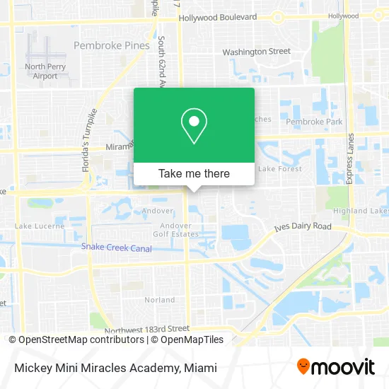
See Mickey Mini Miracles Academy, Miami, on the map
Public Transit to Mickey Mini Miracles Academy in Miami
Wondering how to get to Mickey Mini Miracles Academy in Miami? Moovit helps you find the best way to get to Mickey Mini Miracles Academy with step-by-step directions from the nearest public transit station.
Moovit provides free maps and live directions to help you navigate through your city. View schedules, routes, timetables, and find out how long does it take to get to Mickey Mini Miracles Academy in real time.
Looking for the nearest stop or station to Mickey Mini Miracles Academy? Check out this list of stops closest to your destination: Nw 215 St & Op Bc 59 Te; US 441/Northwest 215th Street - (County Line Road).
Bus: 18, 199, 441.
Want to see if there’s another route that gets you there at an earlier time? Moovit helps you find alternative routes or times. Get directions from and directions to Mickey Mini Miracles Academy easily from the Moovit App or Website.
We make riding to Mickey Mini Miracles Academy easy, which is why over 1.5 million users, including users in Miami, trust Moovit as the best app for public transit. You don’t need to download an individual bus app or train app, Moovit is your all-in-one transit app that helps you find the best bus time or train time available.
For information on prices of bus, costs and ride fares to Mickey Mini Miracles Academy, please check the Moovit app.
Use the app to navigate to popular places including to the airport, hospital, stadium, grocery store, mall, coffee shop, school, college, and university.
Mickey Mini Miracles Academy Address: 21343 NW 2nd Ave Miami, FL 33169 street in Miami
- Prestige Restaurant & Bakery,
- R&B Dance School,
- Super Walls Services,
- Golden Wealth Barber Shop,
- WING STOP,
- Amazon Locker-Agou,
- Somar Multiservices,
- Koralee's Hair Design,
- County Line Rd / NW 215th St,
- Star Nails & Spa,
- A and R Autobody,
- Ysha's Frozen Yogurt,
- Davita Dialysis Center,
- County Line Rd / US-441,
- Byte Tech,
- SUBARU of North Miami,
- HYUNDAI OF NORTH MIAMI,
- GENESIS OF NORTH MIAMI,
- Lehman Xpress,
- Lehman MITSUBISHI
Places Near Mickey Mini Miracles Academy (Miami)
- Bayside Marketplace, Miami,
- Dolphin Mall, Miami,
- Little Havana, Miami,
- Zoo Miami, Miami,
- Dolphin Mall Bus, Miami,
- Miami Freedom Park, Miami,
- Keiser University Flagship Campus, West Palm Beach,
- Sawgrass mall ( FL ), Miami Beach,
- Richard E. Gerstein Justice Building, Miami,
- Aventura Mall, Miami,
- Miami Design District, Miami,
- Hard Rock Stadium, Miami Gardens,
- 1351 NW 12th St, Miami,
- Brickell City Centre, Miami,
- Aventura Mall, Miami Beach,
- Wynwood, Miami,
- Miami-Dade County Courthouse, Miami,
- Marlins Park, Miami,
- Port of Miami Cruise Terminal, Miami,
- Sawgrass Mall, Miami
How to get to popular places in Miami with public transit
Get around Miami by public transit!
Traveling around Miami has never been so easy. See step by step directions as you travel to any attraction, street or major public transit station. View bus and train schedules, arrival times, service alerts and detailed routes on a map, so you know exactly how to get to anywhere in Miami.
When traveling to any destination around Miami use Moovit's Live Directions with Get Off Notifications to know exactly where and how far to walk, how long to wait for your line, and how many stops are left. Moovit will alert you when it's time to get off — no need to constantly re-check whether yours is the next stop.
Wondering how to use public transit in Miami or how to pay for public transit in Miami? Moovit public transit app can help you navigate your way with public transit easily, and at minimum cost. It includes public transit fees, ticket prices, and costs. Looking for a map of Miami public transit lines? Moovit public transit app shows all public transit maps in Miami with all Bus, Train, Light Rail and Ferry routes and stops on an interactive map.
Miami has 4 transit type(s), including: Bus, Train, Light Rail and Ferry, operated by several transit agencies, including Broward County Transit, Miami-Dade Transit, Metrorail, Palm Tran, Tri-Rail, Brightline, MARTY, City of Homestead Trolley, Key West Transit, Treasure Coast Connector, GoLine IRT, Amtrak, Greyhound-us, FlixBus-us and Aventura Express Shuttle Bus