Directions to Midnight Express Auto Recovery (Stafford County) with public transportation
The following transit lines have routes that pass near Midnight Express Auto Recovery
 Bus: ROUTE 20.
- Train: CAROLINIAN, NORTHEAST REGIONAL, SILVER METEOR, FREDERICKSBURG LINE.
How to get to Midnight Express Auto Recovery by bus?
Click on the bus route to see step by step directions with maps, line arrival times and updated time schedules.
From Lorton, VA, Fairfax County
195 minFrom Department of State SA 34, Fairfax County
214 minFrom Rose Gaming Resort, Prince William County
211 minFrom Potomac Mills Mall, Prince William County
186 minFrom Lorton, VA - Amtrak Auto Train Station (LOR), Fairfax County
201 minFrom Woodbridge, VA, Prince William County
130 min
Bus stop near Midnight Express Auto Recovery in Stafford County
- 434 - White Oak Rd. (Walgreens), 11 min walk,VIEW
Train station near Midnight Express Auto Recovery in Stafford County
- Fredericksburg, 54 min walk,VIEW
Bus lines to Midnight Express Auto Recovery in Stafford County
- ROUTE 20, Outbound,VIEW
What are the closest stations to Midnight Express Auto Recovery?
The closest stations to Midnight Express Auto Recovery are:
- 434 - White Oak Rd. (Walgreens) is 906 yards away, 11 min walk.
- Fredericksburg is 4627 yards away, 54 min walk.
Which bus line stops near Midnight Express Auto Recovery?
ROUTE 20 (Outbound)
What’s the nearest bus station to Midnight Express Auto Recovery in Stafford County?
The nearest bus station to Midnight Express Auto Recovery in Stafford County is 434 - White Oak Rd. (Walgreens). It’s a 11 min walk away.
What time is the first train to Midnight Express Auto Recovery in Stafford County?
The SILVER METEOR is the first train that goes to Midnight Express Auto Recovery in Stafford County. It stops nearby at 4:49 AM.
What time is the last train to Midnight Express Auto Recovery in Stafford County?
The SILVER METEOR is the last train that goes to Midnight Express Auto Recovery in Stafford County. It stops nearby at 4:49 AM.
What time is the first bus to Midnight Express Auto Recovery in Stafford County?
The ROUTE 20 is the first bus that goes to Midnight Express Auto Recovery in Stafford County. It stops nearby at 8:21 AM.
What time is the last bus to Midnight Express Auto Recovery in Stafford County?
The ROUTE 20 is the last bus that goes to Midnight Express Auto Recovery in Stafford County. It stops nearby at 4:44 PM.
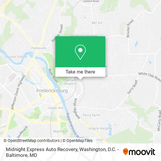
See Midnight Express Auto Recovery, Stafford County, on the map
Public Transit to Midnight Express Auto Recovery in Stafford County
Wondering how to get to Midnight Express Auto Recovery in Stafford County? Moovit helps you find the best way to get to Midnight Express Auto Recovery with step-by-step directions from the nearest public transit station.
Moovit provides free maps and live directions to help you navigate through your city. View schedules, routes, timetables, and find out how long does it take to get to Midnight Express Auto Recovery in real time.
Looking for the nearest stop or station to Midnight Express Auto Recovery? Check out this list of stops closest to your destination: 434 - White Oak Rd. (Walgreens); Fredericksburg.
Bus: ROUTE 20.Train: CAROLINIAN, NORTHEAST REGIONAL, SILVER METEOR, FREDERICKSBURG LINE.
Want to see if there’s another route that gets you there at an earlier time? Moovit helps you find alternative routes or times. Get directions from and directions to Midnight Express Auto Recovery easily from the Moovit App or Website.
We make riding to Midnight Express Auto Recovery easy, which is why over 1.5 million users, including users in Stafford County, trust Moovit as the best app for public transit. You don’t need to download an individual bus app or train app, Moovit is your all-in-one transit app that helps you find the best bus time or train time available.
For information on prices of bus and train, costs and ride fares to Midnight Express Auto Recovery, please check the Moovit app.
Use the app to navigate to popular places including to the airport, hospital, stadium, grocery store, mall, coffee shop, school, college, and university.
Midnight Express Auto Recovery Address: 47 Cool Spring Rd Fredericksburg, VA 22405 street in Stafford County
- Capitol Building Supply,
- F O E,
- Milby Co.,
- Renegade Combat Sports Club,
- Solid Garage Floor Coatings,
- Cub Scout Pack 4123- Fredericksburg, VA,
- Top Asphalt,
- Fredericksburg Deck Builders,
- Ministerio de Restauracion Torre Fuerte,
- Remodeling with J&Y,
- John Mills Roofing,
- The Fredericksburg Area Sickle Cell Association,
- Fairfax Electric Plumbing & Gas,
- John Wayne Edwards, Artist,
- Yale Realty & Capital Advisors,
- Goodwin & Smith Financial Services,
- Leiteandsurfer,
- Fredericksburg Auto Repair,
- Creative Signs,
- Prestige Auto Service
Places Near Midnight Express Auto Recovery (Stafford County)
- Pennsylvania Ave NW (3rd st and pennsylvania), Washington,
- Capital One Arena, Washington,
- Basilica of the National Shrine, Washington,
- Museum Of The Bible, Washington,
- Camden Yards, Baltimore,
- Washington DC VA Medical Center, Washington,
- National Zoo, Washington,
- Rock Creek Tennis Center, Washington,
- Warner Theatre, Washington,
- Sibley Memorial Hospital, Washington,
- Westfield Montgomery Mall, Montgomery County,
- Washington National Cathedral, Washington,
- M&T Bank Stadium, Baltimore,
- The Anthem, Washington,
- Marriott Marquis Washington, DC, Washington,
- PG Mall, Prince George's County,
- National Museum of African American History and Culture, Washington,
- Georgetown, Washington,
- Amazon Hq2, Arlington County,
- National Mall, Washington
How to get to popular places in Washington, D.C. - Baltimore, MD with public transit
Get around Stafford County by public transit!
Traveling around Stafford County has never been so easy. See step by step directions as you travel to any attraction, street or major public transit station. View bus and train schedules, arrival times, service alerts and detailed routes on a map, so you know exactly how to get to anywhere in Stafford County.
When traveling to any destination around Stafford County use Moovit's Live Directions with Get Off Notifications to know exactly where and how far to walk, how long to wait for your line, and how many stops are left. Moovit will alert you when it's time to get off — no need to constantly re-check whether yours is the next stop.
Wondering how to use public transit in Stafford County or how to pay for public transit in Stafford County? Moovit public transit app can help you navigate your way with public transit easily, and at minimum cost. It includes public transit fees, ticket prices, and costs. Looking for a map of Stafford County public transit lines? Moovit public transit app shows all public transit maps in Stafford County with all Bus, Train, Metro, Light Rail and Ferry routes and stops on an interactive map.
Washington, D.C. - Baltimore, MD has 5 transit type(s), including: Bus, Train, Metro, Light Rail and Ferry, operated by several transit agencies, including WMATA, Montgomery County Ride On, Fairfax Connector, TheBus, PRTC, DASH - Alexandria, Arlington Transit (ART), RTA of Central Maryland, MDOT MTA, MDOT MTA Light RailLink, MDOT MTA Commuter Bus, MDOT MTA Local Bus, FXBGO!, Virginia Railway Express (VRE) and MARC