How to get to Milky Way Complex by bus?
Click on the bus route to see step by step directions with maps, line arrival times and updated time schedules.
From Brothers Auto Parts (Brothers Auto Salvage), Indianapolis City (Balance)
80 minFrom Heartland Outdoors, Indianapolis City (Balance)
50 minFrom Dr Andrea Cmejla, Od, Indianapolis City (Balance)
37 minFrom Reetu Bachhawat, Indianapolis City (Balance)
36 minFrom Circle City Property Maintenance, Indianapolis City (Balance)
84 minFrom CVS, Indianapolis City (Balance)
83 minFrom Carrillo's Used Appliances, Indianapolis City (Balance)
45 minFrom 1041 N Goodlet Ave, Indianapolis City (Balance)
54 minFrom Shadeland Ave & 82nd St, Indianapolis City (Balance)
41 minFrom Cozysuites at Bottleworks District, Indianapolis City (Balance)
37 min
Bus stops near Milky Way Complex in Indianapolis City (Balance)
Bus lines to Milky Way Complex in Indianapolis City (Balance)
What are the closest stations to Milky Way Complex?
The closest stations to Milky Way Complex are:
- Keystone Ave & Millersville Rd is 34 yards away, 1 min walk.
- Meadows Dr & 38th St is 664 yards away, 8 min walk.
- 38th & Meadows Station Wb is 682 yards away, 8 min walk.
Which bus lines stop near Milky Way Complex?
These bus lines stop near Milky Way Complex: 26, 4, 92.
What’s the nearest bus station to Milky Way Complex in Indianapolis City (Balance)?
The nearest bus station to Milky Way Complex in Indianapolis City (Balance) is Keystone Ave & Millersville Rd. It’s a 1 min walk away.
What time is the first bus to Milky Way Complex in Indianapolis City (Balance)?
The 92 is the first bus that goes to Milky Way Complex in Indianapolis City (Balance). It stops nearby at 4:34 AM.
What time is the last bus to Milky Way Complex in Indianapolis City (Balance)?
The 92 is the last bus that goes to Milky Way Complex in Indianapolis City (Balance). It stops nearby at 12:21 AM.
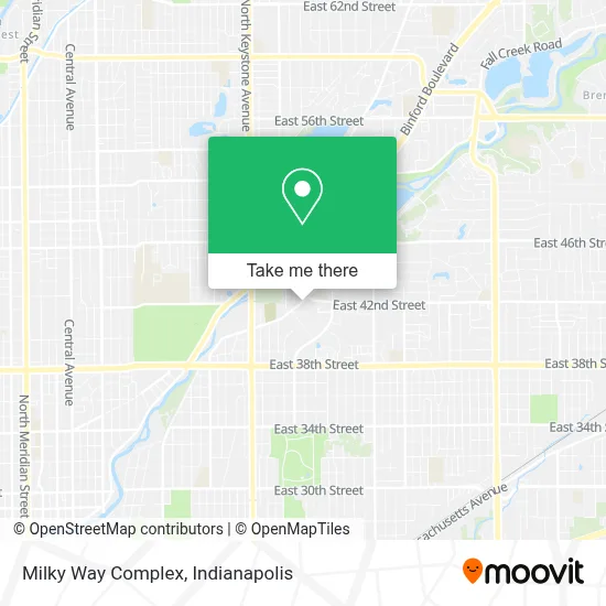
See Milky Way Complex, Indianapolis City (Balance), on the map
Public Transit to Milky Way Complex in Indianapolis City (Balance)
Wondering how to get to Milky Way Complex in Indianapolis City (Balance)? Moovit helps you find the best way to get to Milky Way Complex with step-by-step directions from the nearest public transit station.
Moovit provides free maps and live directions to help you navigate through your city. View schedules, routes, timetables, and find out how long does it take to get to Milky Way Complex in real time.
Looking for the nearest stop or station to Milky Way Complex? Check out this list of stops closest to your destination: Keystone Ave & Millersville Rd; Meadows Dr & 38th St; 38th & Meadows Station Wb.
Bus: 26, 4, 92.
Want to see if there’s another route that gets you there at an earlier time? Moovit helps you find alternative routes or times. Get directions from and directions to Milky Way Complex easily from the Moovit App or Website.
We make riding to Milky Way Complex easy, which is why over 1.5 million users, including users in Indianapolis City (Balance), trust Moovit as the best app for public transit. You don’t need to download an individual bus app or train app, Moovit is your all-in-one transit app that helps you find the best bus time or train time available.
For information on prices of bus, costs and ride fares to Milky Way Complex, please check the Moovit app.
Use the app to navigate to popular places including to the airport, hospital, stadium, grocery store, mall, coffee shop, school, college, and university.
Milky Way Complex Address: 4201 Millersville Rd street in Indianapolis City (Balance)
- Avondale Meadows Academy,
- Avondale Meadows YMCA,
- International Pentecostal Young People's Union (Ipypu) of the P.A.W.,
- Binford Blvd / Allisonville Rd,
- Total Praise And Worship Center,
- Swift Custom Wheels,
- TPWC Indy,
- Masjid al Mumineen Indianapolis,
- Jackson Square Ct,
- 4325 Old Allisonville Rd Parking,
- Angry Cars,
- Health Department,
- The Genius School,
- Tindley Prep Academy,
- 4361 N Keystone Ave Parking,
- Marion County Health Department,
- Affordable Auto Care,
- FedEx,
- King Exotic Smoke Shop,
- Jetson H/Detail Clean
Places Near Milky Way Complex (Indianapolis City (Balance))
- Eskenazi Hospital, Indianapolis City (Balance),
- St. Vincent Hospital - Indianapolis, Indianapolis City (Balance),
- I-465 / I-65 Interchange, Indianapolis City (Balance),
- Gainbridge Fieldhouse, Indianapolis City (Balance),
- Indiana Convention Center, Indianapolis City (Balance),
- Indiana, Indianapolis City (Balance),
- Jersey Barn, Indianapolis City (Balance),
- Train Ride At Castleton Mall, Indianapolis City (Balance),
- Lilly Corporate Center (Eli Lilly & Co), Indianapolis City (Balance),
- Castleton Square Mall, Indianapolis,
- Cotter's Massage Parlor With Happy Endings, Indianapolis City (Balance),
- 119 W 19th St Parking, Indianapolis City (Balance),
- Methodist Hospital of Indianapolis, Indianapolis City (Balance),
- Indianapolis Motor Speedway, Speedway,
- St. Vincent entrance #1, Indianapolis City (Balance),
- Plainfield, IN, Plainfield,
- Indianapolis Airport Zone 2, Indianapolis City (Balance),
- THE BALT, Indianapolis City (Balance),
- Lucas Oil Stadium, Indianapolis City (Balance),
- I U Health Methodist Hospital, Indianapolis City (Balance)
How to get to popular places in Indianapolis with public transit
Get around Indianapolis City (Balance) by public transit!
Traveling around Indianapolis City (Balance) has never been so easy. See step by step directions as you travel to any attraction, street or major public transit station. View bus and train schedules, arrival times, service alerts and detailed routes on a map, so you know exactly how to get to anywhere in Indianapolis City (Balance).
When traveling to any destination around Indianapolis City (Balance) use Moovit's Live Directions with Get Off Notifications to know exactly where and how far to walk, how long to wait for your line, and how many stops are left. Moovit will alert you when it's time to get off — no need to constantly re-check whether yours is the next stop.
Wondering how to use public transit in Indianapolis City (Balance) or how to pay for public transit in Indianapolis City (Balance)? Moovit public transit app can help you navigate your way with public transit easily, and at minimum cost. It includes public transit fees, ticket prices, and costs. Looking for a map of Indianapolis City (Balance) public transit lines? Moovit public transit app shows all public transit maps in Indianapolis City (Balance) with all bus routes and stops on an interactive map.
Indianapolis has 1 transit type(s), including: bus, operated by several transit agencies, including IndyGo, FlixBus-us and Greyhound-us