Directions to Mimo Tech (Wichita) with public transportation
The following transit lines have routes that pass near Mimo Tech
How to get to Mimo Tech by bus?
Click on the bus route to see step by step directions with maps, line arrival times and updated time schedules.
From Bishop Carroll Catholic High School, Wichita
53 minFrom TACO BELL, Wichita
49 minFrom Matt Eck Real Estate, Inc., Wichita
47 minFrom 4 the People Barber Lounge, Wichita
57 minFrom Allstar, Wichita
63 minFrom W Kellogg Dr / S Tyler Rd, Wichita
75 minFrom Chantelle Niles, Wichita
47 minFrom Amani Traders, Wichita
16 min
Bus stops near Mimo Tech in Wichita
Bus lines to Mimo Tech in Wichita
What are the closest stations to Mimo Tech?
The closest stations to Mimo Tech are:
- Harry And Emporia Ob is 487 yards away, 7 min walk.
- Broadway & Funston Ob is 861 yards away, 11 min walk.
Which bus lines stop near Mimo Tech?
These bus lines stop near Mimo Tech: ROUTE22: S BDWY-, ROUTE26: PWNEPLA.
What’s the nearest bus station to Mimo Tech in Wichita?
The nearest bus station to Mimo Tech in Wichita is Harry And Emporia Ob. It’s a 7 min walk away.
What time is the first bus to Mimo Tech in Wichita?
The ROUTE22: S BDWY- is the first bus that goes to Mimo Tech in Wichita. It stops nearby at 5:05 AM.
What time is the last bus to Mimo Tech in Wichita?
The ROUTE22: S BDWY- is the last bus that goes to Mimo Tech in Wichita. It stops nearby at 10:18 PM.
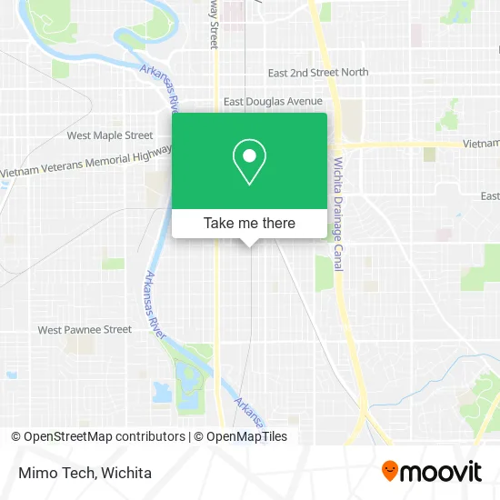
See Mimo Tech, Wichita, on the map
Public Transit to Mimo Tech in Wichita
Wondering how to get to Mimo Tech in Wichita? Moovit helps you find the best way to get to Mimo Tech with step-by-step directions from the nearest public transit station.
Moovit provides free maps and live directions to help you navigate through your city. View schedules, routes, timetables, and find out how long does it take to get to Mimo Tech in real time.
Looking for the nearest stop or station to Mimo Tech? Check out this list of stops closest to your destination: Harry And Emporia Ob; Broadway & Funston Ob.
Bus: ROUTE22: S BDWY-, ROUTE26: PWNEPLA, ROUTE23: PWNEPLA.
Want to see if there’s another route that gets you there at an earlier time? Moovit helps you find alternative routes or times. Get directions from and directions to Mimo Tech easily from the Moovit App or Website.
We make riding to Mimo Tech easy, which is why over 1.5 million users, including users in Wichita, trust Moovit as the best app for public transit. You don’t need to download an individual bus app or train app, Moovit is your all-in-one transit app that helps you find the best bus time or train time available.
For information on prices of bus, costs and ride fares to Mimo Tech, please check the Moovit app.
Use the app to navigate to popular places including to the airport, hospital, stadium, grocery store, mall, coffee shop, school, college, and university.
Mimo Tech Address: 1623 S Mead St Wichita, KS 67211 street in Wichita
- Yealink Network Technology Co.,
- Four Star Tool & D,
- Veroarms,
- Professional Roofing Services,
- Fuller Personalized Plumbing Service,
- WBC Brewery,
- Wichita Rockers,
- Diesel Solutions,
- Tacos Y Gorditas Torres,
- 13 Sinister Souls,
- Wichita Musicians,
- United Steelworkers of America, International Union,
- Paint Savages,
- DP Holding,
- Hi-Tech Controls,
- Grede Foundries,
- Wichita Electronics Service Center,
- Doug's Place,
- U-Haul,
- E Boston St
Places Near Mimo Tech (Wichita)
- Spirit AeroSystems, Bldg 2-280J (Section 9),
- Hubb's glory hole, Wichita,
- Afghan Halal Market, Wichita,
- Lopez Services, Wichita,
- Sena African Hair Braiding LLC, Wichita,
- North High School, Wichita,
- Wichita Dwight D. Eisenhower National Airport (ICT) (Wichita Eisenhower National Airport), Wichita,
- 21st & Maize, Wichita,
- Four Corners Cafe @ Wesley Medical Center, Wichita,
- Towne East Mall, Wichita,
- Ratcliff Auto and Truck Repair, Wichita,
- Spirit Aerosystems,
- McConnell Air Force Base, Mcconnell Afb,
- Total Card Solutions, Wichita,
- Paige Place Apartments, Wichita,
- Ascencion Via Christi Hospital St Francis, Wichita,
- Westside Athletic Field (Friends University Baseball Field), Wichita,
- East 21st Street North and Webb Road, Wichita,
- Bmer Tech Automotive, Wichita,
- Spirit Aerosystems Inc, Building 1-198D
How to get to popular places in Wichita with public transit
Get around Wichita by public transit!
Traveling around Wichita has never been so easy. See step by step directions as you travel to any attraction, street or major public transit station. View bus and train schedules, arrival times, service alerts and detailed routes on a map, so you know exactly how to get to anywhere in Wichita.
When traveling to any destination around Wichita use Moovit's Live Directions with Get Off Notifications to know exactly where and how far to walk, how long to wait for your line, and how many stops are left. Moovit will alert you when it's time to get off — no need to constantly re-check whether yours is the next stop.
Wondering how to use public transit in Wichita or how to pay for public transit in Wichita? Moovit public transit app can help you navigate your way with public transit easily, and at minimum cost. It includes public transit fees, ticket prices, and costs. Looking for a map of Wichita public transit lines? Moovit public transit app shows all public transit maps in Wichita with all bus routes and stops on an interactive map.
Wichita has 1 transit type(s), including: bus, operated by several transit agencies, including Wichita Transit, Greyhound-us and FlixBus-us