How to get to Mini by bus?
Click on the bus route to see step by step directions with maps, line arrival times and updated time schedules.
From Centre Commercial Grand Plaisir, Plaisir
184 minFrom Orgeval, Orgeval
144 minFrom IKEA, Plaisir
196 minFrom Hôpital de Poissy, Poissy
143 minFrom Cergy Préfecture, Cergy
258 minFrom Clinique Sainte Marie, Osny
122 minFrom Les 3 Fontaines, Cergy
259 minFrom Osny, Osny
123 minFrom Chambourcy, Chambourcy
157 minFrom Camp militaire de Frileuse, Beynes
131 min
Bus stops near Mini in Buchelay
Bus lines to Mini in Buchelay
What are the closest stations to Mini?
The closest stations to Mini are:
- Gamelines is 298 meters away, 4 min walk.
- Innovaparc is 616 meters away, 9 min walk.
- Butte Verte is 934 meters away, 13 min walk.
- Général de Gaulle is 1100 meters away, 15 min walk.
- Chemin Des Meuniers is 1173 meters away, 16 min walk.
Which bus lines stop near Mini?
These bus lines stop near Mini: 5401, 5402, 5407, 5414, 7820, SOIR.
What’s the nearest bus station to Mini in Buchelay?
The nearest bus station to Mini in Buchelay is Gamelines. It’s a 4 min walk away.
What time is the first bus to Mini in Buchelay?
The 5402 is the first bus that goes to Mini in Buchelay. It stops nearby at 6:55 AM.
What time is the last bus to Mini in Buchelay?
The 5407 is the last bus that goes to Mini in Buchelay. It stops nearby at 11:41 PM.
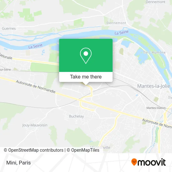
See Mini, Buchelay, on the map
Public Transit to Mini in Buchelay
Wondering how to get to Mini in Buchelay? Moovit helps you find the best way to get to Mini with step-by-step directions from the nearest public transit station.
Moovit provides free maps and live directions to help you navigate through your city. View schedules, routes, timetables, and find out how long does it take to get to Mini in real time.
Looking for the nearest stop or station to Mini? Check out this list of stops closest to your destination: Gamelines; Innovaparc; Butte Verte; Général de Gaulle; Chemin Des Meuniers.
Bus: 5401, 5402, 5407, 5414, 7820, SOIR, 5404, 5403, 5412, 5413, 5421, 5424, 5458, 5463.
Want to see if there’s another route that gets you there at an earlier time? Moovit helps you find alternative routes or times. Get directions from and directions to Mini easily from the Moovit App or Website.
We make riding to Mini easy, which is why over 1.5 million users, including users in Buchelay, trust Moovit as the best app for public transit. You don’t need to download an individual bus app or train app, Moovit is your all-in-one transit app that helps you find the best bus time or train time available.
For information on prices of bus, train and RER, costs and ride fares to Mini, please check the Moovit app.
Use the app to navigate to popular places including to the airport, hospital, stadium, grocery store, mall, coffee shop, school, college, and university.
Mini Address: 1 Avenue de la Garonne 78200 Buchelay street in Buchelay
- Supeco,
- Seoud,
- ZEborne,
- Continental,
- Leroy Merlin,
- Intersport,
- 1 Rue des Gamelines,
- Easycharge,
- ZAC des Closeaux 2000,
- Zone des Closeaux,
- Quick,
- Darty,
- C&a,
- Espace 1 Restauration,
- Stockmark,
- Bureau Vallee Mantes Buchelay,
- Action,
- Continental,
- Mcdonald's,
- Basic-Fit Buchelay Rue des Piquettes
Places Near Mini (Buchelay)
- Hôpital Saint-Joseph, Paris,
- Hôpital Beaujon, Clichy,
- Marché Saint-Pierre, Paris,
- Gare Routière Flixbus, Paris,
- Hôpital Cochin, Paris,
- Atelier Des Lumieres, Paris,
- Hopital Lariboisière, Paris,
- Hopital Foch, Suresnes,
- Théâtre Mogador, Paris,
- Hôpital Henri Mondor, Creteil,
- 29 Rue Manin, Paris,
- Hôpital de la Pitié-Salpêtrière, Paris,
- Galeries Lafayette, Paris,
- Galeries Lafayette Haussmann, Paris,
- Hôpital Necker, Paris,
- Centre Hospitalier des 15/20, Paris,
- Créteil Soleil, Creteil,
- Fondation Louis Vuitton, Paris,
- Hôpital Pitié Salpêtrière, Paris,
- Beaugrenelle, Paris
How to get to popular places in Paris with public transit
Get around Buchelay by public transit!
Traveling around Buchelay has never been so easy. See step by step directions as you travel to any attraction, street or major public transit station. View bus and train schedules, arrival times, service alerts and detailed routes on a map, so you know exactly how to get to anywhere in Buchelay.
When traveling to any destination around Buchelay use Moovit's Live Directions with Get Off Notifications to know exactly where and how far to walk, how long to wait for your line, and how many stops are left. Moovit will alert you when it's time to get off — no need to constantly re-check whether yours is the next stop.
Wondering how to use public transit in Buchelay or how to pay for public transit in Buchelay? Moovit public transit app can help you navigate your way with public transit easily, and at minimum cost. It includes public transit fees, ticket prices, and costs. Looking for a map of Buchelay public transit lines? Moovit public transit app shows all public transit maps in Buchelay with all Bus, Train, Metro, Light Rail, RER, Funicular and Gondola routes and stops on an interactive map.
Paris has 7 transit type(s), including: Bus, Train, Metro, Light Rail, RER, Funicular and Gondola, operated by several transit agencies, including RATP, RER, RER Bus de remplacement, Train, Train Bus de remplacement, Tramway Bus de remplacement, TER, ADP, Magical Shuttle, Argenteuil - Boucles de Seine, Autocars Dominique, Bièvre, Brie et 2 Morin, Le Bus - C.C. du Clermontois and Cœur d’Essonne