Directions to Mini-Circuits (Deer Park) with public transportation
The following transit lines have routes that pass near Mini-Circuits
 Bus: 4, 5.
- Train: RONKONKOMA BRANCH.
How to get to Mini-Circuits by bus?
Click on the bus route to see step by step directions with maps, line arrival times and updated time schedules.
From Hauppauge ny, Hauppauge
53 minFrom Jake's 58 Casino, Islandia
55 minFrom Baxter Pavillion @ Good Sam, West Islip
59 minFrom Westbury, NY, Westbury
148 minFrom East Meadow, NY, East Meadow
96 minFrom Paramount, Huntington
94 minFrom Uniondale, NY, Uniondale
104 minFrom Woodbury Long Island, Woodbury
117 minFrom Roosevelt Field Mall Bus Terminal, East Garden City
135 minFrom Plainview, NY, Plainview
129 min
How to get to Mini-Circuits by train?
Click on the train route to see step by step directions with maps, line arrival times and updated time schedules.
Bus stops near Mini-Circuits in Deer Park
Train station near Mini-Circuits in Deer Park
- Deer Park, 49 min walk,VIEW
What are the closest stations to Mini-Circuits?
The closest stations to Mini-Circuits are:
- S 2nd St/Dunton Ave is 692 yards away, 9 min walk.
- Executive Dr/Long Island Ave is 1334 yards away, 16 min walk.
- Deer Park is 4204 yards away, 49 min walk.
Which bus line stops near Mini-Circuits?
4 (Amityville Rr)
Which train line stops near Mini-Circuits?
RONKONKOMA BRANCH (Ronkonkoma)
What’s the nearest bus station to Mini-Circuits in Deer Park?
The nearest bus station to Mini-Circuits in Deer Park is S 2nd St/Dunton Ave. It’s a 9 min walk away.
What time is the first train to Mini-Circuits in Deer Park?
The RONKONKOMA BRANCH is the first train that goes to Mini-Circuits in Deer Park. It stops nearby at 3:24 AM.
What time is the last train to Mini-Circuits in Deer Park?
The RONKONKOMA BRANCH is the last train that goes to Mini-Circuits in Deer Park. It stops nearby at 3:19 AM.
What time is the first bus to Mini-Circuits in Deer Park?
The 5 is the first bus that goes to Mini-Circuits in Deer Park. It stops nearby at 5:34 AM.
What time is the last bus to Mini-Circuits in Deer Park?
The 5 is the last bus that goes to Mini-Circuits in Deer Park. It stops nearby at 10:27 PM.
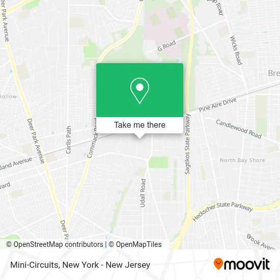
See Mini-Circuits, Deer Park, on the map
Public Transit to Mini-Circuits in Deer Park
Wondering how to get to Mini-Circuits in Deer Park? Moovit helps you find the best way to get to Mini-Circuits with step-by-step directions from the nearest public transit station.
Moovit provides free maps and live directions to help you navigate through your city. View schedules, routes, timetables, and find out how long does it take to get to Mini-Circuits in real time.
Looking for the nearest stop or station to Mini-Circuits? Check out this list of stops closest to your destination: S 2nd St/Dunton Ave; Executive Dr/Long Island Ave; Deer Park.
Bus: 4, 5.Train: RONKONKOMA BRANCH.
Want to see if there’s another route that gets you there at an earlier time? Moovit helps you find alternative routes or times. Get directions from and directions to Mini-Circuits easily from the Moovit App or Website.
We make riding to Mini-Circuits easy, which is why over 1.5 million users, including users in Deer Park, trust Moovit as the best app for public transit. You don’t need to download an individual bus app or train app, Moovit is your all-in-one transit app that helps you find the best bus time or train time available.
For information on prices of bus and train, costs and ride fares to Mini-Circuits, please check the Moovit app.
Use the app to navigate to popular places including to the airport, hospital, stadium, grocery store, mall, coffee shop, school, college, and university.
Mini-Circuits Address: 161 E Industry Ct street in Deer Park
- Wine Cellar Imports,
- Jamco Aerospace Inc,
- Premier Ev Chargers,
- Meisner Gallery,
- 2 S 2nd St,
- The Leg Shoppe,
- Babe Roof Corp.,
- Rc Insulation,
- Funcation Station,
- Delivered Fresh NY,
- Due Amici Imports,
- Discount Electronics,
- Funcation Station,
- County Of Suffolk Department Of Social Services,
- Premier Electric & Design, Inc.,
- Old France Finishing,
- Ct International Aluminum Corp,
- Wheel Magic,
- Guzu,
- Pratt Brothers, Inc.
Places Near Mini-Circuits (Deer Park)
- Katz's Deli, Manhattan,
- SoHo, Manhattan,
- 376 Hudson Street, Manhattan,
- 26 Federal Plaza, Manhattan,
- Wall Street, Manhattan,
- qqqq, Manhattan,
- 111 Centre New York City Supreme Court, Manhattan,
- Hudson Yards, Manhattan,
- Times Square, Manhattan,
- Pier 83, Manhattan,
- 1 Police Plaza, Manhattan,
- Queens Center Mall, Queens,
- San Gennaro Feast, Manhattan,
- 66 John Street, Manhattan,
- Bellevue Hospital, Manhattan,
- Chinatown, Manhattan,
- 3 Stone St, Manhattan,
- 911 Memorial, Manhattan,
- Mountainside Hospital, Glen Ridge,
- Rockefeller Center, Manhattan
How to get to popular places in New York - New Jersey with public transit
Get around Deer Park by public transit!
Traveling around Deer Park has never been so easy. See step by step directions as you travel to any attraction, street or major public transit station. View bus and train schedules, arrival times, service alerts and detailed routes on a map, so you know exactly how to get to anywhere in Deer Park.
When traveling to any destination around Deer Park use Moovit's Live Directions with Get Off Notifications to know exactly where and how far to walk, how long to wait for your line, and how many stops are left. Moovit will alert you when it's time to get off — no need to constantly re-check whether yours is the next stop.
Wondering how to use public transit in Deer Park or how to pay for public transit in Deer Park? Moovit public transit app can help you navigate your way with public transit easily, and at minimum cost. It includes public transit fees, ticket prices, and costs. Looking for a map of Deer Park public transit lines? Moovit public transit app shows all public transit maps in Deer Park with all Bus, Train, Subway, Light Rail, Ferry and Cable Car routes and stops on an interactive map.
New York - New Jersey has 6 transit type(s), including: Bus, Train, Subway, Light Rail, Ferry and Cable Car, operated by several transit agencies, including MTA Subway, Metro-North Railroad, LIRR, PATH, MTA New York City Transit - Express routes, MTA Bus, NJ Transit, NYC Ferry, NICE bus, Bee-Line Bus, NJ Transit Rail, Norwalk Transit District, Hartford Line, River Valley Transit and HART