Directions to Mini Golf (Brigantine) with public transportation
The following transit lines have routes that pass near Mini Golf
 Bus: 501.
How to get to Mini Golf by bus?
Click on the bus route to see step by step directions with maps, line arrival times and updated time schedules.
From Gunnison Beach, Highlands
357 minFrom Monster Truck Ice Cream Truck, Pacific Ave, Wildwood Crest, Nj
143 minFrom Rutgers, New Brunswick
299 minFrom Freehold, NJ, Freehold
273 minFrom PNC Bank Arts Center, Holmdel
298 minFrom Long Branch Beach & Boardwalk, Long Branch
342 minFrom Toms River, NJ, Toms River
179 min
Bus stop near Mini Golf in Brigantine
- Brigantine Ave at 42nd St S, 5 min walk,VIEW
Bus lines to Mini Golf in Brigantine
- 501, Brigantine Borgata Goldn Nugget Harrahs,VIEW
What are the closest stations to Mini Golf?
The closest stations to Mini Golf are:
- Brigantine Ave at 42nd St S is 343 yards away, 5 min walk.
Which bus line stops near Mini Golf?
501 (Brigantine Borgata Goldn Nugget Harrahs)
What’s the nearest bus station to Mini Golf in Brigantine?
The nearest bus station to Mini Golf in Brigantine is Brigantine Ave at 42nd St S. It’s a 5 min walk away.
What time is the first bus to Mini Golf in Brigantine?
The 501 is the first bus that goes to Mini Golf in Brigantine. It stops nearby at 3:01 AM.
What time is the last bus to Mini Golf in Brigantine?
The 501 is the last bus that goes to Mini Golf in Brigantine. It stops nearby at 3:02 AM.
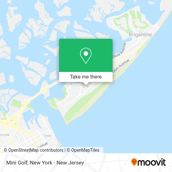
See Mini Golf, Brigantine, on the map
Public Transit to Mini Golf in Brigantine
Wondering how to get to Mini Golf in Brigantine? Moovit helps you find the best way to get to Mini Golf with step-by-step directions from the nearest public transit station.
Moovit provides free maps and live directions to help you navigate through your city. View schedules, routes, timetables, and find out how long does it take to get to Mini Golf in real time.
Looking for the nearest stop or station to Mini Golf? Check out this list of stops closest to your destination: Brigantine Ave at 42nd St S.
Bus: 501.
Want to see if there’s another route that gets you there at an earlier time? Moovit helps you find alternative routes or times. Get directions from and directions to Mini Golf easily from the Moovit App or Website.
We make riding to Mini Golf easy, which is why over 1.5 million users, including users in Brigantine, trust Moovit as the best app for public transit. You don’t need to download an individual bus app or train app, Moovit is your all-in-one transit app that helps you find the best bus time or train time available.
For information on prices of bus and train, costs and ride fares to Mini Golf, please check the Moovit app.
Use the app to navigate to popular places including to the airport, hospital, stadium, grocery store, mall, coffee shop, school, college, and university.
Mini Golf Address: 4300 Bayshore Ave street in Brigantine
- Dog Park,
- Putt Putt Paradise - Brigantine Mini Golf,
- Rams Football Field,
- Tennis Courts,
- Brigantine Bocce Court,
- Pizza,
- Brigantine Miniature Golf Course,
- Brigantine Beach Fee Office,
- Charter Electric,
- 4326 Harbor Beach Blvd Parking,
- United States Postal Service,
- Cedar Sands Condominiums,
- Oasis Beyond Health,
- Novacare Rehabilitation In Partnership With Atlanticare - Brigantine,
- Dr. Paul Amalfitano Dpt, Atc,
- Dr. Luiza Triolo, Psyd, Pmhnp-Bc,
- Brigantine Pickleball Club,
- Brigantine NJ Beach Guide,
- The Pub at St George,
- Club Hanlon
Places Near Mini Golf (Brigantine)
- Chinatown, Manhattan,
- qqqq, Manhattan,
- Times Square, Manhattan,
- SoHo, Manhattan,
- 3 Stone St, Manhattan,
- 111 Centre New York City Supreme Court, Manhattan,
- 376 Hudson Street, Manhattan,
- 911 Memorial, Manhattan,
- Mountainside Hospital, Glen Ridge,
- Wall Street, Manhattan,
- Pier 83, Manhattan,
- Rockefeller Center, Manhattan,
- Bellevue Hospital, Manhattan,
- Queens Center Mall, Queens,
- Katz's Deli, Manhattan,
- 1 Police Plaza, Manhattan,
- San Gennaro Feast, Manhattan,
- 26 Federal Plaza, Manhattan,
- 66 John Street, Manhattan,
- Hudson Yards, Manhattan
How to get to popular places in New York - New Jersey with public transit
Get around Brigantine by public transit!
Traveling around Brigantine has never been so easy. See step by step directions as you travel to any attraction, street or major public transit station. View bus and train schedules, arrival times, service alerts and detailed routes on a map, so you know exactly how to get to anywhere in Brigantine.
When traveling to any destination around Brigantine use Moovit's Live Directions with Get Off Notifications to know exactly where and how far to walk, how long to wait for your line, and how many stops are left. Moovit will alert you when it's time to get off — no need to constantly re-check whether yours is the next stop.
Wondering how to use public transit in Brigantine or how to pay for public transit in Brigantine? Moovit public transit app can help you navigate your way with public transit easily, and at minimum cost. It includes public transit fees, ticket prices, and costs. Looking for a map of Brigantine public transit lines? Moovit public transit app shows all public transit maps in Brigantine with all Bus, Train, Subway, Light Rail, Ferry and Cable Car routes and stops on an interactive map.
New York - New Jersey has 6 transit type(s), including: Bus, Train, Subway, Light Rail, Ferry and Cable Car, operated by several transit agencies, including MTA Subway, Metro-North Railroad, LIRR, PATH, MTA New York City Transit - Express routes, MTA Bus, NJ Transit, NYC Ferry, NICE bus, Bee-Line Bus, NJ Transit Rail, Norwalk Transit District, Hartford Line, River Valley Transit and HART