How to get to Mini Súper Lety by bus?
Click on the bus route to see step by step directions with maps, line arrival times and updated time schedules.
From Jatco, Aguascalientes
46 minFrom Imeco, Aguascalientes
50 minFrom Fraccionamiento Cerro Alto, Aguascalientes
34 minFrom Aeropuerto de Aguascalientes S.A. de C.V., Aguascalientes
47 minFrom Hospital Imss No. 3, Aguascalientes
37 minFrom Fracc. Colinas del Sol, Aguascalientes
40 minFrom Minth, Aguascalientes
54 minFrom Nissan Planta Powertrain, Aguascalientes
46 minFrom Fracc. Rústicos Calpulli, Aguascalientes
41 minFrom Avenida Guadalupe González, Aguascalientes
42 min
Bus stops near Mini Súper Lety in Aguascalientes
Bus lines to Mini Súper Lety in Aguascalientes
- RUTA 04, Mahatma Gandhi - Jesús María,VIEW
- RUTA 08, Utma,VIEW
- RUTA 01, Vicente Guerrero - Margaritas,VIEW
- RUTA 05, Vicente Guerrero - La Ribera,VIEW
- RUTA 06, Jesús María - Mahatma Gandhi,VIEW
- RUTA 09, Mahatma Gandhi - Los Laureles,VIEW
- RUTA 10, UAA Sur - Paseos de Aguascalientes,VIEW
- RUTA 34, Villa Montaña - UPA,VIEW
- RUTA 37, UTMA - Hacienda San Marcos,VIEW
- RUTA 38, Vicente Guerrero - Paso Blanco,VIEW
- RUTA 47, Hacienda San Marcos - Clínica 10,VIEW
- RUTA 02, Centro (Jardín Carpio),VIEW
- RUTA 27, Vicente Guerrero,VIEW
- RUTA 28, Jesús María,VIEW
- RUTA 07, Villas Las Palmas - Centro (Jardínde Zaragoza),VIEW
- RUTA 29, Lomas del Ajedrez -Centro (Jardínde Zaragoza),VIEW
- RUTA 39, El Conejal - Centro (Jardínde Zaragoza),VIEW
- RUTA 43, San Antonio - UTMA,VIEW
- RUTA 09, Cumbres III - Mahatma Gandhi,VIEW
- RUTA 11, Mahatma Gandhi - Chichimeco,VIEW
What are the closest stations to Mini Súper Lety?
The closest stations to Mini Súper Lety are:
- Valladolid, 702c is 99 meters away, 2 min walk.
- 5 De Mayo, 552-558 is 305 meters away, 4 min walk.
- Centro (Jardín Carpio) is 333 meters away, 5 min walk.
- Larreategui, 253 is 343 meters away, 5 min walk.
- Centro (Jardínde Zaragoza) is 382 meters away, 5 min walk.
- Jardín De Zaragoza, 809 is 386 meters away, 5 min walk.
- 5 De Mayo, 93 is 424 meters away, 6 min walk.
- Larreategui, 126 is 501 meters away, 7 min walk.
Which bus lines stop near Mini Súper Lety?
These bus lines stop near Mini Súper Lety: RUTA 03, RUTA 06, RUTA 28, RUTA 34, RUTA 37, RUTA 43.
What’s the nearest bus station to Mini Súper Lety in Aguascalientes?
The nearest bus station to Mini Súper Lety in Aguascalientes is Valladolid, 702c. It’s a 2 min walk away.
What time is the first bus to Mini Súper Lety in Aguascalientes?
The RUTA 29 is the first bus that goes to Mini Súper Lety in Aguascalientes. It stops nearby at 6:00 AM.
What time is the last bus to Mini Súper Lety in Aguascalientes?
The RUTA 07 is the last bus that goes to Mini Súper Lety in Aguascalientes. It stops nearby at 10:45 PM.
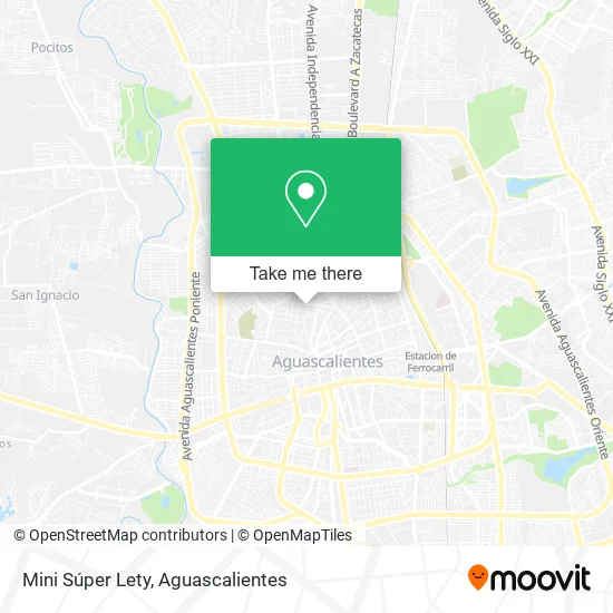
See Mini Súper Lety, Aguascalientes, on the map
Public Transit to Mini Súper Lety in Aguascalientes
Wondering how to get to Mini Súper Lety in Aguascalientes? Moovit helps you find the best way to get to Mini Súper Lety with step-by-step directions from the nearest public transit station.
Moovit provides free maps and live directions to help you navigate through your city. View schedules, routes, timetables, and find out how long does it take to get to Mini Súper Lety in real time.
Looking for the nearest stop or station to Mini Súper Lety? Check out this list of stops closest to your destination: Valladolid; 5 De Mayo; Centro (Jardín Carpio); Larreategui; Centro (Jardínde Zaragoza); Jardín De Zaragoza; 5 De Mayo; Larreategui.
Bus: RUTA 03, RUTA 06, RUTA 28, RUTA 34, RUTA 37, RUTA 43, RUTA 04, RUTA 08, RUTA 01, RUTA 05, RUTA 09, RUTA 10, RUTA 02, RUTA 27, RUTA 07, RUTA 29, RUTA 39, RUTA 09, RUTA 11.
Want to see if there’s another route that gets you there at an earlier time? Moovit helps you find alternative routes or times. Get directions from and directions to Mini Súper Lety easily from the Moovit App or Website.
We make riding to Mini Súper Lety easy, which is why over 1.5 million users, including users in Aguascalientes, trust Moovit as the best app for public transit. You don’t need to download an individual bus app or train app, Moovit is your all-in-one transit app that helps you find the best bus time or train time available.
For information on prices of bus, costs and ride fares to Mini Súper Lety, please check the Moovit app.
Use the app to navigate to popular places including to the airport, hospital, stadium, grocery store, mall, coffee shop, school, college, and university.
Mini Súper Lety Address: Calle Libertad 730, Del Carmen, 20050 Aguascalientes, Aguascalientes street in Aguascalientes
- Panificadora La Providencia,
- Venta de Jugos Naturales,
- Cobranza Aguascalientes I,
- Puppy Land,
- Dimantes,
- carnicería La Esperanza,
- Botanas Curtidor,
- ferretería Don Gas,
- Renovadora de Calzado El Zapa,
- Poliuretanos Espriados del Centro,
- Consultorio Dental Microdent,
- Binasa Aguascalientes S de Rl de Cv,
- Ortodentcg,
- Venta de Gorditas,
- Ryse,
- Cocina El Buen Sazón,
- Auto Empeño,
- Bellas Boutique,
- Pinturas Zugar,
- Autoelectrico Piturrin Jr
Places Near Mini Súper Lety (Aguascalientes)
- ESPACIOS, Aguascalientes,
- Villas de Nuestra Señora de la Asunción, Aguascalientes,
- Blvd. Luis Donaldo Colosio, Aguascalientes,
- Centro Comercial Altaria, Aguascalientes,
- Isla San Marcos, Aguascalientes,
- Universidad Autónoma de Aguascalientes, Aguascalientes,
- Hospital Imss No. 3, Aguascalientes,
- Ciudad industrial, Aguascalientes,
- Villasuncion, Aguascalientes,
- Imss Clinica 1, Aguascalientes,
- La Isla San Marcos, Aguascalientes,
- Agropecuario, Aguascalientes,
- clinica 3 uaa, Aguascalientes,
- Central De Autobuses, Aguascalientes,
- Nuevo Hospital Hidalgo, Aguascalientes,
- Terminal De Combis, Aguascalientes,
- Centro, Aguascalientes,
- Jesús María, Aguascalientes,
- Aeropuerto de Aguascalientes S.A. de C.V., Aguascalientes,
- Parque Las Tres Centurias, Aguascalientes
How to get to popular places in Aguascalientes with public transit
Get around Aguascalientes by public transit!
Traveling around Aguascalientes has never been so easy. See step by step directions as you travel to any attraction, street or major public transit station. View bus and train schedules, arrival times, service alerts and detailed routes on a map, so you know exactly how to get to anywhere in Aguascalientes.
When traveling to any destination around Aguascalientes use Moovit's Live Directions with Get Off Notifications to know exactly where and how far to walk, how long to wait for your line, and how many stops are left. Moovit will alert you when it's time to get off — no need to constantly re-check whether yours is the next stop.
Wondering how to use public transit in Aguascalientes or how to pay for public transit in Aguascalientes? Moovit public transit app can help you navigate your way with public transit easily, and at minimum cost. It includes public transit fees, ticket prices, and costs. Looking for a map of Aguascalientes public transit lines? Moovit public transit app shows all public transit maps in Aguascalientes with all bus routes and stops on an interactive map.
Aguascalientes has 1 transit type(s), including: bus, operated by several transit agencies, including Coordinación General de Movilidad