How to get to Mini Tuti by bus?
Click on the bus route to see step by step directions with maps, line arrival times and updated time schedules.
From Taquara, Duque De Caxias
83 minFrom Van Xerém / Central, Duque De Caxias
73 minFrom Xerém, Duque De Caxias
77 minFrom Monte do Azeite, Duque De Caxias
65 minFrom Santa Cruz Da Serra, Duque De Caxias
60 minFrom Chácaras Rio-Petrópolis, Duque De Caxias
52 minFrom Jardim Anhangá, Duque De Caxias
57 minFrom Itaipava, Petrópolis
86 minFrom SESC Nogueira, Petrópolis
81 minFrom Hospital Estadual Adão Pereira Nunes, Duque De Caxias
59 min
Bus stops near Mini Tuti in Petrópolis
Bus lines to Mini Tuti in Petrópolis
- 154N, Petrópolis - Xerém,VIEW
- 172, Alto Independência,VIEW
- 174, Independência / Cacilda Becker (via Coronel Veiga),VIEW
- 176, Independência / José Chaves (via Coronel Veiga),VIEW
- 178, Taquara,VIEW
- 179, Bairro Mauá (Via Quarteirão Italiano),VIEW
- 183, Siméria (Via Coronel Veiga),VIEW
- 184, Vital Brasil (Via Coronel Veiga),VIEW
- 192, Olga Castrioto (Via Coronel Veiga),VIEW
- 645, Honduras (Via Gulf),VIEW
- 645, Honduras (via Gulf),VIEW
- 646, Duques (via Coronel Veiga),VIEW
- 648, Dr. Thouzet,VIEW
- 650, Amazonas,VIEW
- 653, Venezuela,VIEW
- 654, Espírito Santo (via Rua Ceará),VIEW
- 655, Amazonas (Via Rua Alagoas),VIEW
- 660, Rio de Janeiro (via Rua Friburgo),VIEW
- 662, Alagoas / Rua C,VIEW
- 664, Duques (Noturno),VIEW
What are the closest stations to Mini Tuti?
The closest stations to Mini Tuti are:
- Rua Coronel Veiga, 563-603 is 96 meters away, 2 min walk.
- Rua Coronel Veiga, 758-842 is 118 meters away, 2 min walk.
- Rua Coronel Veiga, 496-530 is 159 meters away, 3 min walk.
- Rua Doutor Eugênio Barcelos, 165-207 is 388 meters away, 6 min walk.
Which bus lines stop near Mini Tuti?
These bus lines stop near Mini Tuti: 154N, 180, 184, 650, 662.
What’s the nearest bus station to Mini Tuti in Petrópolis?
The nearest bus stations to Mini Tuti in Petrópolis are Rua Coronel Veiga, 563-603 and Rua Coronel Veiga, 758-842. The closest one is a 2 min walk away.
What time is the first bus to Mini Tuti in Petrópolis?
The VAN is the first bus that goes to Mini Tuti in Petrópolis. It stops nearby at 4:45 AM.
What time is the last bus to Mini Tuti in Petrópolis?
The 650 is the last bus that goes to Mini Tuti in Petrópolis. It stops nearby at 11:41 PM.
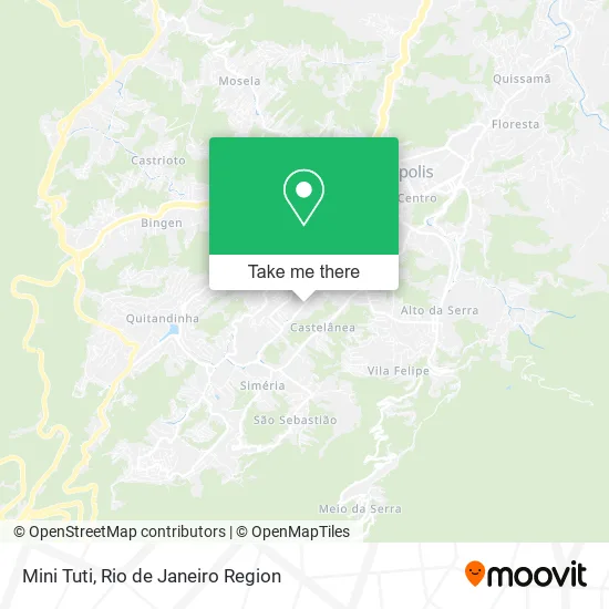
See Mini Tuti, Petrópolis, on the map
Public Transit to Mini Tuti in Petrópolis
Wondering how to get to Mini Tuti in Petrópolis? Moovit helps you find the best way to get to Mini Tuti with step-by-step directions from the nearest public transit station.
Moovit provides free maps and live directions to help you navigate through your city. View schedules, routes, timetables, and find out how long does it take to get to Mini Tuti in real time.
Looking for the nearest stop or station to Mini Tuti? Check out this list of stops closest to your destination: Rua Coronel Veiga; Rua Coronel Veiga; Rua Coronel Veiga; Rua Doutor Eugênio Barcelos.
Bus: 154N, 180, 184, 650, 662, 172, 174, 176, 178, 189, VAN, 124, 643.
Want to see if there’s another route that gets you there at an earlier time? Moovit helps you find alternative routes or times. Get directions from and directions to Mini Tuti easily from the Moovit App or Website.
We make riding to Mini Tuti easy, which is why over 1.5 million users, including users in Petrópolis, trust Moovit as the best app for public transit. You don’t need to download an individual bus app or train app, Moovit is your all-in-one transit app that helps you find the best bus time or train time available.
For information on prices of bus, costs and ride fares to Mini Tuti, please check the Moovit app.
Use the app to navigate to popular places including to the airport, hospital, stadium, grocery store, mall, coffee shop, school, college, and university.
Mini Tuti Address: Rua Coronel Veiga, 682 Petrópolis Petrópolis-RJ 25655-171 street in Petrópolis
- Alden Administracao,
- Village Riviera,
- Homehub Serra,
- Fiotrinta Representações,
- Prime Recuperadora e Comércio de Embreagem,
- Bob's,
- M 2 Motors Comercio de Veículos,
- C. Bessa Serviços de Apoio Administrativo Ltda,
- Condomínio do Edificio Villar Imperial,
- Localiza Hertz,
- Grupo MB Administração de Bens Proprios,
- McDonald's,
- Drogaria Pacheco,
- Zoe Contato,
- M K T Public Marketing Publicidade,
- RECREIO MOTOS,
- Mv Distribuidora e Serviços de Produtos Lotericos,
- Quissamã Pneus,
- Baptista & Haubrich Sociedade de Advogados,
- Rrabx Administração
Places Near Mini Tuti (Petrópolis)
- Avenida Rio Branco, Centro,
- Shopping Rio Sul, Botafogo,
- Shopping RioSul, Botafogo,
- Norte Shopping, Cachambi,
- Praia do Arpoador, Ipanema,
- Rua Ulysses Guimarães 16, Cidade Nova,
- Shopping Downtown, Barra Da Tijuca,
- Hospital Municipal Ronaldo Gazolla, Acari,
- Rodoviária Novo Rio (Rodoviária do Rio de Janeiro), Santo Cristo,
- Rio De Janeiro,
- Hospital Federal Do Andaraí, Andaraí,
- Hospital Federal Cardoso Fontes, Jacarepaguá,
- Feirão De Malhas, Duque De Caxias,
- Feira Livre da Gloria, Glória,
- Avenida Venezuela 134, Saúde,
- Rua Licínio Cardoso, São Francisco Xavier,
- Shopping Nova América, Del Castilho,
- Hospital Pedro Ernesto, Vila Isabel,
- Museu Do Amanhã, Centro,
- Niterói, Niterói
How to get to popular places in Rio de Janeiro Region with public transit
Get around Petrópolis by public transit!
Traveling around Petrópolis has never been so easy. See step by step directions as you travel to any attraction, street or major public transit station. View bus and train schedules, arrival times, service alerts and detailed routes on a map, so you know exactly how to get to anywhere in Petrópolis.
When traveling to any destination around Petrópolis use Moovit's Live Directions with Get Off Notifications to know exactly where and how far to walk, how long to wait for your line, and how many stops are left. Moovit will alert you when it's time to get off — no need to constantly re-check whether yours is the next stop.
Wondering how to use public transit in Petrópolis or how to pay for public transit in Petrópolis? Moovit public transit app can help you navigate your way with public transit easily, and at minimum cost. It includes public transit fees, ticket prices, and costs. Looking for a map of Petrópolis public transit lines? Moovit public transit app shows all public transit maps in Petrópolis with all Bus, Train, Metro, Light Rail, Ferry, Cable Car, Gondola and Funicular routes and stops on an interactive map.
Rio de Janeiro Region has 8 transit type(s), including: Bus, Train, Metro, Light Rail, Ferry, Cable Car, Gondola and Funicular, operated by several transit agencies, including TrensRJ, Metrô Rio, VLT Carioca, Barcas Rio, BRT MOBI-Rio, Auto Viação Alpha, Auto Viação Tijuca, Gire Transportes, Transurb, Viação Nossa Senhora das Graças, Consórcio INTERSUL, Braso Lisboa (Municipal), Caprichosa Auto Ônibus, Auto Viação Três Amigos and Rodoviária Âncora Matias