How to get to Minute Key by bus?
Click on the bus route to see step by step directions with maps, line arrival times and updated time schedules.
From West Kendall Baptist Hospital, Kendale Lakes-Tamiami
31 minFrom Gulliver Preparatory School, Miami
43 minFrom SW 184 St & US 1, Kendall-Palmetto Bay
71 minFrom Kendall Regional Medical Center, Kendale Lakes-Tamiami
66 minFrom Eureka Drive & U.S. 1, Kendall-Palmetto Bay
59 minFrom US1, Miami
45 minFrom SW 137th Ave & SW 8th St, Kendale Lakes-Tamiami
65 minFrom Florida International University-Modesto A. Maidique Campus, South Westside
67 minFrom South Miami Hospital Victor E. Clark Building, Miami
50 minFrom Coral Reef Senior High School, Kendall-Palmetto Bay
55 min
Bus stop near Minute Key in Kendale Lakes-Tamiami
- Sw 88 St @ Sw 127 Av, 4 min walk,VIEW
Bus lines to Minute Key in Kendale Lakes-Tamiami
What are the closest stations to Minute Key?
The closest stations to Minute Key are:
- Sw 88 St @ Sw 127 Av is 267 yards away, 4 min walk.
Which bus lines stop near Minute Key?
These bus lines stop near Minute Key: 288, 88.
What’s the nearest bus station to Minute Key in Kendale Lakes-Tamiami?
The nearest bus station to Minute Key in Kendale Lakes-Tamiami is Sw 88 St @ Sw 127 Av. It’s a 4 min walk away.
What time is the first bus to Minute Key in Kendale Lakes-Tamiami?
The 88 is the first bus that goes to Minute Key in Kendale Lakes-Tamiami. It stops nearby at 5:25 AM.
What time is the last bus to Minute Key in Kendale Lakes-Tamiami?
The 88 is the last bus that goes to Minute Key in Kendale Lakes-Tamiami. It stops nearby at 1:21 AM.
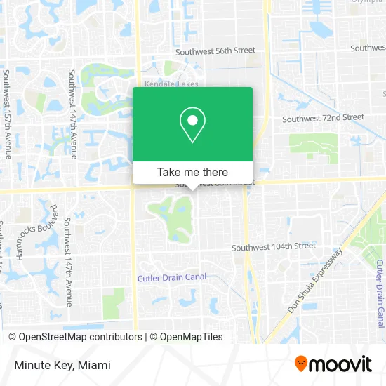
See Minute Key, Kendale Lakes-Tamiami, on the map
Public Transit to Minute Key in Kendale Lakes-Tamiami
Wondering how to get to Minute Key in Kendale Lakes-Tamiami? Moovit helps you find the best way to get to Minute Key with step-by-step directions from the nearest public transit station.
Moovit provides free maps and live directions to help you navigate through your city. View schedules, routes, timetables, and find out how long does it take to get to Minute Key in real time.
Looking for the nearest stop or station to Minute Key? Check out this list of stops closest to your destination: Sw 88 St @ Sw 127 Av.
Bus: 288, 88.
Want to see if there’s another route that gets you there at an earlier time? Moovit helps you find alternative routes or times. Get directions from and directions to Minute Key easily from the Moovit App or Website.
We make riding to Minute Key easy, which is why over 1.5 million users, including users in Kendale Lakes-Tamiami, trust Moovit as the best app for public transit. You don’t need to download an individual bus app or train app, Moovit is your all-in-one transit app that helps you find the best bus time or train time available.
For information on prices of bus and train, costs and ride fares to Minute Key, please check the Moovit app.
Use the app to navigate to popular places including to the airport, hospital, stadium, grocery store, mall, coffee shop, school, college, and university.
Minute Key Address: 12700 SW 88th St Miami, FL 33186 street in Kendale Lakes-Tamiami
- Home Depot Kendall,
- El Parador,
- Unknown Square Merchant,
- Kendall Dr and SW 127 Ave Park & Ride,
- 12700 SW 88th St Parking,
- Miami Fl Locks & Locksmith,
- Beauty Bar Unlimited,
- Liza's Nails,
- Planet Fitness,
- Banos Garcia and Associates Pa,
- Artistry Prints,
- Blunt Blonde Salon,
- Iceberg Rolls,
- Semper Laser,
- Gentle Zap Laser,
- Five Star Jewelers,
- Kendall Corners,
- USPS Collection Box - Blue Box,
- IVX Health Infusion Center,
- Anthony Saboe DC
Places Near Minute Key (Kendale Lakes-Tamiami)
- Miami Design District, Miami,
- Miami-Dade County Courthouse, Miami,
- Little Havana, Miami,
- Hard Rock Stadium, Miami Gardens,
- Dolphin Mall Bus, Miami,
- Zoo Miami, Miami,
- Miami VA Hospital, Miami,
- Port of Miami Cruise Terminal, Miami,
- Bayside Marketplace, Miami,
- Marlins Park, Miami,
- Richard E. Gerstein Justice Building, Miami,
- Keiser University Flagship Campus, West Palm Beach,
- Aventura Mall, Miami,
- Brickell City Centre, Miami,
- Sawgrass mall ( FL ), Miami Beach,
- Sawgrass Mall, Miami,
- Miami Freedom Park, Miami,
- Aventura Mall, Miami Beach,
- Wynwood, Miami,
- Dolphin Mall, Miami
How to get to popular places in Miami with public transit
Get around Kendale Lakes-Tamiami by public transit!
Traveling around Kendale Lakes-Tamiami has never been so easy. See step by step directions as you travel to any attraction, street or major public transit station. View bus and train schedules, arrival times, service alerts and detailed routes on a map, so you know exactly how to get to anywhere in Kendale Lakes-Tamiami.
When traveling to any destination around Kendale Lakes-Tamiami use Moovit's Live Directions with Get Off Notifications to know exactly where and how far to walk, how long to wait for your line, and how many stops are left. Moovit will alert you when it's time to get off — no need to constantly re-check whether yours is the next stop.
Wondering how to use public transit in Kendale Lakes-Tamiami or how to pay for public transit in Kendale Lakes-Tamiami? Moovit public transit app can help you navigate your way with public transit easily, and at minimum cost. It includes public transit fees, ticket prices, and costs. Looking for a map of Kendale Lakes-Tamiami public transit lines? Moovit public transit app shows all public transit maps in Kendale Lakes-Tamiami with all Bus, Train, Light Rail and Ferry routes and stops on an interactive map.
Miami has 4 transit type(s), including: Bus, Train, Light Rail and Ferry, operated by several transit agencies, including Broward County Transit, Miami-Dade Transit, Metrorail, Palm Tran, Tri-Rail, Brightline, MARTY, City of Homestead Trolley, Key West Transit, Treasure Coast Connector, GoLine IRT, Amtrak, Greyhound-us, FlixBus-us and Aventura Express Shuttle Bus