Directions to Mitchell Branch Library (New Haven) with public transportation
The following transit lines have routes that pass near Mitchell Branch Library
 Bus: 241, 243, 246, 261, 268.
- Train: AMTRAK HARTFORD LINE, COMMUTER RAIL, NORTHEAST REGIONAL, VALLEY FLYER, HARTFORD LINE.
How to get to Mitchell Branch Library by bus?
Click on the bus route to see step by step directions with maps, line arrival times and updated time schedules.
Bus stops near Mitchell Branch Library in New Haven
Train station near Mitchell Branch Library in New Haven
- New Haven State Street, 5 min walk,VIEW
Bus lines to Mitchell Branch Library in New Haven
What are the closest stations to Mitchell Branch Library?
The closest stations to Mitchell Branch Library are:
- Whalley Ave @ Harrison St is 81 yards away, 2 min walk.
- Alden Ave @ Fountain St is 184 yards away, 3 min walk.
- Valley St @ Blake St is 249 yards away, 4 min walk.
- New Haven State Street is 365 yards away, 5 min walk.
Which bus lines stop near Mitchell Branch Library?
These bus lines stop near Mitchell Branch Library: 241, 243, 246, 261, 268.
What’s the nearest train station to Mitchell Branch Library in New Haven?
The nearest train station to Mitchell Branch Library in New Haven is New Haven State Street. It’s a 5 min walk away.
What’s the nearest bus station to Mitchell Branch Library in New Haven?
The nearest bus station to Mitchell Branch Library in New Haven is Whalley Ave @ Harrison St. It’s a 2 min walk away.
What time is the first train to Mitchell Branch Library in New Haven?
The COMMUTER RAIL is the first train that goes to Mitchell Branch Library in New Haven. It stops nearby at 4:27 AM.
What time is the last train to Mitchell Branch Library in New Haven?
The HARTFORD LINE is the last train that goes to Mitchell Branch Library in New Haven. It stops nearby at 11:45 PM.
What time is the first bus to Mitchell Branch Library in New Haven?
The 243 is the first bus that goes to Mitchell Branch Library in New Haven. It stops nearby at 4:36 AM.
What time is the last bus to Mitchell Branch Library in New Haven?
The 246 is the last bus that goes to Mitchell Branch Library in New Haven. It stops nearby at 1:27 AM.
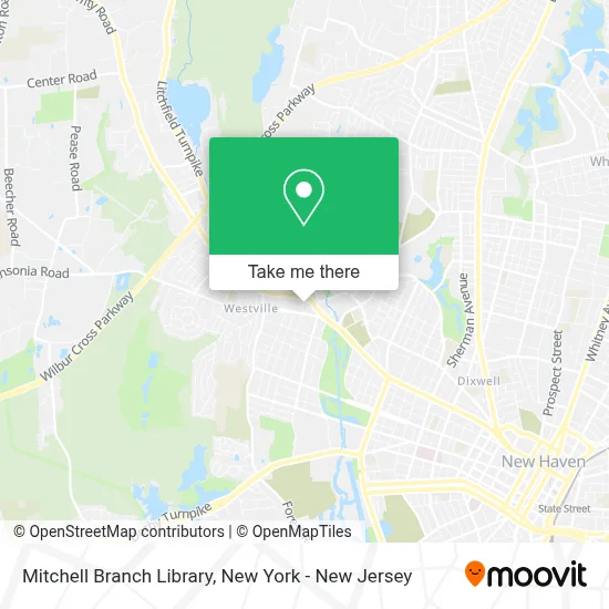
See Mitchell Branch Library, New Haven, on the map
Public Transit to Mitchell Branch Library in New Haven
Wondering how to get to Mitchell Branch Library in New Haven? Moovit helps you find the best way to get to Mitchell Branch Library with step-by-step directions from the nearest public transit station.
Moovit provides free maps and live directions to help you navigate through your city. View schedules, routes, timetables, and find out how long does it take to get to Mitchell Branch Library in real time.
Looking for the nearest stop or station to Mitchell Branch Library? Check out this list of stops closest to your destination: Whalley Ave @ Harrison St; Alden Ave @ Fountain St; Valley St @ Blake St; New Haven State Street.
Bus: 241, 243, 246, 261, 268.Train: AMTRAK HARTFORD LINE, COMMUTER RAIL, NORTHEAST REGIONAL, VALLEY FLYER, HARTFORD LINE.
Want to see if there’s another route that gets you there at an earlier time? Moovit helps you find alternative routes or times. Get directions from and directions to Mitchell Branch Library easily from the Moovit App or Website.
We make riding to Mitchell Branch Library easy, which is why over 1.5 million users, including users in New Haven, trust Moovit as the best app for public transit. You don’t need to download an individual bus app or train app, Moovit is your all-in-one transit app that helps you find the best bus time or train time available.
For information on prices of bus and train, costs and ride fares to Mitchell Branch Library, please check the Moovit app.
Use the app to navigate to popular places including to the airport, hospital, stadium, grocery store, mall, coffee shop, school, college, and university.
Mitchell Branch Library Address: 37 Harrison St street in New Haven
- New Haven Library - Mitchell Branch,
- New Haven Free Public Library,
- City of New Haven,
- The Haven Church,
- Church of Scientology of New Haven,
- Generations Obgyn,
- United States Postal Service,
- Westville,
- Us Post Office,
- Post Office Westville,
- Ct Folk,
- Engine 15 Westville New Haven,
- 203 Mobile Detailing,
- Top Cut Barbershop,
- Fin and Scale,
- Cj Family Team at Planet Realty Ct,
- Beth El-Keser Israel,
- Malby Artisan Bread and Pastries,
- Inkberry Art Shop,
- Strange Ways
Places Near Mitchell Branch Library (New Haven)
- Bellevue Hospital, Manhattan,
- Queens Center Mall, Queens,
- Pier 83, Manhattan,
- Chinatown, Manhattan,
- 111 Centre New York City Supreme Court, Manhattan,
- qqqq, Manhattan,
- 1 Police Plaza, Manhattan,
- 376 Hudson Street, Manhattan,
- Katz's Deli, Manhattan,
- 911 Memorial, Manhattan,
- 66 John Street, Manhattan,
- Hudson Yards, Manhattan,
- San Gennaro Feast, Manhattan,
- SoHo, Manhattan,
- Mountainside Hospital, Glen Ridge,
- Rockefeller Center, Manhattan,
- 3 Stone St, Manhattan,
- Wall Street, Manhattan,
- 26 Federal Plaza, Manhattan,
- Times Square, Manhattan
How to get to popular places in New York - New Jersey with public transit
Get around New Haven by public transit!
Traveling around New Haven has never been so easy. See step by step directions as you travel to any attraction, street or major public transit station. View bus and train schedules, arrival times, service alerts and detailed routes on a map, so you know exactly how to get to anywhere in New Haven.
When traveling to any destination around New Haven use Moovit's Live Directions with Get Off Notifications to know exactly where and how far to walk, how long to wait for your line, and how many stops are left. Moovit will alert you when it's time to get off — no need to constantly re-check whether yours is the next stop.
Wondering how to use public transit in New Haven or how to pay for public transit in New Haven? Moovit public transit app can help you navigate your way with public transit easily, and at minimum cost. It includes public transit fees, ticket prices, and costs. Looking for a map of New Haven public transit lines? Moovit public transit app shows all public transit maps in New Haven with all Bus, Train, Subway, Light Rail, Ferry and Cable Car routes and stops on an interactive map.
New York - New Jersey has 6 transit type(s), including: Bus, Train, Subway, Light Rail, Ferry and Cable Car, operated by several transit agencies, including MTA Subway, Metro-North Railroad, LIRR, PATH, MTA New York City Transit - Express routes, MTA Bus, NJ Transit, NYC Ferry, NICE bus, Bee-Line Bus, NJ Transit Rail, Norwalk Transit District, Hartford Line, River Valley Transit and HART