Directions to Modanesebrito (Atuba) with public transportation
The following transit lines have routes that pass near Modanesebrito
How to get to Modanesebrito by bus?
Click on the bus route to see step by step directions with maps, line arrival times and updated time schedules.
From Carrefour Hipermercado Parolim, Prado Velho
45 minFrom Estação Tubo Jardim Botânico, Jardim Botânico
31 minFrom Jardim Social, Jardim Social
48 minFrom Rua Buenos Aires, Batel
41 minFrom Estação Tubo Praça Oswaldo Cruz, Água Verde
46 minFrom Barreirinha, Barreirinha
42 minFrom Tribunal Regional Eleitoral do Paraná, Prado Velho
40 minFrom Avenida Vicente Machado, Batel
56 minFrom Shopping Crystal, Batel
47 minFrom Rua Comendador Macedo, Centro
28 min
Bus stops near Modanesebrito in Atuba
Bus lines to Modanesebrito in Atuba
- 237 PARQUE ATUBA, Terminal Santa Cândida ↺ Parque Atuba (Circular),VIEW
- 231 BANESTADO / CALIFÓRNIA, Terminal Santa Cândida ↺ Banestado (Circular),VIEW
- B11 MARACANÃ / SANTA CÂNDIDA, Terminal Maracanã → Terminal Santa Cândida,VIEW
- B39 CAMPO ALTO / SANTA CÂNDIDA, Terminal Santa Cândida ↺ Campo Alto / Capela do Atuba (Circular),VIEW
- B57 CAMPO ALTO / SANTA CÂNDIDA, Terminal Santa Cândida ↺ Terminal Maracanã (Circular),VIEW
- B58 MARACANÃ / SANTA CÂNDIDA (CIRCULAR), Terminal Santa Cândida ↺ Terminal Maracanã (Circular),VIEW
- 233 OLARIA, Terminal Santa Cândida ↻ Olaria (Circular),VIEW
What are the closest stations to Modanesebrito?
The closest stations to Modanesebrito are:
- Rua Arnoldo Wolff Gaensly, 673 is 49 meters away, 1 min walk.
- R. Engenheiro Benedicto Saddock De Sá, 290 is 388 meters away, 6 min walk.
- Estrada das Olarias, 1353 is 702 meters away, 10 min walk.
Which bus lines stop near Modanesebrito?
These bus lines stop near Modanesebrito: 231 BANESTADO / CALIFÓRNIA, 237 PARQUE ATUBA.
What’s the nearest bus station to Modanesebrito in Atuba?
The nearest bus station to Modanesebrito in Atuba is Rua Arnoldo Wolff Gaensly, 673. It’s a 1 min walk away.
What time is the first bus to Modanesebrito in Atuba?
The 231 BANESTADO / CALIFÓRNIA is the first bus that goes to Modanesebrito in Atuba. It stops nearby at 4:51 AM.
What time is the last bus to Modanesebrito in Atuba?
The 231 BANESTADO / CALIFÓRNIA is the last bus that goes to Modanesebrito in Atuba. It stops nearby at 12:41 AM.
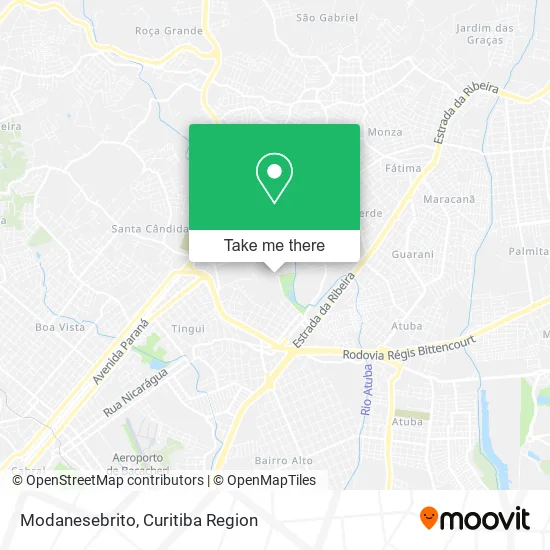
See Modanesebrito, Atuba, on the map
Public Transit to Modanesebrito in Atuba
Wondering how to get to Modanesebrito in Atuba? Moovit helps you find the best way to get to Modanesebrito with step-by-step directions from the nearest public transit station.
Moovit provides free maps and live directions to help you navigate through your city. View schedules, routes, timetables, and find out how long does it take to get to Modanesebrito in real time.
Looking for the nearest stop or station to Modanesebrito? Check out this list of stops closest to your destination: Rua Arnoldo Wolff Gaensly; R. Engenheiro Benedicto Saddock De Sá; Estrada das Olarias.
Bus: 231 BANESTADO / CALIFÓRNIA, 237 PARQUE ATUBA, B11 MARACANÃ / SANTA CÂNDIDA, B39 CAMPO ALTO / SANTA CÂNDIDA, B57 CAMPO ALTO / SANTA CÂNDIDA, B58 MARACANÃ / SANTA CÂNDIDA (CIRCULAR), 233 OLARIA.
Want to see if there’s another route that gets you there at an earlier time? Moovit helps you find alternative routes or times. Get directions from and directions to Modanesebrito easily from the Moovit App or Website.
We make riding to Modanesebrito easy, which is why over 1.5 million users, including users in Atuba, trust Moovit as the best app for public transit. You don’t need to download an individual bus app or train app, Moovit is your all-in-one transit app that helps you find the best bus time or train time available.
For information on prices of bus, costs and ride fares to Modanesebrito, please check the Moovit app.
Use the app to navigate to popular places including to the airport, hospital, stadium, grocery store, mall, coffee shop, school, college, and university.
Modanesebrito Address: Rua Arnoldo Wolff Gaensly, 78 Atuba Curitiba-PR 82630-170 street in Atuba
- Rabicho Pet Shop,
- Guaraci Lataria & Pintura,
- Auto Eletrica Rodrigues,
- J R Produtos de Limpeza,
- Fac - Informática,
- Distribuidora de Bebidas Chega Mais,
- Carlos Rodrigues da Cruz,
- Red Motos,
- Amaral Minerios,
- Marandreia Cross,
- Soares Transportes,
- Alonso Transportes,
- Bassetti,
- Hf Transporte de Cargas,
- Kelly Rodrigues,
- Sampa Servicos Sss,
- Dulce Petit Doces e Salgados,
- Fresh Juice,
- Rua Alagoas 34,
- Dilaine Veiga
Places Near Modanesebrito (Atuba)
- Arena Da Baixada - Curitiba,
- Jockey Plaza Shopping Center, Tarumã,
- Parque Barigui, Mercês,
- Hospital Da Cruz Vermelha, Batel,
- Hospital Angelina Caron, Campina Grande Do Sul,
- Hospital Madalena Sofia, Bairro Alto,
- Park Shopping Barigüi, Mossunguê,
- Hhhhh, Fazendinha,
- Jardim Botânico de Curitiba PR, Centro,
- Hospital de Clínicas (HC - UFPR), Centro,
- Rua General Mário Tourinho, Campina Do Siqueira,
- Hospital Universitário Evangélico de Curitiba, Bigorrilho,
- Pontifícia Universidade Católica do Paraná (PUCPR), Prado Velho,
- Hospital do Rocio, Campo,
- Shopping Palladium, Portão,
- Campo Largo, Campo,
- Hospital Erasto Gaertner, Jardim Das Américas,
- Shopping Estação, Rebouças,
- Hospital Nossa Senhora Das Graças, Mercês,
- Rua Martim Afonso 558, Mercês
How to get to popular places in Curitiba Region with public transit
Get around Atuba by public transit!
Traveling around Atuba has never been so easy. See step by step directions as you travel to any attraction, street or major public transit station. View bus and train schedules, arrival times, service alerts and detailed routes on a map, so you know exactly how to get to anywhere in Atuba.
When traveling to any destination around Atuba use Moovit's Live Directions with Get Off Notifications to know exactly where and how far to walk, how long to wait for your line, and how many stops are left. Moovit will alert you when it's time to get off — no need to constantly re-check whether yours is the next stop.
Wondering how to use public transit in Atuba or how to pay for public transit in Atuba? Moovit public transit app can help you navigate your way with public transit easily, and at minimum cost. It includes public transit fees, ticket prices, and costs. Looking for a map of Atuba public transit lines? Moovit public transit app shows all public transit maps in Atuba with all Bus and Cable Car routes and stops on an interactive map.
Curitiba Region has 2 transit type(s), including: Bus and Cable Car, operated by several transit agencies, including Sistema Integrado de Mobilidade (URBS), Sistema Integrado de Mobilidade (AMEP), URBS (Cartões bancários e Dinheiro), URBS (Cartões bancários / Cartão URBS), AMEP (Cartões bancários / Cartão MetroCard), AMEP (Cartões bancários / Cartão MetroCard / Dinheiro), Viação Colombo (Dinheiro), TRIAR (Cartão TRIAR / Dinheiro), Empresa Curitiba Cerro Azul (Dinheiro), Expresso Nossa Senhora da Penha (Dinheiro), Empresa Campo Alto Tijucas (Dinheiro), Auto Viação São José (Cartão VEM / Dinheiro), BRT S/A (Cartão VEM / Dinheiro), TransPiedade (Cartão Cidadão / Dinheiro) and Oceânica Sul (Cartão Transporte / Dinheiro)