How to get to MoneyGram by bus?
Click on the bus route to see step by step directions with maps, line arrival times and updated time schedules.
From Av Eugenio Garza Sada, Aguascalientes
48 minFrom Quintas Miguel Gerónimo, Aguascalientes
59 minFrom Dunkin' Donuts, Aguascalientes
40 minFrom Fraccionamiento Villa Loma Dorada, Aguascalientes
72 minFrom Trojes de San Cristobal, Aguascalientes
61 minFrom San Francisco de Los Romo, Aguascalientes
36 minFrom Avenida Paseo de La Solidaridad, Aguascalientes
39 minFrom Prolongación Zaragoza, Aguascalientes
47 minFrom Tec De Monterrey Campus Aguascalientes, Aguascalientes
52 minFrom Avenida de la Convención de 1914 Norte, Aguascalientes
27 min
Bus stops near MoneyGram in Aguascalientes
Bus lines to MoneyGram in Aguascalientes
- RUTA 50, Universidad Tecnológica,VIEW
- RUTA 04, Mahatma Gandhi - Jesús María,VIEW
- RUTA 33, Jesús María,VIEW
- RUTA 43, Utma,VIEW
- RUTA 43, San Antonio Via Lomas De New York,VIEW
- RUTA 03, La Ribera,VIEW
- RUTA 14, Vicente Guerrero,VIEW
- RUTA 30, Martínez Dóminguez,VIEW
- RUTA 40, Terminal Oriente - Terminal Oriente (N),VIEW
- RUTA 40, Terminal Oriente - Terminal Oriente (S),VIEW
What are the closest stations to MoneyGram?
The closest stations to MoneyGram are:
- Avenida Mahatma Gandhi, Lb is 306 meters away, 5 min walk.
- Boulevard José María Chávez, Lb is 381 meters away, 6 min walk.
- Paseo Del Pelícano, 10tn(Int1 is 582 meters away, 8 min walk.
- Terminal Martínez Domínguez is 684 meters away, 10 min walk.
- Aguascalientes Sur, 114a is 717 meters away, 10 min walk.
- Avenida Aguascalientes Sur, 114 is 731 meters away, 10 min walk.
Which bus lines stop near MoneyGram?
These bus lines stop near MoneyGram: RUTA 04, RUTA 40, RUTA 43.
What’s the nearest bus station to MoneyGram in Aguascalientes?
The nearest bus station to MoneyGram in Aguascalientes is Avenida Mahatma Gandhi, Lb. It’s a 5 min walk away.
What time is the first bus to MoneyGram in Aguascalientes?
The RUTA 30 is the first bus that goes to MoneyGram in Aguascalientes. It stops nearby at 6:00 AM.
What time is the last bus to MoneyGram in Aguascalientes?
The RUTA 43 is the last bus that goes to MoneyGram in Aguascalientes. It stops nearby at 10:30 PM.
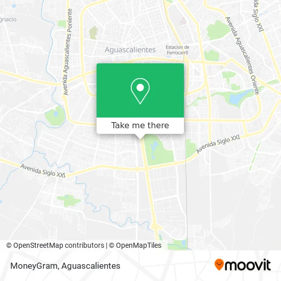
See MoneyGram, Aguascalientes, on the map
Public Transit to MoneyGram in Aguascalientes
Wondering how to get to MoneyGram in Aguascalientes? Moovit helps you find the best way to get to MoneyGram with step-by-step directions from the nearest public transit station.
Moovit provides free maps and live directions to help you navigate through your city. View schedules, routes, timetables, and find out how long does it take to get to MoneyGram in real time.
Looking for the nearest stop or station to MoneyGram? Check out this list of stops closest to your destination: Avenida Mahatma Gandhi; Boulevard José María Chávez; Paseo Del Pelícano; Terminal Martínez Domínguez; Aguascalientes Sur; Avenida Aguascalientes Sur.
Bus: RUTA 04, RUTA 40, RUTA 43, RUTA 50, RUTA 33, RUTA 03, RUTA 14, RUTA 30.
Want to see if there’s another route that gets you there at an earlier time? Moovit helps you find alternative routes or times. Get directions from and directions to MoneyGram easily from the Moovit App or Website.
We make riding to MoneyGram easy, which is why over 1.5 million users, including users in Aguascalientes, trust Moovit as the best app for public transit. You don’t need to download an individual bus app or train app, Moovit is your all-in-one transit app that helps you find the best bus time or train time available.
For information on prices of bus, costs and ride fares to MoneyGram, please check the Moovit app.
Use the app to navigate to popular places including to the airport, hospital, stadium, grocery store, mall, coffee shop, school, college, and university.
MoneyGram Address: MoneyGram, Boulevard José María Chávez 1809, Martinez Dominguez, 20280 Aguascalientes, Aguascalient street in Aguascalientes
- Chedraui Aguascalientes Asunción T250,
- ATM/Cajero Bbva,
- Cinepolis Carrefour Sur Aguascalientes,
- DIVERTEC INFANTIL AGUASCALIENTES,
- Chedraui,
- Cinepolis-Sur Aguascalientes,
- WESTERN UNION,
- Pilar Blanco,
- YAK,
- The Home Depot,
- BBVA,
- PRADOS DE VILLASUNCION,
- Cinepolis Chedraui,
- Centro Botanico El Girasol,
- Grupo Charter Salida,
- Cajero Automático HSBC México,
- Lavado Profesional de Salas,
- Cinepolis,
- Pollo Kentucky (KFC),
- Alba Jara Juan Manuel CP
Places Near MoneyGram (Aguascalientes)
- Villasuncion, Aguascalientes,
- Parque Las Tres Centurias, Aguascalientes,
- Ciudad industrial, Aguascalientes,
- Isla San Marcos, Aguascalientes,
- Imss Clinica 1, Aguascalientes,
- Centro, Aguascalientes,
- Central De Autobuses, Aguascalientes,
- Universidad Autónoma de Aguascalientes, Aguascalientes,
- La Isla San Marcos, Aguascalientes,
- Jesús María, Aguascalientes,
- Aeropuerto de Aguascalientes S.A. de C.V., Aguascalientes,
- ESPACIOS, Aguascalientes,
- Terminal De Combis, Aguascalientes,
- Nuevo Hospital Hidalgo, Aguascalientes,
- Blvd. Luis Donaldo Colosio, Aguascalientes,
- Centro Comercial Altaria, Aguascalientes,
- Hospital Imss No. 3, Aguascalientes,
- Agropecuario, Aguascalientes,
- Villas de Nuestra Señora de la Asunción, Aguascalientes,
- clinica 3 uaa, Aguascalientes
How to get to popular places in Aguascalientes with public transit
Get around Aguascalientes by public transit!
Traveling around Aguascalientes has never been so easy. See step by step directions as you travel to any attraction, street or major public transit station. View bus and train schedules, arrival times, service alerts and detailed routes on a map, so you know exactly how to get to anywhere in Aguascalientes.
When traveling to any destination around Aguascalientes use Moovit's Live Directions with Get Off Notifications to know exactly where and how far to walk, how long to wait for your line, and how many stops are left. Moovit will alert you when it's time to get off — no need to constantly re-check whether yours is the next stop.
Wondering how to use public transit in Aguascalientes or how to pay for public transit in Aguascalientes? Moovit public transit app can help you navigate your way with public transit easily, and at minimum cost. It includes public transit fees, ticket prices, and costs. Looking for a map of Aguascalientes public transit lines? Moovit public transit app shows all public transit maps in Aguascalientes with all bus routes and stops on an interactive map.
Aguascalientes has 1 transit type(s), including: bus, operated by several transit agencies, including Coordinación General de Movilidad