How to get to Mora by bus?
Click on the bus route to see step by step directions with maps, line arrival times and updated time schedules.
From Barrio de Santa Eugenia, Madrid
94 minFrom Via Lusitana, Madrid
84 minFrom Calle de Tomás Bretón, Madrid
61 minFrom La Gavia, Madrid
134 minFrom Estación Sur de Autobuses de Madrid, Madrid
65 minFrom Villa del Prado, Madrid
77 minFrom Calle Hacienda de Pavones, Madrid
109 minFrom Calle de Santoña 35, Madrid
66 minFrom Estadio Butarque, Área Metropolitana De Madrid Y Corredor Del Henares
106 minFrom Calle Picos de Europa 49, Madrid
90 min
Bus stops near Mora in Área Metropolitana De Madrid Y Corredor Del Henares
Bus lines to Mora in Área Metropolitana De Madrid Y Corredor Del Henares
What are the closest stations to Mora?
The closest stations to Mora are:
- Ctra. M-301 - Caserío De Perales is 619 meters away, 11 min walk.
- Viento - Caserío De Perales is 707 meters away, 12 min walk.
Which bus lines stop near Mora?
These bus lines stop near Mora: 411, 415.
What’s the nearest bus station to Mora in Área Metropolitana De Madrid Y Corredor Del Henares?
The nearest bus station to Mora in Área Metropolitana De Madrid Y Corredor Del Henares is Ctra. M-301 - Caserío De Perales. It’s a 11 min walk away.
What time is the first bus to Mora in Área Metropolitana De Madrid Y Corredor Del Henares?
The 411 is the first bus that goes to Mora in Área Metropolitana De Madrid Y Corredor Del Henares. It stops nearby at 5:30 AM.
What time is the last bus to Mora in Área Metropolitana De Madrid Y Corredor Del Henares?
The 411 is the last bus that goes to Mora in Área Metropolitana De Madrid Y Corredor Del Henares. It stops nearby at 2:30 AM.
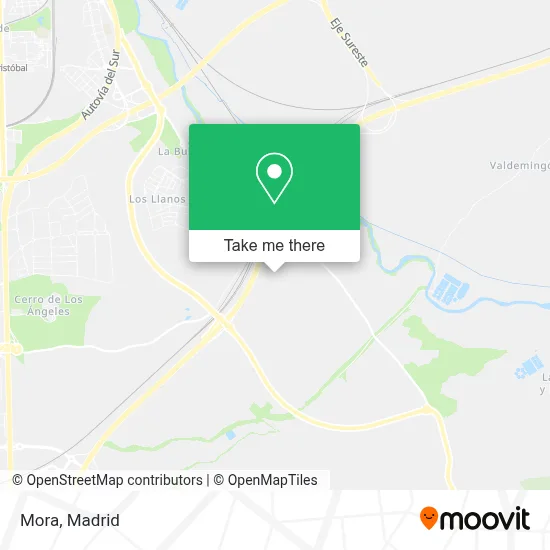
See Mora, Área Metropolitana De Madrid Y Corredor Del Henares, on the map
Public Transit to Mora in Área Metropolitana De Madrid Y Corredor Del Henares
Wondering how to get to Mora in Área Metropolitana De Madrid Y Corredor Del Henares? Moovit helps you find the best way to get to Mora with step-by-step directions from the nearest public transit station.
Moovit provides free maps and live directions to help you navigate through your city. View schedules, routes, timetables, and find out how long does it take to get to Mora in real time.
Looking for the nearest stop or station to Mora? Check out this list of stops closest to your destination: Ctra. M-301 - Caserío De Perales; Viento - Caserío De Perales.
Bus: 411, 415, 412, 4.
Want to see if there’s another route that gets you there at an earlier time? Moovit helps you find alternative routes or times. Get directions from and directions to Mora easily from the Moovit App or Website.
We make riding to Mora easy, which is why over 1.5 million users, including users in Área Metropolitana De Madrid Y Corredor Del Henares, trust Moovit as the best app for public transit. You don’t need to download an individual bus app or train app, Moovit is your all-in-one transit app that helps you find the best bus time or train time available.
For information on prices of bus, metro and train, costs and ride fares to Mora, please check the Moovit app.
Use the app to navigate to popular places including to the airport, hospital, stadium, grocery store, mall, coffee shop, school, college, and university.
Mora Address: Autovía de Circunvalación, 28909 Getafe, Madrid, Spain street in Área Metropolitana De Madrid Y Corredor Del Henares
- Camino de las Casas de la Torrecilla,
- Calle Aranjuez / Calle Pozuelo de Alarcón,
- Plaza Batalla Del Jarama,
- Hermanos García Argudo,
- Correos,
- Plaza Mayor,
- Caserío de Perales del Río,
- Plaza Chinchón,
- Plaza de Chinchón / Calle Aldea del Fresno,
- Caserío De Perales,
- Plaza Carmen Pina,
- Calle Villarejo de Salvanés 2,
- Urb. Perales del Rio,
- Plaza Majadahonda,
- Plaza De Boadilla,
- Plaza Marqués De Tolosa,
- Yotu+Photo Fotolandia,
- Calle Getafe,
- Piscina, Mirador de Perales,
- Plaza Aravaca
Places Near Mora (Área Metropolitana De Madrid Y Corredor Del Henares)
- Centro Comercial La Vaguada, Área Metropolitana De Madrid Y Corredor Del Henares,
- Plenilunio, Área Metropolitana De Madrid Y Corredor Del Henares,
- Centro Comercial Oasiz Madrid, Área Metropolitana De Madrid Y Corredor Del Henares,
- Estadio Wanda Metropolitano, Área Metropolitana De Madrid Y Corredor Del Henares,
- Centro Comercial La Gavia, Área Metropolitana De Madrid Y Corredor Del Henares,
- Hospital Universitario Ramón y Cajal, Madrid,
- Rastro De Madrid, Área Metropolitana De Madrid Y Corredor Del Henares,
- Mendez Alvaro, Madrid,
- Estacion de Chamartin, Madrid,
- Calle de López de Hoyos 169, Madrid,
- Centro Comercial Islazul, Área Metropolitana De Madrid Y Corredor Del Henares,
- Mercadillo de Majadahonda, Majadahonda,
- Palacio De Vistalegre, Área Metropolitana De Madrid Y Corredor Del Henares,
- Plaza Mayor, Madrid,
- Wizink Center, Madrid,
- Hospital Universitario La Paz, Madrid,
- Tres Aguas, Alcorcón,
- Sala La Riviera, Madrid,
- Hospital Clínico Universitario San Carlos, Madrid,
- Nassica, Área Metropolitana De Madrid Y Corredor Del Henares
How to get to popular places in Madrid with public transit
Get around Área Metropolitana De Madrid Y Corredor Del Henares by public transit!
Traveling around Área Metropolitana De Madrid Y Corredor Del Henares has never been so easy. See step by step directions as you travel to any attraction, street or major public transit station. View bus and train schedules, arrival times, service alerts and detailed routes on a map, so you know exactly how to get to anywhere in Área Metropolitana De Madrid Y Corredor Del Henares.
When traveling to any destination around Área Metropolitana De Madrid Y Corredor Del Henares use Moovit's Live Directions with Get Off Notifications to know exactly where and how far to walk, how long to wait for your line, and how many stops are left. Moovit will alert you when it's time to get off — no need to constantly re-check whether yours is the next stop.
Wondering how to use public transit in Área Metropolitana De Madrid Y Corredor Del Henares or how to pay for public transit in Área Metropolitana De Madrid Y Corredor Del Henares? Moovit public transit app can help you navigate your way with public transit easily, and at minimum cost. It includes public transit fees, ticket prices, and costs. Looking for a map of Área Metropolitana De Madrid Y Corredor Del Henares public transit lines? Moovit public transit app shows all public transit maps in Área Metropolitana De Madrid Y Corredor Del Henares with all Bus, Train, Metro and Light Rail routes and stops on an interactive map.
Madrid has 4 transit type(s), including: Bus, Train, Metro and Light Rail, operated by several transit agencies, including Metro de Madrid, Metro Ligero, Tranvía de Parla, Renfe Cercanías - Servicios de Autobús especiales, Renfe Cercanias, Renfe Cercanías, EMT, Interurbanos, Urbanos de Alcalá de Henares, Urbanos de Alcobendas, Urbanos de Alcorcón, Urbanos de Algete, Urbanos de Aranjuez, Urbanos de Arganda del Rey and Urbanos de Arroyomolinos