Morris St & 6th St stop - Thursday schedule
| Line | Direction | Time |
|---|---|---|
| 29 | Pier 70 | 5:02 AM |
| 29 | Pier 70 | 5:32 AM |
| 29 | Pier 70 | 5:52 AM |
| 29 | Pier 70 | 6:12 AM |
| 29 | Pier 70 | 6:30 AM |
| 29 | Pier 70 | 6:47 AM |
| 29 | Pier 70 | 7:01 AM |
| 29 | Pier 70 | 7:11 AM |
| 29 | Pier 70 | 7:21 AM |
| 29 | Pier 70 | 7:29 AM |
| 29 | Pier 70 | 7:39 AM |
| 29 | Pier 70 | 7:49 AM |
| 29 | Pier 70 | 7:59 AM |
| 29 | Pier 70 | 8:12 AM |
| 29 | Pier 70 | 8:24 AM |
| 29 | Pier 70 | 8:36 AM |
| 29 | Pier 70 | 8:48 AM |
| 29 | Pier 70 | 9:00 AM |
| 29 | Pier 70 | 9:12 AM |
| 29 | Pier 70 | 9:24 AM |
| 29 | Pier 70 | 9:36 AM |
| 29 | Pier 70 | 9:48 AM |
| 29 | Pier 70 | 10:03 AM |
| 29 | Pier 70 | 10:20 AM |
| 29 | Pier 70 | 10:39 AM |
Directions to Morris St & 6th St stop (Philadelphia) with public transit
The following transit lines have routes that pass near Morris St & 6th St
 Bus: 47, 47M, 57, 29.
- Train: MED, PAO, TRE.
- Metro: B1.
How to get to Morris St & 6th St stop by bus?
Click on the bus route to see step by step directions with maps, line arrival times and updated time schedules.
How to get to Morris St & 6th St stop by train?
Click on the train route to see step by step directions with maps, line arrival times and updated time schedules.
How to get to Morris St & 6th St stop by metro?
Click on the metro route to see step by step directions with maps, line arrival times and updated time schedules.
Bus stops near Morris St & 6th St stop in Philadelphia
- 7th St & Morris St , 2 min walk,
- Morris St & 5th St, 3 min walk,
- 8th St & Morris St , 4 min walk,
Metro stations near Morris St & 6th St station in Philadelphia
- Tasker Morris, 10 min walk,
Bus lines to Morris St & 6th St stop in Philadelphia
- 47, 8th-Oregon,
- 29, 33rd-Dickinson,
- 47M, Whitman Plaza,
What are the closest stations to Morris St & 6th St?
The closest stations to Morris St & 6th St are:
- 7th St & Morris St stop is 131 yards away, 2 min walk.
- Morris St & 5th St stop is 156 yards away, 3 min walk.
- 8th St & Morris St stop is 266 yards away, 4 min walk.
- Tasker Morris station is 843 yards away, 10 min walk.
Which bus lines stop near Morris St & 6th St?
These bus lines stop near Morris St & 6th St: 47, 47M, 57.
Which train lines stop near Morris St & 6th St?
These train lines stop near Morris St & 6th St: MED, PAO, TRE.
Which metro line stops near Morris St & 6th St?
B1 (NRG)
What’s the nearest metro station to Morris St & 6th St in Philadelphia?
The nearest metro station to Morris St & 6th St in Philadelphia is Tasker Morris. It’s a 10 min walk away.
What’s the nearest bus station to Morris St & 6th St in Philadelphia?
The nearest bus station to Morris St & 6th St in Philadelphia is 7th St & Morris St. It’s a 2 min walk away.
Morris St & 6th St station
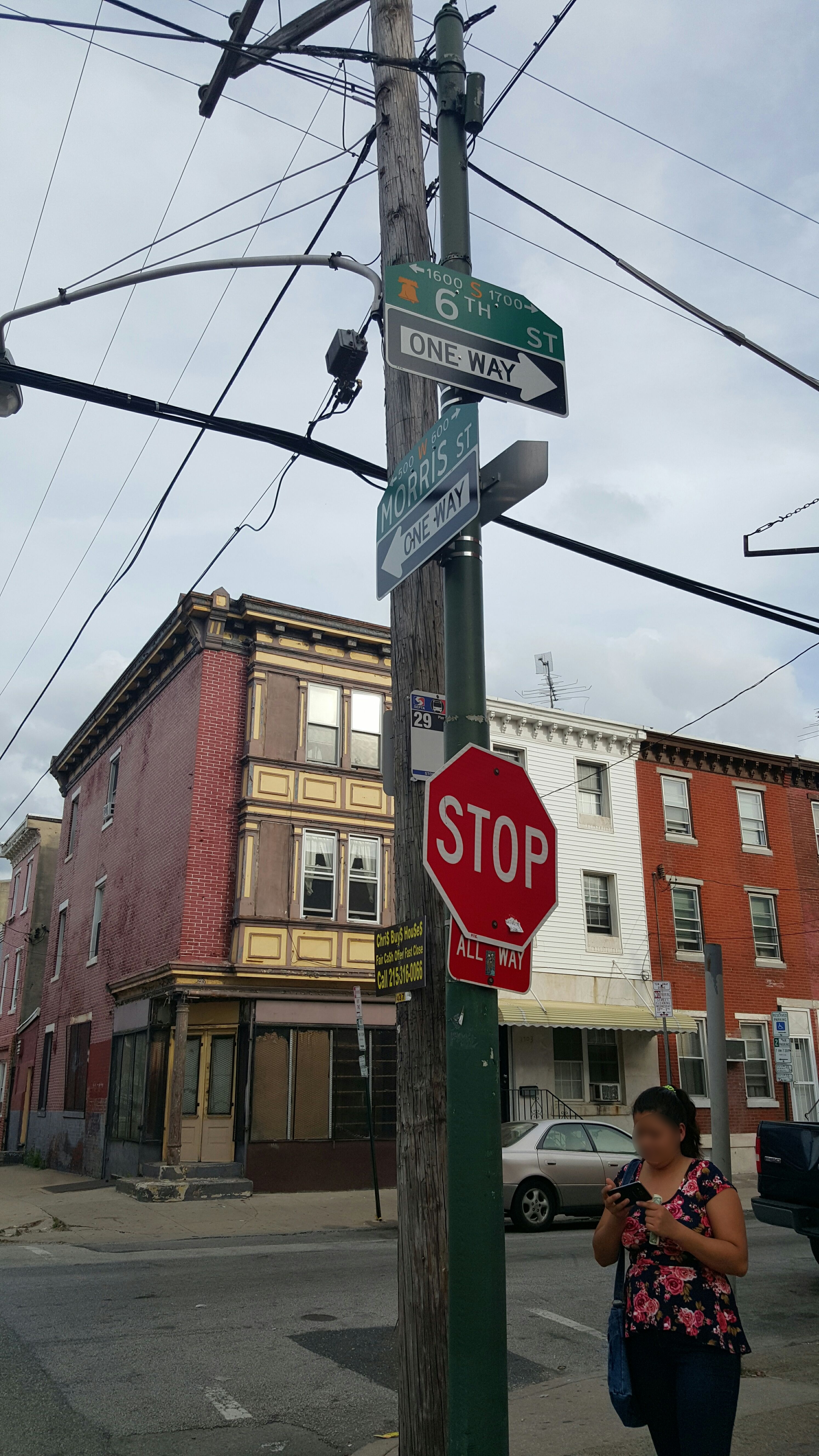 Taken by Daniel M.
See Morris St & 6th St stop, Philadelphia, on the map
Public transit to Morris St & 6th St stop (ID: 24201) in Philadelphia
Looking for directions to Morris St & 6th St in Philadelphia, United States?
Download the Moovit App to find the current schedule and step-by-step directions for Bus, Metro or Train routes that pass through Morris St & 6th St.
Looking for the nearest stops closest to Morris St & 6th St ? Check out this list of closest stops to your destination: 7th St & Morris St ; Morris St & 5th St; 8th St & Morris St ; Tasker Morris.
Bus: 47, 47M, 57, 29.Train: MED, PAO, TRE.Metro: B1.
We make riding on public transit to Morris St & 6th St easy, which is why over 1.7 billion users, including users in Philadelphia trust Moovit as the best app for public transit.
Use the app to navigate to popular places including to the airport, hospital, stadium, grocery store, mall, coffee shop, school, college, and university.
Morris St & 6th St stop’s code is 24201
The first line to this stop is 29, at 5:02 AM, and the last line is 29 at 2:42 AM.
604 Morris St, Philadelphia, PA, USA
This stop serves SEPTA’s lines
- 7th St & Morris St ,
- Morris St & 5th St,
- 8th St & Morris St
Bus stops near Morris St & 6th St stop
- Tasker Morris
Metro station near Morris St & 6th St station
- 19th St & South St ,
- Market St at 16th St,
- 9th St & Main St - Mbfs,
- Welsh Rd & Grant Av ,
- Conshohocken,
- JFK Blvd at 17th St#,
- Girard Station,
- Sharon Hill,
- Marshall Rd & Church Ln,
- Walnut St & 16th St,
- Baltimore Av & 55th St,
- 10th St & Duncannon Av,
- Parkside Av & 49th St - Fs,
- Roosevelt Blvd & 9th St,
- 5th St & Fisher Av ,
- Roosevelt Blvd & Haldeman Av,
- Lansdale,
- Manayunk,
- Kroc Center,
- Broad St & Susquehanna Av
Popular public transit stations in Philadelphia
Get around Philadelphia by public transit!
Traveling around Philadelphia has never been so easy. See step by step directions as you travel to any attraction, street or major public transit station. View bus and train schedules, arrival times, service alerts and detailed routes on a map, so you know exactly how to get to anywhere in Philadelphia.
When traveling to any destination around Philadelphia use Moovit's Live Directions with Get Off Notifications to know exactly where and how far to walk, how long to wait for your line, and how many stops are left. Moovit will alert you when it's time to get off — no need to constantly re-check whether yours is the next stop.
Wondering how to use public transit in Philadelphia or how to pay for public transit in Philadelphia? Moovit public transit app can help you navigate your way with public transit easily, and at minimum cost. It includes public transit fees, ticket prices, and costs. Looking for a map of Philadelphia public transit lines? Moovit public transit app shows all public transit maps in Philadelphia with all Bus, Train, Metro, Light Rail and Cable Car routes and stops on an interactive map.
Philadelphia has 5 transit type(s), including: Bus, Train, Metro, Light Rail and Cable Car, operated by several transit agencies, including SEPTA Subway, SEPTA Rail, SEPTA, SEPTA Trolley, NJ Transit Rail, NJ Transit, Port Authority Transit Corporation, Navy Yard, Penn Transit, Drexel University, Pottstown Area Rapid Transit (PART), Fullington Tours, Chescobus, Amtrak and Greyhound-us