Moss St stop - Friday schedule
| Line | Direction | Time |
|---|---|---|
| 27 | Auburn Mall | 5:23 AM |
| 27 | Auburn Mall | 6:10 AM |
| 27 | Auburn Mall | 6:56 AM |
| 27 | Auburn Mall | 7:43 AM |
| 27 | Auburn Mall | 8:28 AM |
| 27 | Auburn Mall | 9:14 AM |
| 27 | Auburn Mall | 9:59 AM |
| 27 | Auburn Mall | 10:45 AM |
| 27 | Auburn Mall | 11:15 AM |
| 27 | Auburn Mall | 11:45 AM |
| 27 | Auburn Mall | 12:15 PM |
| 27 | Auburn Mall | 12:46 PM |
| 27 | Auburn Mall | 1:17 PM |
| 27 | Auburn Mall | 1:47 PM |
| 27 | Auburn Mall | 2:18 PM |
| 27 | Auburn Mall | 2:49 PM |
| 27 | Auburn Mall | 3:19 PM |
| 27 | Auburn Mall | 3:49 PM |
| 27 | Auburn Mall | 4:19 PM |
| 27 | Auburn Mall | 4:49 PM |
| 27 | Auburn Mall | 5:20 PM |
| 27 | Auburn Mall | 5:50 PM |
| 27 | Auburn Mall | 6:16 PM |
| 27 | Auburn Mall | 6:45 PM |
| 27 | Auburn Mall | 7:15 PM |
Directions to Moss St stop (Worcester) with public transit
The following transit lines have routes that pass near Moss St
 Bus: 27.
How to get to Moss St stop by bus?
Click on the bus route to see step by step directions with maps, line arrival times and updated time schedules.
Bus stops near Moss St stop in Worcester
- Keen St, 2 min walk,
Bus lines to Moss St stop in Worcester
- 27, Central Hub,
What are the closest stations to Moss St?
The closest stations to Moss St are:
- Keen St is 84 yards away, 2 min walk.
Which bus line stops near Moss St?
27 (Central Hub→Auburn Mall)
What’s the nearest bus station to Moss St in Worcester?
The nearest bus station to Moss St in Worcester is Keen St. It’s a 2 min walk away.
What time is the first bus to Moss St in Worcester?
The 27 is the first bus that goes to Moss St in Worcester. It stops nearby at 5:20 AM.
What time is the last bus to Moss St in Worcester?
The 27 is the last bus that goes to Moss St in Worcester. It stops nearby at 9:42 PM.
Moss St station
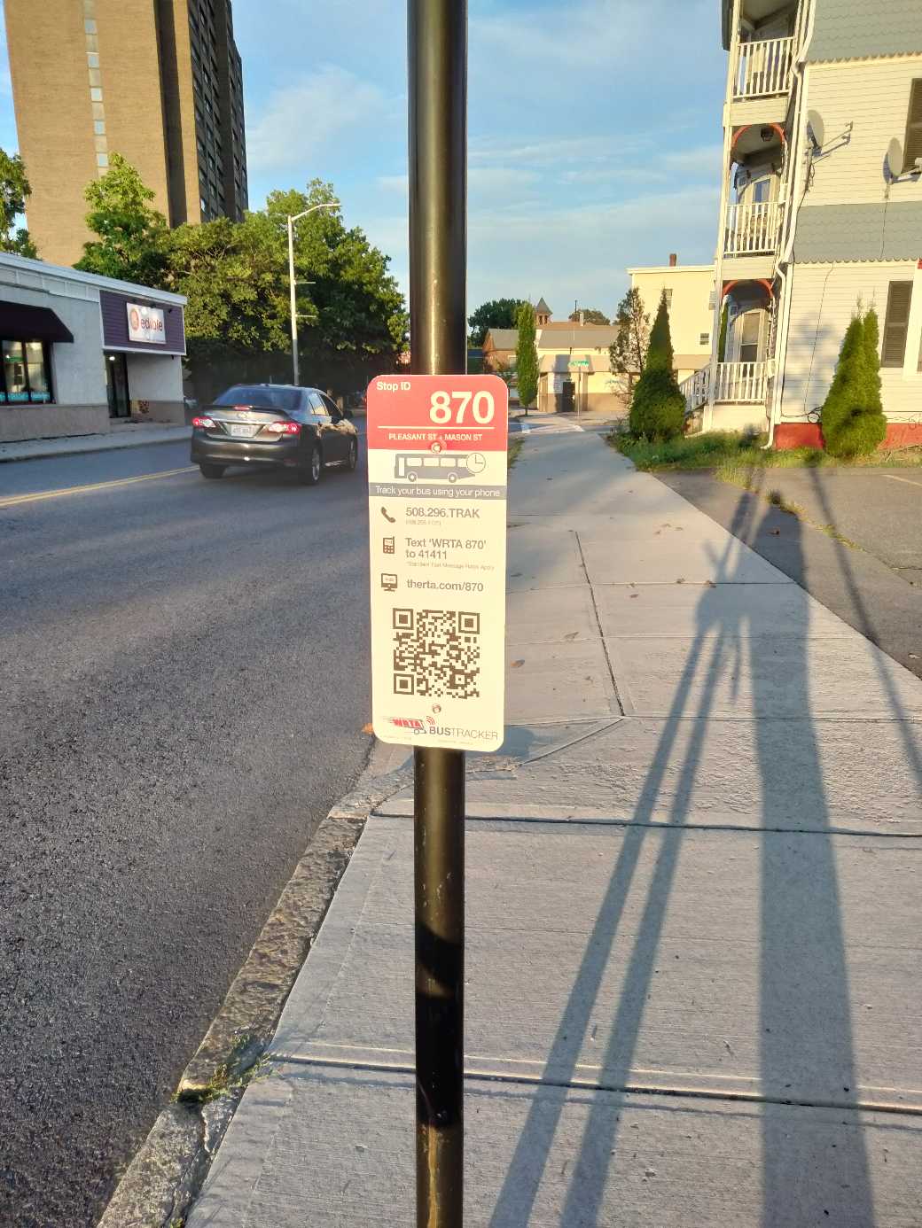 Taken by Anonymous
See Moss St stop, Worcester, on the map
Public transit to Moss St stop in Worcester
Looking for directions to Moss St in Worcester, United States?
Download the Moovit App to find the current schedule and step-by-step directions for Bus or Train routes that pass through Moss St.
Looking for the nearest stops closest to Moss St ? Check out this list of closest stops to your destination: Keen St.
Bus: 27.
We make riding on public transit to Moss St easy, which is why over 1.5 million users, including users in Worcester trust Moovit as the best app for public transit.
Use the app to navigate to popular places including to the airport, hospital, stadium, grocery store, mall, coffee shop, school, college, and university.
The first line to this stop is 27, at 5:23 AM, and the last line is 27 at 9:41 PM.
This stop serves WRTA’s lines
- Keen St
Bus stop near Moss St stop
- Brewster Senior Housing/Coa,
- N Harvard St @ Western Ave,
- Edson St And Wallace St,
- Brookline Hills,
- Lexington St @ Marion St,
- Back Bay - South End,
- Campello Mbta Station,
- Essex Street & Newbury Street,
- Broadway @ Gladstone St,
- Belmont St @ Cushing St,
- Congress St @ Haymarket Sta,
- Hancock St @ Beale St,
- Ashmont / Peabody Sq.,
- Tremont St @ Boylston Station,
- Haverhill Commons, Target,
- Washington St @ Hanover St,
- Chestnut St @ Chestnut Ave,
- Treble Cove Plaza (199 Boston Rd),
- 285 Tremont St,
- Chinatown
Popular public transit stations in Worcester
Get around Worcester by public transit!
Traveling around Worcester has never been so easy. See step by step directions as you travel to any attraction, street or major public transit station. View bus and train schedules, arrival times, service alerts and detailed routes on a map, so you know exactly how to get to anywhere in Worcester.
When traveling to any destination around Worcester use Moovit's Live Directions with Get Off Notifications to know exactly where and how far to walk, how long to wait for your line, and how many stops are left. Moovit will alert you when it's time to get off — no need to constantly re-check whether yours is the next stop.
Wondering how to use public transit in Worcester or how to pay for public transit in Worcester? Moovit public transit app can help you navigate your way with public transit easily, and at minimum cost. It includes public transit fees, ticket prices, and costs. Looking for a map of Worcester public transit lines? Moovit public transit app shows all public transit maps in Worcester with all Bus, Train, Subway and Ferry routes and stops on an interactive map.
Boston has 4 transit type(s), including: Bus, Train, Subway and Ferry, operated by several transit agencies, including MBTA, Southeastern Regional Transit Authority, MetroWest Regional Transit Authority, Rhode Island Public Transit Authority, WRTA, Lowell Regional Transit Authority, Merrimack Valley Transit, Montachusett Regional Transit Authority, Cape Cod Regional Transit Authority, Brockton Area Transit Authority, Martha's Vineyard Transit Authority, the WAVE - Nantucket Regional Transit Authority, GATRA, Cape Ann Transportation Authority and Massport