Directions to Multnomah Falls (Portland, OR) with public transportation
The following transit lines have routes that pass near Multnomah Falls
 Bus: COLUMBIA GORGE EXPRESS.
How to get to Multnomah Falls by bus?
Click on the bus route to see step by step directions with maps, line arrival times and updated time schedules.
Bus stop near Multnomah Falls in Portland, OR
- Multnomah Falls (Westbound), 3 min walk,
Bus lines to Multnomah Falls in Portland, OR
- COLUMBIA GORGE EXPRESS, Columbia Gorge Express,
What are the closest stations to Multnomah Falls?
The closest stations to Multnomah Falls are:
- Multnomah Falls (Westbound) is 201 yards away, 3 min walk.
Which bus line stops near Multnomah Falls?
COLUMBIA GORGE EXPRESS (Columbia Gorge Express)
What’s the nearest bus station to Multnomah Falls in Portland, OR?
The nearest bus station to Multnomah Falls in Portland, OR is Multnomah Falls (Westbound). It’s a 3 min walk away.
What time is the first bus to Multnomah Falls in Portland, OR?
The COLUMBIA GORGE EXPRESS is the first bus that goes to Multnomah Falls in Portland, OR. It stops nearby at 7:50 AM.
What time is the last bus to Multnomah Falls in Portland, OR?
The COLUMBIA GORGE EXPRESS is the last bus that goes to Multnomah Falls in Portland, OR. It stops nearby at 6:05 PM.
See Multnomah Falls, Portland, OR, on the map
Public Transit to Multnomah Falls in Portland, OR
Wondering how to get to Multnomah Falls in Portland, OR? Moovit helps you find the best way to get to Multnomah Falls with step-by-step directions from the nearest public transit station.
Moovit provides free maps and live directions to help you navigate through your city. View schedules, routes, timetables, and find out how long does it take to get to Multnomah Falls in real time.
Looking for the nearest stop or station to Multnomah Falls? Check out this list of stops closest to your destination: Multnomah Falls (Westbound).
Bus: COLUMBIA GORGE EXPRESS.
Want to see if there’s another route that gets you there at an earlier time? Moovit helps you find alternative routes or times. Get directions from and directions to Multnomah Falls easily from the Moovit App or Website.
We make riding to Multnomah Falls easy, which is why over 1.5 million users, including users in Portland, OR, trust Moovit as the best app for public transit. You don’t need to download an individual bus app or train app, Moovit is your all-in-one transit app that helps you find the best bus time or train time available.
For information on prices of bus, costs and ride fares to Multnomah Falls, please check the Moovit app.
Use the app to navigate to popular places including to the airport, hospital, stadium, grocery store, mall, coffee shop, school, college, and university.
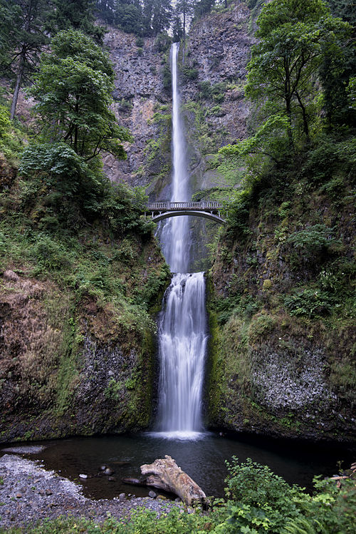
Multnomah Falls Address: East Historic Columbia River Highway street in Portland, OR
- Multnomah Falls Overlook,
- Multnomah Falls Snack Bar,
- Blue Star Memorial Highway,
- The Rocks Are Rollin',
- Exit 31/Multnomah Falls/E,
- Wahkeena Falls,
- Cape Horn Trailhead,
- Cape Horn Estate,
- Strawberry Island,
- Freedom Construction,
- McClure & Sons,
- North Bonneville DGC,
- Post Office,
- North Bonneville,
- Washougal Bike Park,
- Mindful Massage,
- Xtreme Effectx Airbrushed Artistry & Pro Bodypainting,
- North Star Labrador's,
- Exterior Wood,
- A and M Manufacturing
Places Near Multnomah Falls (Portland, OR)
- Crystal Ballroom, Portland,
- Ilani Casino,
- Legacy Emanuel Medical Center, Portland,
- Powell's City of Books (Powell's Books), Portland,
- Intel Shuttle - Orenco MAX, Hillsboro,
- Portland Art Museum, Portland,
- OHSU, Portland,
- Keller Auditorium, Portland,
- Washington Square Mall, Tigard,
- Pearl District, Portland,
- Spirit Mountain Casino,
- Powell's City of Books, Portland,
- Moda Center, Portland,
- Oregon Zoo, Portland,
- Multnomah County Courthouse, Portland,
- Portland VA Medical Center, Portland,
- Gov. Tom McCall Waterfront Park, Portland,
- Portland Union Station, Portland,
- OHSU, Portland,
- Oregon Convention Center, Portland
How to get to popular places in Portland, OR with public transit
Get around Portland, OR by public transit!
Traveling around Portland, OR has never been so easy. See step by step directions as you travel to any attraction, street or major public transit station. View bus and train schedules, arrival times, service alerts and detailed routes on a map, so you know exactly how to get to anywhere in Portland, OR.
When traveling to any destination around Portland, OR use Moovit's Live Directions with Get Off Notifications to know exactly where and how far to walk, how long to wait for your line, and how many stops are left. Moovit will alert you when it's time to get off — no need to constantly re-check whether yours is the next stop.
Wondering how to use public transit in Portland, OR or how to pay for public transit in Portland, OR? Moovit public transit app can help you navigate your way with public transit easily, and at minimum cost. It includes public transit fees, ticket prices, and costs. Looking for a map of Portland, OR public transit lines? Moovit public transit app shows all public transit maps in Portland, OR with all Bus, Train, Light Rail, Ferry, Streetcar and Gondola routes and stops on an interactive map.
Portland, OR has 6 transit type(s), including: Bus, Train, Light Rail, Ferry, Streetcar and Gondola, operated by several transit agencies, including Mount Adams Transportation Service, RiverCities Transit, TriMet , TriMet , TriMet, Portland Streetcar, Portland Aerial Tram, C-TRAN, Multnomah County Transit, Washington Park, SMART, Canby Area Transit, South Clackamas Transportation District, The Wave and Lincoln County Transit