How to get to My CP & Me by bus?
Click on the bus route to see step by step directions with maps, line arrival times and updated time schedules.
From The Dehaan Estate, Indianapolis City (Balance)
84 minFrom My Indy Dental Center, Indianapolis City (Balance)
41 minFrom Blisspoint Inn@NW Indi, Indianapolis City (Balance)
106 minFrom Messiah Cares Child Development Center, Indianapolis City (Balance)
37 minFrom Michigan Rd & 96th St, Indianapolis City (Balance)
114 minFrom Irium, Indianapolis City (Balance)
28 minFrom Billy Blades Hair Salon (Unique-N-Favor Black Hair Salon), Indianapolis City (Balance)
27 minFrom Circle City Property Maintenance, Indianapolis City (Balance)
97 minFrom Ka-NE Sushi, Indianapolis City (Balance)
38 minFrom Social Security, Indianapolis City (Balance)
43 min
Bus stops near My CP & Me in Indianapolis City (Balance)
Bus lines to My CP & Me in Indianapolis City (Balance)
What are the closest stations to My CP & Me?
The closest stations to My CP & Me are:
- Keystone Crossing & Woodfield Crossing B is 137 yards away, 3 min walk.
- Keystone Crossing & Commerce Crossing is 143 yards away, 2 min walk.
Which bus line stops near My CP & Me?
26 (Keystone Crossing)
What’s the nearest bus station to My CP & Me in Indianapolis City (Balance)?
The nearest bus station to My CP & Me in Indianapolis City (Balance) is Keystone Crossing & Woodfield Crossing B. It’s a 3 min walk away.
What time is the first bus to My CP & Me in Indianapolis City (Balance)?
The 82 is the first bus that goes to My CP & Me in Indianapolis City (Balance). It stops nearby at 5:14 AM.
What time is the last bus to My CP & Me in Indianapolis City (Balance)?
The 26 is the last bus that goes to My CP & Me in Indianapolis City (Balance). It stops nearby at 11:27 PM.
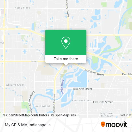
See My CP & Me, Indianapolis City (Balance), on the map
Public Transit to My CP & Me in Indianapolis City (Balance)
Wondering how to get to My CP & Me in Indianapolis City (Balance)? Moovit helps you find the best way to get to My CP & Me with step-by-step directions from the nearest public transit station.
Moovit provides free maps and live directions to help you navigate through your city. View schedules, routes, timetables, and find out how long does it take to get to My CP & Me in real time.
Looking for the nearest stop or station to My CP & Me? Check out this list of stops closest to your destination: Keystone Crossing & Woodfield Crossing B; Keystone Crossing & Commerce Crossing.
Bus: 26, 82.
Want to see if there’s another route that gets you there at an earlier time? Moovit helps you find alternative routes or times. Get directions from and directions to My CP & Me easily from the Moovit App or Website.
We make riding to My CP & Me easy, which is why over 1.5 million users, including users in Indianapolis City (Balance), trust Moovit as the best app for public transit. You don’t need to download an individual bus app or train app, Moovit is your all-in-one transit app that helps you find the best bus time or train time available.
For information on prices of bus, costs and ride fares to My CP & Me, please check the Moovit app.
Use the app to navigate to popular places including to the airport, hospital, stadium, grocery store, mall, coffee shop, school, college, and university.
My CP & Me Address: 8465 Keystone Xing Indianapolis, IN 46240 street in Indianapolis City (Balance)
- Aesthetic Infusions,
- Precised Towing and Roadside Assistance,
- Consult One Solutions,
- Better Yet,
- Igms,
- MJW Mortgage,
- Twania Mobile Notary,
- Integrative Psychotherapy at the Crossing,
- Ringmaker, LLC,
- Brand Name Walk-in Tubs,
- At Home Wellness Group,
- Kent's Son Erin L Shipley CPA,
- Horizon Bank,
- DXL Coverall,
- Dragonfly 360 Wellness,
- Marc Lopez Law Firm,
- Transitions Care,
- Keystone At The Crossing,
- Gatesy Real Estate,
- Resource Planning Group
Places Near My CP & Me (Indianapolis City (Balance))
- THE BALT, Indianapolis City (Balance),
- Methodist Hospital of Indianapolis, Indianapolis City (Balance),
- Train Ride At Castleton Mall, Indianapolis City (Balance),
- Eskenazi Hospital, Indianapolis City (Balance),
- Lilly Corporate Center (Eli Lilly & Co), Indianapolis City (Balance),
- Castleton Square Mall, Indianapolis,
- St. Vincent entrance #1, Indianapolis City (Balance),
- Indiana, Indianapolis City (Balance),
- Jersey Barn, Indianapolis City (Balance),
- Indianapolis Motor Speedway, Speedway,
- Lucas Oil Stadium, Indianapolis City (Balance),
- Indianapolis Airport Zone 2, Indianapolis City (Balance),
- Indiana Convention Center, Indianapolis City (Balance),
- Cotter's Massage Parlor With Happy Endings, Indianapolis City (Balance),
- I-465 / I-65 Interchange, Indianapolis City (Balance),
- Plainfield, IN, Plainfield,
- Gainbridge Fieldhouse, Indianapolis City (Balance),
- I U Health Methodist Hospital, Indianapolis City (Balance),
- 119 W 19th St Parking, Indianapolis City (Balance),
- St. Vincent Hospital - Indianapolis, Indianapolis City (Balance)
How to get to popular places in Indianapolis with public transit
Get around Indianapolis City (Balance) by public transit!
Traveling around Indianapolis City (Balance) has never been so easy. See step by step directions as you travel to any attraction, street or major public transit station. View bus and train schedules, arrival times, service alerts and detailed routes on a map, so you know exactly how to get to anywhere in Indianapolis City (Balance).
When traveling to any destination around Indianapolis City (Balance) use Moovit's Live Directions with Get Off Notifications to know exactly where and how far to walk, how long to wait for your line, and how many stops are left. Moovit will alert you when it's time to get off — no need to constantly re-check whether yours is the next stop.
Wondering how to use public transit in Indianapolis City (Balance) or how to pay for public transit in Indianapolis City (Balance)? Moovit public transit app can help you navigate your way with public transit easily, and at minimum cost. It includes public transit fees, ticket prices, and costs. Looking for a map of Indianapolis City (Balance) public transit lines? Moovit public transit app shows all public transit maps in Indianapolis City (Balance) with all bus routes and stops on an interactive map.
Indianapolis has 1 transit type(s), including: bus, operated by several transit agencies, including IndyGo, FlixBus-us and Greyhound-us