How to get to My Computer Bytes by bus?
Click on the bus route to see step by step directions with maps, line arrival times and updated time schedules.
From W Lake Mead Blvd / N Martin Luther King Blvd, Las Vegas
45 minFrom Four Seasons Dr & Las Vegas Blvd S, Paradise
62 minFrom Jockey Club Las Vegas, Paradise
58 minFrom Palm Downtown Mortuary & Cemetery, Las Vegas
63 minFrom Allegiant Stadium, Paradise
61 minFrom Post Road & Decatur, Las Vegas, Paradise
66 minFrom Caesars Forum, Paradise
51 minFrom Vanderpump Cocktail Garden, Paradise
53 minFrom Bonnie & Clyde Death Car, Las Vegas
54 minFrom Santa Fe Station Hotel & Casino, Las Vegas
40 min
Bus stops near My Computer Bytes in Las Vegas
Bus lines to My Computer Bytes in Las Vegas
What are the closest stations to My Computer Bytes?
The closest stations to My Computer Bytes are:
- Wb Charleston After Redwood is 309 yards away, 4 min walk.
- Sb Rainbow After Charleston is 351 yards away, 5 min walk.
- Eb Alta After Rainbow is 806 yards away, 10 min walk.
Which bus lines stop near My Computer Bytes?
These bus lines stop near My Computer Bytes: 101, 206.
What’s the nearest bus station to My Computer Bytes in Las Vegas?
The nearest bus station to My Computer Bytes in Las Vegas is Wb Charleston After Redwood. It’s a 4 min walk away.
What time is the first bus to My Computer Bytes in Las Vegas?
The 206 is the first bus that goes to My Computer Bytes in Las Vegas. It stops nearby at 3:09 AM.
What time is the last bus to My Computer Bytes in Las Vegas?
The 206 is the last bus that goes to My Computer Bytes in Las Vegas. It stops nearby at 3:53 AM.
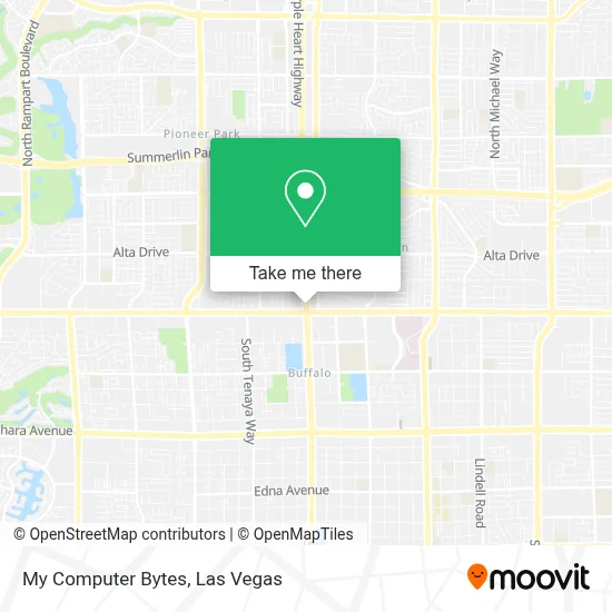
See My Computer Bytes, Las Vegas, on the map
Public Transit to My Computer Bytes in Las Vegas
Wondering how to get to My Computer Bytes in Las Vegas? Moovit helps you find the best way to get to My Computer Bytes with step-by-step directions from the nearest public transit station.
Moovit provides free maps and live directions to help you navigate through your city. View schedules, routes, timetables, and find out how long does it take to get to My Computer Bytes in real time.
Looking for the nearest stop or station to My Computer Bytes? Check out this list of stops closest to your destination: Wb Charleston After Redwood; Sb Rainbow After Charleston; Eb Alta After Rainbow.
Bus: 101, 206, 207.
Want to see if there’s another route that gets you there at an earlier time? Moovit helps you find alternative routes or times. Get directions from and directions to My Computer Bytes easily from the Moovit App or Website.
We make riding to My Computer Bytes easy, which is why over 1.7 million users, including users in Las Vegas, trust Moovit as the best app for public transit. You don’t need to download an individual bus app or train app, Moovit is your all-in-one transit app that helps you find the best bus time or train time available.
For information on prices of bus, costs and ride fares to My Computer Bytes, please check the Moovit app.
Use the app to navigate to popular places including to the airport, hospital, stadium, grocery store, mall, coffee shop, school, college, and university.
My Computer Bytes Address: 1033 S Rainbow Blvd street in Las Vegas
- Castle Collections,
- Charleston / Rainbow,
- Nevada DMV,
- Chique Rock Shop,
- Rainbow & Alta,
- Amazing Thai Massage with Wendy,
- S Tenaya Way / W Charleston Blvd,
- Bonanza High School,
- W. Charleston CSN DRC,
- College of Southern Nevada,
- Vandorne Landscape and Design,
- College Of Southern Nevada Charleston Campus,
- Clark County Library,
- Aflac,
- Magical Forest at Opportunity Village,
- Torrey Pines Rehabilitation,
- DSR Tools,
- Zombie Bash,
- Garside Junior High School,
- Red Rock Harley Davidson
Places Near My Computer Bytes (Las Vegas)
- Area15, Las Vegas,
- Zak Bagans Haunted Museum, Las Vegas,
- Las Vegas South Premium Outlets, Enterprise,
- The Neon Museum, Las Vegas,
- Trump International Hotel Las Vegas, Paradise,
- Las Vegas North Premium Outlets, Las Vegas,
- Arte Museum Las Vegas, Paradise,
- The Deuce Bus Stop at Fremont St, Las Vegas,
- Omega Mart, Las Vegas,
- Walmart Supercenter, Las Vegas,
- Walmart, Las Vegas,
- Lee Canyon, Las Vegas,
- Town Square, Enterprise,
- Allegiant Stadium, Paradise,
- Meow Wolf - Las Vegas (Meow Wolf's Omega Mart), Las Vegas,
- The Palms Casino Resort, Paradise,
- Welcome To Fabulous Las Vegas Sign, Paradise,
- Gold & Silver Pawn Shop, Las Vegas,
- Las Vegas Premium Outlets-North, Enterprise,
- Koolsville Tattoos, Las Vegas
How to get to popular places in Las Vegas with public transit
Get around Las Vegas by public transit!
Traveling around Las Vegas has never been so easy. See step by step directions as you travel to any attraction, street or major public transit station. View bus and train schedules, arrival times, service alerts and detailed routes on a map, so you know exactly how to get to anywhere in Las Vegas.
When traveling to any destination around Las Vegas use Moovit's Live Directions with Get Off Notifications to know exactly where and how far to walk, how long to wait for your line, and how many stops are left. Moovit will alert you when it's time to get off — no need to constantly re-check whether yours is the next stop.
Wondering how to use public transit in Las Vegas or how to pay for public transit in Las Vegas? Moovit public transit app can help you navigate your way with public transit easily, and at minimum cost. It includes public transit fees, ticket prices, and costs. Looking for a map of Las Vegas public transit lines? Moovit public transit app shows all public transit maps in Las Vegas with all Bus and Monorail routes and stops on an interactive map.
Las Vegas has 2 transit type(s), including: Bus and Monorail, operated by several transit agencies, including RTCSNV, City of Las Vegas, Alvand Transportation, Vegas Airporter, Las Vegas Monorail, FlixBus-us and Greyhound-us