How to get to NSS Connect by bus?
Click on the bus route to see step by step directions with maps, line arrival times and updated time schedules.
From Kings Row and Crown Drive, Reno
81 minFrom Image Drywall and Paint, Sparks
76 minFrom Carniceria 3 Amigos, Reno
63 minFrom J W Welding Supplies & Tools, Sparks
43 minFrom Crafts & More, Reno
76 minFrom Lena Juniper Elementary School, Sparks
73 minFrom Air Arc Welding Supply, Sparks
48 minFrom STARBUCKS, Reno
55 minFrom Atm, Sparks
63 minFrom Hug High School, Reno
67 min
Bus stop near NSS Connect in Reno
- S Mccarran Boulevard And Longley Lane, 16 min walk,VIEW
Bus lines to NSS Connect in Reno
- 54, Rtc Centennial Plaza Station,VIEW
What are the closest stations to NSS Connect?
The closest stations to NSS Connect are:
- S Mccarran Boulevard And Longley Lane is 1295 yards away, 16 min walk.
Which bus lines stop near NSS Connect?
These bus lines stop near NSS Connect: 1, 12, 54.
What time is the first bus to NSS Connect in Reno?
The 54 is the first bus that goes to NSS Connect in Reno. It stops nearby at 5:49 AM.
What time is the last bus to NSS Connect in Reno?
The 54 is the last bus that goes to NSS Connect in Reno. It stops nearby at 7:04 PM.
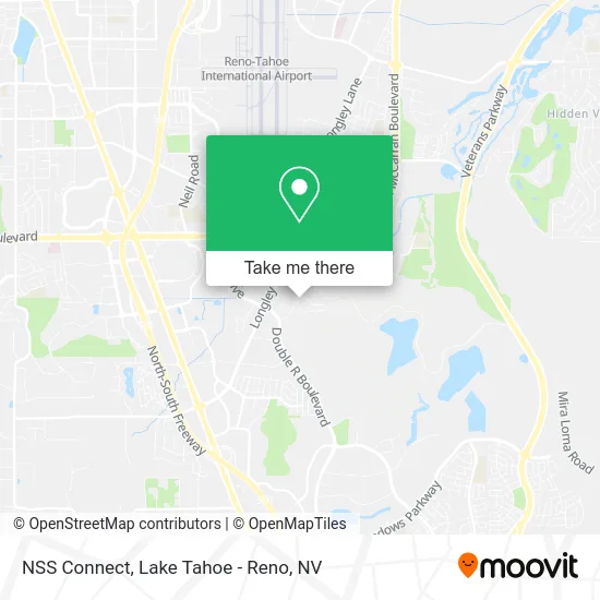
See NSS Connect, Reno, on the map
Public Transit to NSS Connect in Reno
Wondering how to get to NSS Connect in Reno? Moovit helps you find the best way to get to NSS Connect with step-by-step directions from the nearest public transit station.
Moovit provides free maps and live directions to help you navigate through your city. View schedules, routes, timetables, and find out how long does it take to get to NSS Connect in real time.
Looking for the nearest stop or station to NSS Connect? Check out this list of stops closest to your destination: S Mccarran Boulevard And Longley Lane.
Bus: 1, 12, 54.
Want to see if there’s another route that gets you there at an earlier time? Moovit helps you find alternative routes or times. Get directions from and directions to NSS Connect easily from the Moovit App or Website.
We make riding to NSS Connect easy, which is why over 1.5 million users, including users in Reno, trust Moovit as the best app for public transit. You don’t need to download an individual bus app or train app, Moovit is your all-in-one transit app that helps you find the best bus time or train time available.
For information on prices of bus, costs and ride fares to NSS Connect, please check the Moovit app.
Use the app to navigate to popular places including to the airport, hospital, stadium, grocery store, mall, coffee shop, school, college, and university.
NSS Connect Address: 3700 Barron Way Reno, NV 89511 street in Reno
- Back To Health Chiropractic and Wellness,
- Signature Title Company Reno,
- Equity Protect,
- Real Choices Women's Center,
- Simon Bradbury - LPT Realty,
- Arevalo Group - Keller Williams Group,
- Team One Home Loans,
- Texas Real Estate Commission,
- Northern Nevada Homes,
- Kenneth Charles - Financial Advisor, Ameriprise Financial Services,
- Truckee Meadows Fire Protection District,
- TMFPD,
- Danielle Kirby - CMG Home Loans,
- Lee Stevens - Realty One Group Eminence,
- Yolanda Foster - CMG Financial,
- Joell Stiner - CMG Home Loans,
- Rudy Garcia - CMG Financial,
- Maria Dulay - CMG Home Loans Mortgage,
- Michelle Moore-Shaman -CMG Home Loans Mortgage Loan,
- Mike Keck - CMG Financial
Places Near NSS Connect (Reno)
- Peppermill, Reno,
- DMV, Reno,
- Tesla, Carson City,
- Boreal Mountain Resort, Truckee,
- Tesla, Reno,
- Emerald Bay, South Lake Tahoe,
- The Nugget Sparks - Tesla Destination, Sparks,
- Boomtown Hotel, Reno,
- Grand Sierra Resort, Reno,
- Mount Rose Ski Resort Entrance, Reno,
- Walmart Supercenter, Reno,
- Department of Motor Vehicles (DMV), Reno,
- Social Security Administration, Reno,
- Reno, Nevada, Reno,
- Tesla, Reno,
- University of Nevada, Reno, Reno,
- Hidden Beach, Incline Village,
- 2777 usa Parkway, Sparks,
- The Summit (Summit Shopping Center), Reno,
- Meadowood Mall, Reno
How to get to popular places in Lake Tahoe - Reno, NV with public transit
Get around Reno by public transit!
Traveling around Reno has never been so easy. See step by step directions as you travel to any attraction, street or major public transit station. View bus and train schedules, arrival times, service alerts and detailed routes on a map, so you know exactly how to get to anywhere in Reno.
When traveling to any destination around Reno use Moovit's Live Directions with Get Off Notifications to know exactly where and how far to walk, how long to wait for your line, and how many stops are left. Moovit will alert you when it's time to get off — no need to constantly re-check whether yours is the next stop.
Wondering how to use public transit in Reno or how to pay for public transit in Reno? Moovit public transit app can help you navigate your way with public transit easily, and at minimum cost. It includes public transit fees, ticket prices, and costs. Looking for a map of Reno public transit lines? Moovit public transit app shows all public transit maps in Reno with all Bus and Train routes and stops on an interactive map.
Lake Tahoe - Reno, NV has 2 transit type(s), including: Bus and Train, operated by several transit agencies, including RTC RIDE, Tahoe Truckee Area Regional Transit, North Lake Tahoe Express - 24 hour advance reservations required, Tahoe Transportation District, Amtrak and Greyhound-us