How to get to Nadide Moda by bus?
Click on the bus route to see step by step directions with maps, line arrival times and updated time schedules.
From Batman Üniversitesi-Mühendislik Mimarlık Fakültesi, Bismil
42 minFrom Gazi Mesleki ve Teknik Anadolu Lisesi, Merkez
36 minFrom Batman Üniversitesi Batı Raman Kampüsü, Bismil
42 minFrom Batman Çayı, Merkez
41 minFrom Balpınar, Merkez
39 minFrom Cezeri Anadolu Lisesi, Merkez
39 minFrom Mezarlık, Merkez
30 minFrom Seyirtepe 3 Sitesi, Merkez
30 minFrom Şeyh Muhammed Zilani Türbesi, Beşiri
46 minFrom Al Alçı Fabrikası, Merkez
40 min
Bus stops near Nadide Moda in Merkez
Bus lines to Nadide Moda in Merkez
- 2, Belediye - Bayındırlık - Gültepe,VIEW
- 5, Petrolkent - Bölge Hastanesi - Tilmerç Toki,VIEW
- 8, Belediye-Şafak-Gap Mah.-Bölge,VIEW
- 10, Belediye-Yavuz Selim-Oduncular Sitesi,VIEW
- 11, Belediye - Körük - Afet Konutları,VIEW
- 12, Havalimanı✈︎,VIEW
- 13, Belediye - Organize Sanayi,VIEW
- 14, Belediye - Kültür - Bölge,VIEW
- 17, Belediye-Şafak-Siirt Çevreyolu-Çamlıtepe-Bölge,VIEW
- 18, Belediye - Memursen,VIEW
- 19, Belediye - Binatlı(Bilêyder),VIEW
- 20, Belediye - Bıçakçı,VIEW
- 22, Belediye - Diktepe - Akoba,VIEW
- 27, Belediye - Samanyolu - Üçyol,VIEW
- 28, Belediye - Bayraklı - Yaylıca,VIEW
- 29, Belediye - Çevrimova,VIEW
- 30, Belediye - Danalı - Kösetarla,VIEW
- 31, Belediye - Kocalar,VIEW
- 1A, Kuyubaşı Toki - Gültepe,VIEW
- 9A, Üniversite - Bölge Hastanesi,VIEW
What are the closest stations to Nadide Moda?
The closest stations to Nadide Moda are:
- Sanat Sokağı is 242 meters away, 4 min walk.
- Yaşar Kemal Cd is 335 meters away, 5 min walk.
- Sağlık Taksi is 388 meters away, 6 min walk.
- Kıbrıs Şehitleri-1 is 397 meters away, 6 min walk.
Which bus lines stop near Nadide Moda?
These bus lines stop near Nadide Moda: 13, 19, 20, 4, 9B.
What’s the nearest bus station to Nadide Moda in Merkez?
The nearest bus station to Nadide Moda in Merkez is Sanat Sokağı. It’s a 4 min walk away.
What time is the first bus to Nadide Moda in Merkez?
The 2 is the first bus that goes to Nadide Moda in Merkez. It stops nearby at 6:03 AM.
What time is the last bus to Nadide Moda in Merkez?
The 2 is the last bus that goes to Nadide Moda in Merkez. It stops nearby at 12:57 AM.
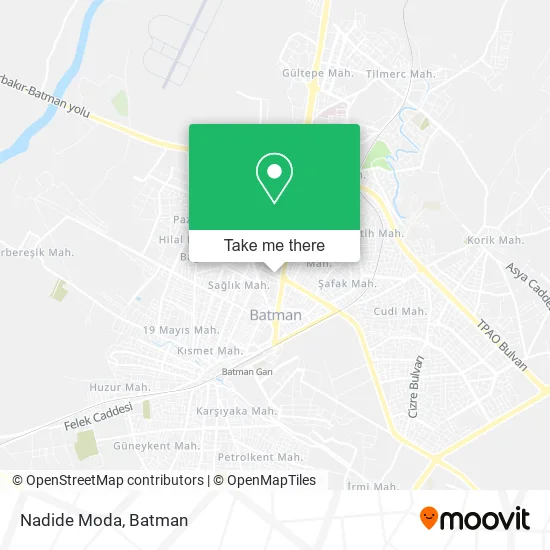
See Nadide Moda, Merkez, on the map
Public Transit to Nadide Moda in Merkez
Wondering how to get to Nadide Moda in Merkez? Moovit helps you find the best way to get to Nadide Moda with step-by-step directions from the nearest public transit station.
Moovit provides free maps and live directions to help you navigate through your city. View schedules, routes, timetables, and find out how long does it take to get to Nadide Moda in real time.
Looking for the nearest stop or station to Nadide Moda? Check out this list of stops closest to your destination: Sanat Sokağı; Yaşar Kemal Cd; Sağlık Taksi; Kıbrıs Şehitleri-1.
Bus: 13, 19, 20, 4, 9B, 2, 5, 8, 10, 11, 3, 15.
Want to see if there’s another route that gets you there at an earlier time? Moovit helps you find alternative routes or times. Get directions from and directions to Nadide Moda easily from the Moovit App or Website.
We make riding to Nadide Moda easy, which is why over 1.5 million users, including users in Merkez, trust Moovit as the best app for public transit. You don’t need to download an individual bus app or train app, Moovit is your all-in-one transit app that helps you find the best bus time or train time available.
For information on prices of bus, costs and ride fares to Nadide Moda, please check the Moovit app.
Use the app to navigate to popular places including to the airport, hospital, stadium, grocery store, mall, coffee shop, school, college, and university.
Nadide Moda Address: 80. Yıl Caddesi, 72060 Ziyagökalp, Batman street in Merkez
- Batman Av Bayi,
- İzzet Bayan Kuaför,
- Deniz Apt.,
- Dalsa Rezidans,
- Ans Gayrimenkul ve Danışmanlık,
- Vergi Dairesi Müdürlüğü,
- Şelale Parki,
- Batü Organizasyon & Çiçekçilik,
- Kuaför Rüzgar,
- Dalsa Yapi,
- Kardelen Market,
- Özlem Güzellik Salonu,
- Taha Gayrimekul ve İletişim,
- Koçer 72 Veteriner Kliniği,
- Batman Aile Ve Sosyal Politikalar İl Müdürlüğü,
- Sosyal Yardımlaşma ve Dayanışma Vakfı Baskanlığı,
- Le Paris Güzellik Salonu,
- Batman Çağdaş Gazetesi,
- LOTUS Reklam Çözümleri,
- Ercan Apt.
Places Near Nadide Moda (Merkez)
- 19 Mayıs Mahallesi, Merkez,
- Muş Alparslan Üniversitesi, Merkez,
- Van Erciş, Merkez,
- Batman Nevroz Alanı, Merkez,
- Bayındır Mah., Merkez,
- Batman Eğitim Ve Araştırma Hastanesi, Merkez,
- Ehmede Xane Taziye Evi, Merkez,
- Şırnak, Merkez,
- Mardin Sehir Merkezi, Merkez,
- Batman Otogarı, Merkez,
- A7, Merkez,
- Batman İlçe Otogarı, Merkez,
- Korik Mah., Merkez,
- Perşembe Pazarı, Merkez,
- Petrol City Avm, Merkez,
- Batman Organize Sanayi Bölgesi, Merkez,
- Slıbini Taziye Evi, Merkez,
- Tilmerc Mah., Merkez,
- Alyans Düğün Salonu, Merkez,
- Fatih Anadolu Lisesi, Merkez
How to get to popular places in Batman with public transit
Get around Merkez by public transit!
Traveling around Merkez has never been so easy. See step by step directions as you travel to any attraction, street or major public transit station. View bus and train schedules, arrival times, service alerts and detailed routes on a map, so you know exactly how to get to anywhere in Merkez.
When traveling to any destination around Merkez use Moovit's Live Directions with Get Off Notifications to know exactly where and how far to walk, how long to wait for your line, and how many stops are left. Moovit will alert you when it's time to get off — no need to constantly re-check whether yours is the next stop.
Wondering how to use public transit in Merkez or how to pay for public transit in Merkez? Moovit public transit app can help you navigate your way with public transit easily, and at minimum cost. It includes public transit fees, ticket prices, and costs. Looking for a map of Merkez public transit lines? Moovit public transit app shows all public transit maps in Merkez with all bus routes and stops on an interactive map.
Batman has 1 transit type(s), including: bus, operated by several transit agencies, including Batman Belediyesi