How to get to National Technical Information Service by bus?
Click on the bus route to see step by step directions with maps, line arrival times and updated time schedules.
From Defense Health Headquarters (DHHQ), Fairfax County
81 minFrom Lorton, VA - Amtrak Auto Train Station (LOR), Fairfax County
87 minFrom Navy Federal Credit Union, Fairfax County
134 minFrom Defense Health Agency Headquarters, Fairfax County
82 minFrom Inova Fairfax Hospital, Fairfax County
61 minFrom Inova employee Shuttle, Fairfax County
66 minFrom Vienna, Virginia, Fairfax County
80 minFrom Department of State SA 34, Fairfax County
147 minFrom Oakton, Virginia, Fairfax County
84 min
Bus stops near National Technical Information Service in Fairfax County
Bus lines to National Technical Information Service in Fairfax County
What are the closest stations to National Technical Information Service?
The closest stations to National Technical Information Service are:
- Braddock Rd+Pt Royal Rd is 780 yards away, 10 min walk.
- Braddock Rd @ Port Royal Rd is 790 yards away, 10 min walk.
- Braddock Rd And Queensberry Ave is 1084 yards away, 14 min walk.
- Americana Dr+Sauquoit Ln is 3167 yards away, 38 min walk.
Which bus line stops near National Technical Information Service?
306 (306 G.M.U. Via Braddock Rd)
What’s the nearest bus station to National Technical Information Service in Fairfax County?
The nearest bus stations to National Technical Information Service in Fairfax County are Braddock Rd+Pt Royal Rd and Braddock Rd @ Port Royal Rd. The closest one is a 10 min walk away.
What time is the first bus to National Technical Information Service in Fairfax County?
The F26 is the first bus that goes to National Technical Information Service in Fairfax County. It stops nearby at 5:40 AM.
What time is the last bus to National Technical Information Service in Fairfax County?
The F26 is the last bus that goes to National Technical Information Service in Fairfax County. It stops nearby at 7:42 PM.
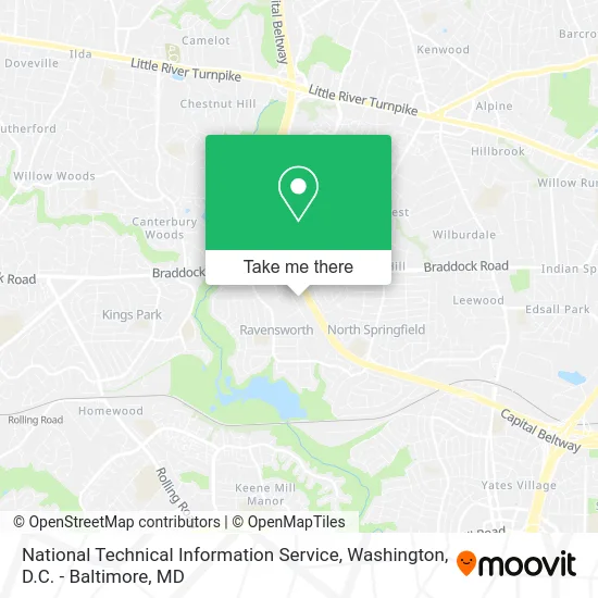
See National Technical Information Service, Fairfax County, on the map
Public Transit to National Technical Information Service in Fairfax County
Wondering how to get to National Technical Information Service in Fairfax County? Moovit helps you find the best way to get to National Technical Information Service with step-by-step directions from the nearest public transit station.
Moovit provides free maps and live directions to help you navigate through your city. View schedules, routes, timetables, and find out how long does it take to get to National Technical Information Service in real time.
Looking for the nearest stop or station to National Technical Information Service? Check out this list of stops closest to your destination: Braddock Rd+Pt Royal Rd; Braddock Rd @ Port Royal Rd; Braddock Rd And Queensberry Ave; Americana Dr+Sauquoit Ln.
Bus: 306, F28, F29, 495, F26.
Want to see if there’s another route that gets you there at an earlier time? Moovit helps you find alternative routes or times. Get directions from and directions to National Technical Information Service easily from the Moovit App or Website.
We make riding to National Technical Information Service easy, which is why over 1.5 million users, including users in Fairfax County, trust Moovit as the best app for public transit. You don’t need to download an individual bus app or train app, Moovit is your all-in-one transit app that helps you find the best bus time or train time available.
For information on prices of bus and metro, costs and ride fares to National Technical Information Service, please check the Moovit app.
Use the app to navigate to popular places including to the airport, hospital, stadium, grocery store, mall, coffee shop, school, college, and university.
National Technical Information Service Address: 5285 Port Royal Rd street in Fairfax County
- A Dog's Day Out,
- Paxton International,
- Boat Loan,
- Caliburger Food TR,
- Rothem Korean Presbyterian Church,
- Chiropractic Neurology,
- Paxton Van Lines, Inc.,
- Sang Rok Soo,
- Sky Zone - Springfield, VA,
- Eps,
- Dominion Mechanical Contractors,
- Church for All Nations,
- Master Auto Care,
- Hatchik Supply,
- 54B-A,
- Sky Zone,
- Sky Zone Trampoline Park,
- Everest Home Improvement,
- Nova Fitness,
- Pest Control Services Radiation
Places Near National Technical Information Service (Fairfax County)
- Sibley Memorial Hospital, Washington,
- National Zoo, Washington,
- Washington DC VA Medical Center, Washington,
- Basilica of the National Shrine, Washington,
- Georgetown, Washington,
- Pennsylvania Ave NW (3rd st and pennsylvania), Washington,
- M&T Bank Stadium, Baltimore,
- Westfield Montgomery Mall, Montgomery County,
- Marriott Marquis Washington, DC, Washington,
- Warner Theatre, Washington,
- National Theatre, Washington,
- The Anthem, Washington,
- National Museum of African American History and Culture, Washington,
- Museum Of The Bible, Washington,
- Capital One Arena, Washington,
- Amazon Hq2, Arlington County,
- PG Mall, Prince George's County,
- Rock Creek Tennis Center, Washington,
- Washington National Cathedral, Washington,
- Camden Yards, Baltimore
How to get to popular places in Washington, D.C. - Baltimore, MD with public transit
Get around Fairfax County by public transit!
Traveling around Fairfax County has never been so easy. See step by step directions as you travel to any attraction, street or major public transit station. View bus and train schedules, arrival times, service alerts and detailed routes on a map, so you know exactly how to get to anywhere in Fairfax County.
When traveling to any destination around Fairfax County use Moovit's Live Directions with Get Off Notifications to know exactly where and how far to walk, how long to wait for your line, and how many stops are left. Moovit will alert you when it's time to get off — no need to constantly re-check whether yours is the next stop.
Wondering how to use public transit in Fairfax County or how to pay for public transit in Fairfax County? Moovit public transit app can help you navigate your way with public transit easily, and at minimum cost. It includes public transit fees, ticket prices, and costs. Looking for a map of Fairfax County public transit lines? Moovit public transit app shows all public transit maps in Fairfax County with all Bus, Train, Metro, Light Rail and Ferry routes and stops on an interactive map.
Washington, D.C. - Baltimore, MD has 5 transit type(s), including: Bus, Train, Metro, Light Rail and Ferry, operated by several transit agencies, including WMATA, Montgomery County Ride On, Fairfax Connector, TheBus, PRTC, DASH - Alexandria, Arlington Transit (ART), RTA of Central Maryland, MDOT MTA, MDOT MTA Light RailLink, MDOT MTA Commuter Bus, MDOT MTA Local Bus, FXBGO!, Virginia Railway Express (VRE) and MARC