Directions to Natural Steps with public transportation
The following transit lines have routes that pass near Natural Steps
 Bus: 25.
How to get to Natural Steps by bus?
Click on the bus route to see step by step directions with maps, line arrival times and updated time schedules.
Which bus line stops near Natural Steps?
25
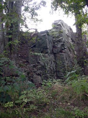
See Natural Steps on the map
Public Transportation to Natural Steps
Wondering how to get to Natural Steps? Moovit helps you find the best way to get to Natural Steps with step-by-step directions from the nearest public transit station.
Moovit provides free maps and live directions to help you navigate through your city. View schedules, routes, timetables, and find out how long does it take to get to Natural Steps in real time.
Bus: 25.
Want to see if there’s another route that gets you there at an earlier time? Moovit helps you find alternative routes or times. Get directions from and directions to Natural Steps easily from the Moovit App or Website.
We make riding to Natural Steps easy, which is why over 1.7 billion users, including users in Little Rock, trust Moovit as the best app for public transit. You don’t need to download an individual bus app or train app, Moovit is your all-in-one transit app that helps you find the best bus time or train time available.
For information on prices of bus, costs and ride fares to Natural Steps, please check the Moovit app.
Get to Natural Steps with public transit and pay for the ride in the Moovit app. In addition to all info you may need for your trip to Natural Steps, including live directions, real-time arrivals and fare prices, you can also buy public transit passes for your rides. No need for cash or paper tickets to get to Natural Steps - everything you need is accessible in the app with a click of the button.
Use the app to navigate to popular places including to the airport, hospital, stadium, grocery store, mall, coffee shop, school, college, and university.
Location: Little Rock
- Baptist Health, Med Tower II, Little Rock,
- Arkansas Children's Hospital, Little Rock,
- Alexander, AR, Little Rock,
- National Guard Professional Education Center (PEC),
- Greyhound station, North Little Rock,
- Uams Shuttle, Little Rock,
- Jacksonville, AR, Jacksonville,
- Amazon Fulfillment Center-DLR2, Little Rock,
- Bill and Hillary Clinton National Airport (LIT), Little Rock,
- Simmons Bank Arena, North Little Rock,
- Jack H. Wilson Water Treatment Plant, Little Rock,
- Cruisers Boutique, Little Rock,
- UAMS Medical Center, Little Rock,
- Cantrell Road, Little Rock,
- Morgan-Maumelle Exit 142,
- Harrah's Casino, North Little Rock,
- Little Rock Southwest High School, Little Rock,
- War Memorial Stadium, Little Rock,
- Cantrell @ Mississippi, Little Rock,
- Little Rock Central High school, Little Rock
How to get to popular places in Little Rock with public transit
Get around Little Rock by public transit!
Traveling around Little Rock has never been so easy. See step by step directions as you travel to any attraction, street or major public transit station. View bus and train schedules, arrival times, service alerts and detailed routes on a map, so you know exactly how to get to anywhere in Little Rock.
When traveling to any destination around Little Rock use Moovit's Live Directions with Get Off Notifications to know exactly where and how far to walk, how long to wait for your line, and how many stops are left. Moovit will alert you when it's time to get off — no need to constantly re-check whether yours is the next stop.
Wondering how to use public transit in Little Rock or how to pay for public transit in Little Rock? Moovit public transit app can help you navigate your way with public transit easily, and at minimum cost. It includes public transit fees, ticket prices, and costs. Looking for a map of Little Rock public transit lines? Moovit public transit app shows all public transit maps in Little Rock with all Bus and Streetcar routes and stops on an interactive map.
Little Rock has 2 transit type(s), including: Bus and Streetcar, operated by several transit agencies, including Rock Region Metro and Greyhound-us