How to get to Neel Sankul Building by bus?
Click on the bus route to see step by step directions with maps, line arrival times and updated time schedules.
How to get to Neel Sankul Building by train?
Click on the train route to see step by step directions with maps, line arrival times and updated time schedules.
Bus stops near Neel Sankul Building in Panvel
Train stations near Neel Sankul Building in Panvel
Bus lines to Neel Sankul Building in Panvel
- 56AC, Asudgaon Depot,VIEW
- 56AC, Manasarovar Railway Station,VIEW
- 30AC, Uran,VIEW
- 30AC, Kalamboli Roadpali,VIEW
- 30AC, Asudgaon Depot,VIEW
- 30AC, Uran Pensioner Park,VIEW
- 20, Kalyan ST Stand,VIEW
- 43AC, Taloja Phase 2,VIEW
- 52AC, Asudgaon Depot,VIEW
- 53AC, Kharghar Valley Ship Gate No.2,VIEW
- 54AC, Taloja Gaon RAF Camp,VIEW
- 61AC, Bail Bazar Chowk (Kalyan),VIEW
- 73, Panvel Railway Station (W),VIEW
- 73AC, Panvel Station (W),VIEW
- 20, Kalyan ST Stand To Panvel Station (W),VIEW
- 61AC, Bail Bazar Chowk (Kalyan) To Panvel Station (W),VIEW
What are the closest stations to Neel Sankul Building?
The closest stations to Neel Sankul Building are:
- Satyam Heights is 108 meters away, 3 min walk.
- Power House (Kalamboli) is 130 meters away, 3 min walk.
- RTO Office Kalamboli is 1054 meters away, 14 min walk.
- Navade Road is 2675 meters away, 35 min walk.
- Mansarovar is 3548 meters away, 46 min walk.
- Kalamboli is 4735 meters away, 61 min walk.
Which bus lines stop near Neel Sankul Building?
These bus lines stop near Neel Sankul Building: 20, 30AC, 56AC.
Which train lines stop near Neel Sankul Building?
These train lines stop near Neel Sankul Building: HR, MEMU, TPL.
What’s the nearest bus station to Neel Sankul Building in Panvel?
The nearest bus stations to Neel Sankul Building in Panvel are Satyam Heights and Power House (Kalamboli). The closest one is a 3 min walk away.
What time is the first train to Neel Sankul Building in Panvel?
The HR is the first train that goes to Neel Sankul Building in Panvel. It stops nearby at 4:08 AM.
What time is the last train to Neel Sankul Building in Panvel?
The HR is the last train that goes to Neel Sankul Building in Panvel. It stops nearby at 1:52 AM.
What time is the first bus to Neel Sankul Building in Panvel?
The 61AC is the first bus that goes to Neel Sankul Building in Panvel. It stops nearby at 4:21 AM.
What time is the last bus to Neel Sankul Building in Panvel?
The 73 is the last bus that goes to Neel Sankul Building in Panvel. It stops nearby at 12:55 AM.
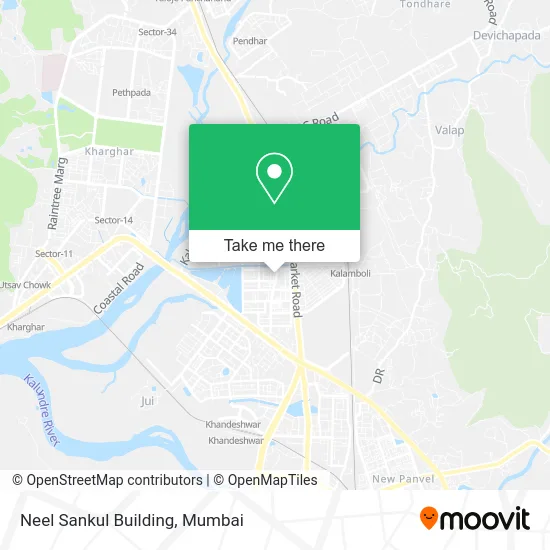
See Neel Sankul Building, Panvel, on the map
Public Transit to Neel Sankul Building in Panvel
Wondering how to get to Neel Sankul Building in Panvel? Moovit helps you find the best way to get to Neel Sankul Building with step-by-step directions from the nearest public transit station.
Moovit provides free maps and live directions to help you navigate through your city. View schedules, routes, timetables, and find out how long does it take to get to Neel Sankul Building in real time.
Looking for the nearest stop or station to Neel Sankul Building? Check out this list of stops closest to your destination: Satyam Heights; Power House (Kalamboli); RTO Office Kalamboli; Navade Road; Mansarovar; Kalamboli.
Bus: 20, 30AC, 56AC, 43AC, 52AC, 53AC, 54AC.Train: HR, MEMU, TPL, HR-AC, HR-AC.
Want to see if there’s another route that gets you there at an earlier time? Moovit helps you find alternative routes or times. Get directions from and directions to Neel Sankul Building easily from the Moovit App or Website.
We make riding to Neel Sankul Building easy, which is why over 1.5 million users, including users in Panvel, trust Moovit as the best app for public transit. You don’t need to download an individual bus app or train app, Moovit is your all-in-one transit app that helps you find the best bus time or train time available.
For information on prices of bus and train, costs and ride fares to Neel Sankul Building, please check the Moovit app.
Use the app to navigate to popular places including to the airport, hospital, stadium, grocery store, mall, coffee shop, school, college, and university.
Neel Sankul Building Address: Panvel 410218 MH street in Panvel
- Bharat Petroleum, Petrol Pump,
- Boi E Gallery,
- Idbi Bank,
- Dena Bank,
- Jivan Jyoti Clinic,
- Dr. Girish Mahajan Dhanvantari Clinic,
- Holy Spirit Church in Kalamboli,
- Mamta Telecom,
- ICICI Bank-Kalamboli,
- Noble Care Hospital,
- Isbm University,
- N K E S Kalamboli School,
- New Visawa Food Court,
- Essay Infotech Computer Institute,
- New Public School in Kalamboli,
- Shri Shri Kali Mata Mandir,
- Masjid-Kalamboli,
- Patanjali Store,
- Vaishali Wine Shop,
- Dhanvantari Hospital in Kalamboli
Places Near Neel Sankul Building (Panvel)
- Malabar Hill, Malabar Hill,
- INFINITI Mall (Infinity Mall, andheri), Versova,
- Shanmukhananda Hall, Sion , Mumbai, Sion Koliwada,
- TCS Olympus, Thane,
- Worli Sea Face,
- Ikea, Worli,
- Rani Baug, Byculla,
- NESCO, Goregaon,
- Mumbai University, Kalina,
- R CITY MALL, Ghatkopar East,
- Dome @ Nsci - Svp Stadium Mumbai, Worli,
- Oberoi Mall, Dindoshi,
- Oberoi Sky City, Borivali East,
- Bombay Exhibition Center, Goregaon,
- Hinduja Hospital, Mahim,
- Gateway Of India,
- Inorbit Mall, Malad West,
- Bhaucha Dhakka,
- J. J. Hospital, Byculla,
- Govardhan Ecovillage, Palghar (St)
How to get to popular places in Mumbai with public transit
Get around Panvel by public transit!
Traveling around Panvel has never been so easy. See step by step directions as you travel to any attraction, street or major public transit station. View bus and train schedules, arrival times, service alerts and detailed routes on a map, so you know exactly how to get to anywhere in Panvel.
When traveling to any destination around Panvel use Moovit's Live Directions with Get Off Notifications to know exactly where and how far to walk, how long to wait for your line, and how many stops are left. Moovit will alert you when it's time to get off — no need to constantly re-check whether yours is the next stop.
Wondering how to use public transit in Panvel or how to pay for public transit in Panvel? Moovit public transit app can help you navigate your way with public transit easily, and at minimum cost. It includes public transit fees, ticket prices, and costs. Looking for a map of Panvel public transit lines? Moovit public transit app shows all public transit maps in Panvel with all Bus, Train, Metro and Ferry routes and stops on an interactive map.
Mumbai has 4 transit type(s), including: Bus, Train, Metro and Ferry, operated by several transit agencies, including MMMOCL (Maha Mumbai Metro Operation Corporation Ltd.), NMM CIDCO (Navi Mumbai Metro Maha Metro), Reliance Mumbai Metro, MMRCL (Mumbai Metro Rail Corporation Ltd), BEST (Brihanmumbai Electricity Supply & Transport), BEST AC Services, A.C.Trains (Air-Conditioning Trains), W.R. (Western Railways), C.R. (Central Railways), C.R.MEMU (Central Railways Shuttle MEMU Trains), H.R. (Harbour Railways), T.R.(Trans Harbour Railways), U.R.(Uran-Ulwe Railways), I.R.(Indian Railways) and TMT (Thane Municipal Transport)