Directions to Neil Coffield (Richmond) with public transportation
The following transit lines have routes that pass near Neil Coffield
 Bus: 14, 5, FLIXBUS N2601, GREYHOUND US0670, 2A.
- Train: NORTHEAST REGIONAL.
How to get to Neil Coffield by bus?
Click on the bus route to see step by step directions with maps, line arrival times and updated time schedules.
From Potomac Mills Mall, Prince William County
196 minFrom Busch Gardens Williamsburg (Employee Parking Lot), James City County
137 minFrom Rose Gaming Resort, Prince William County
221 minFrom Hampton University, Hampton
291 minFrom Lorton, VA - Amtrak Auto Train Station (LOR), Fairfax County
211 minFrom Lorton, VA, Fairfax County
205 minFrom Woodbridge, VA, Prince William County
140 minFrom Amazon Fulfillment Center-Ric3, Richmond
61 minFrom UVA Hospital Medical Center, Charlottesville
304 min
How to get to Neil Coffield by train?
Click on the train route to see step by step directions with maps, line arrival times and updated time schedules.
Bus stops near Neil Coffield in Richmond
Train station near Neil Coffield in Richmond
- Pathrichmond Main Street Amtrak Station, 22 min walk,VIEW
Bus lines to Neil Coffield in Richmond
- 2A, Forest Hill/North Ave,VIEW
- 2B, Jahnke/Forest Hill/North Ave,VIEW
- 2C, Semmes/Midlothian/Belt Blvd,VIEW
- 5, Cary/Main/Whitcomb,VIEW
- 64, 64x Stony Point Express (Ric),VIEW
- 82, 82x Commonwealth 20 (Chf) Downtown (Chf),VIEW
- 87, Bellemeade/Hopkins/Ss Plaza,VIEW
- 14, Hermitage/Azalea,VIEW
- 29, 29x Gaskins Express(Hrc),VIEW
- 95, 95x Richmond-Petersburg Express (Pbg),VIEW
What are the closest stations to Neil Coffield?
The closest stations to Neil Coffield are:
- 9th + Byrd is 148 yards away, 3 min walk.
- 9th + Cary is 175 yards away, 3 min walk.
- 8th + Cary is 192 yards away, 3 min walk.
- Cary + 8th is 205 yards away, 3 min walk.
- Main + 8th is 308 yards away, 4 min walk.
- Pathrichmond Main Street Amtrak Station is 1868 yards away, 22 min walk.
Which bus lines stop near Neil Coffield?
These bus lines stop near Neil Coffield: 14, 5, FLIXBUS N2601, GREYHOUND US0670.
Which train line stops near Neil Coffield?
NORTHEAST REGIONAL (Newport News)
What’s the nearest train station to Neil Coffield in Richmond?
The nearest train station to Neil Coffield in Richmond is Pathrichmond Main Street Amtrak Station. It’s a 22 min walk away.
What’s the nearest bus station to Neil Coffield in Richmond?
The nearest bus stations to Neil Coffield in Richmond are 9th + Byrd, 9th + Cary, 8th + Cary and Cary + 8th. The closest one is a 3 min walk away.
What time is the first train to Neil Coffield in Richmond?
The NORTHEAST REGIONAL is the first train that goes to Neil Coffield in Richmond. It stops nearby at 5:19 AM.
What time is the last train to Neil Coffield in Richmond?
The NORTHEAST REGIONAL is the last train that goes to Neil Coffield in Richmond. It stops nearby at 6:52 PM.
What time is the first bus to Neil Coffield in Richmond?
The 14 is the first bus that goes to Neil Coffield in Richmond. It stops nearby at 5:11 AM.
What time is the last bus to Neil Coffield in Richmond?
The 2C is the last bus that goes to Neil Coffield in Richmond. It stops nearby at 1:28 AM.
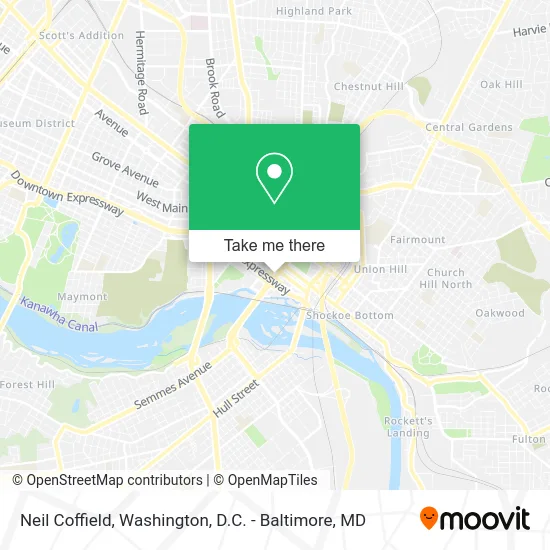
See Neil Coffield, Richmond, on the map
Public Transit to Neil Coffield in Richmond
Wondering how to get to Neil Coffield in Richmond? Moovit helps you find the best way to get to Neil Coffield with step-by-step directions from the nearest public transit station.
Moovit provides free maps and live directions to help you navigate through your city. View schedules, routes, timetables, and find out how long does it take to get to Neil Coffield in real time.
Looking for the nearest stop or station to Neil Coffield? Check out this list of stops closest to your destination: 9th + Byrd; 9th + Cary; 8th + Cary; Cary + 8th; Main + 8th; Pathrichmond Main Street Amtrak Station.
Bus: 14, 5, FLIXBUS N2601, GREYHOUND US0670, 2A, 2B, 2C, 64, 82, 87, 29, 95.Train: NORTHEAST REGIONAL.
Want to see if there’s another route that gets you there at an earlier time? Moovit helps you find alternative routes or times. Get directions from and directions to Neil Coffield easily from the Moovit App or Website.
We make riding to Neil Coffield easy, which is why over 1.5 million users, including users in Richmond, trust Moovit as the best app for public transit. You don’t need to download an individual bus app or train app, Moovit is your all-in-one transit app that helps you find the best bus time or train time available.
For information on prices of bus and train, costs and ride fares to Neil Coffield, please check the Moovit app.
Use the app to navigate to popular places including to the airport, hospital, stadium, grocery store, mall, coffee shop, school, college, and university.
Neil Coffield Address: 800 E Canal St Richmond, VA 23219 street in Richmond
- Annie Gonzalez,
- Matthew Scott,
- Chad Harcum,
- Spplus,
- Pacific Summit Energy,
- Curt Straub,
- Gateway Plaza,
- Reggie Crawford,
- Cca Industries,
- Missy Reynolds,
- Duncan Owen,
- Maria Dickinson,
- Ty Crone,
- Jay Lewis Loan Officer with Townebank Mortgage,
- Pat Collins,
- Townebank,
- CRG Richmond,
- Alec Schleicher,
- Potbelly Sandwich Shop,
- Potbelly
Places Near Neil Coffield (Richmond)
- National Zoo, Washington,
- Washington DC VA Medical Center, Washington,
- Museum Of The Bible, Washington,
- Sibley Memorial Hospital, Washington,
- Capital One Arena, Washington,
- Marriott Marquis Washington, DC, Washington,
- The Anthem, Washington,
- PG Mall, Prince George's County,
- M&T Bank Stadium, Baltimore,
- Basilica of the National Shrine, Washington,
- Georgetown, Washington,
- National Museum of African American History and Culture, Washington,
- National Mall, Washington,
- Amazon Hq2, Arlington County,
- Washington National Cathedral, Washington,
- Pennsylvania Ave NW (3rd st and pennsylvania), Washington,
- Westfield Montgomery Mall, Montgomery County,
- Rock Creek Tennis Center, Washington,
- Camden Yards, Baltimore,
- Warner Theatre, Washington
How to get to popular places in Washington, D.C. - Baltimore, MD with public transit
Get around Richmond by public transit!
Traveling around Richmond has never been so easy. See step by step directions as you travel to any attraction, street or major public transit station. View bus and train schedules, arrival times, service alerts and detailed routes on a map, so you know exactly how to get to anywhere in Richmond.
When traveling to any destination around Richmond use Moovit's Live Directions with Get Off Notifications to know exactly where and how far to walk, how long to wait for your line, and how many stops are left. Moovit will alert you when it's time to get off — no need to constantly re-check whether yours is the next stop.
Wondering how to use public transit in Richmond or how to pay for public transit in Richmond? Moovit public transit app can help you navigate your way with public transit easily, and at minimum cost. It includes public transit fees, ticket prices, and costs. Looking for a map of Richmond public transit lines? Moovit public transit app shows all public transit maps in Richmond with all Bus, Train, Metro, Light Rail and Ferry routes and stops on an interactive map.
Washington, D.C. - Baltimore, MD has 5 transit type(s), including: Bus, Train, Metro, Light Rail and Ferry, operated by several transit agencies, including WMATA, Montgomery County Ride On, Fairfax Connector, TheBus, PRTC, DASH - Alexandria, Arlington Transit (ART), RTA of Central Maryland, MDOT MTA, MDOT MTA Light RailLink, MDOT MTA Commuter Bus, MDOT MTA Local Bus, FXBGO!, Virginia Railway Express (VRE) and MARC