How to get to Nem Medical Center -Decatur by bus?
Click on the bus route to see step by step directions with maps, line arrival times and updated time schedules.
From Carroll Shelby Museum, Enterprise
63 minFrom I-215 & W Flamingo Rd, Spring Valley
65 minFrom Homewood Suites (Homewood Suites By Hilton Las Vegas City Center), Paradise
56 minFrom RTC Sunset Operations and Maintenance Facility, Enterprise
41 minFrom Pink Box Doughnuts On The Strip, Paradise
57 minFrom Red Rock, Las Vegas
44 minFrom Lo-Lo's Chicken & Waffles, Paradise
55 minFrom Excalibur Hotel & Casino, Paradise
55 minFrom Faith Lutheran Middle School & High School, Summerlin South
39 minFrom 1192, Las Vegas
48 min
Bus stops near Nem Medical Center -Decatur in Las Vegas
Bus lines to Nem Medical Center -Decatur in Las Vegas
What are the closest stations to Nem Medical Center -Decatur?
The closest stations to Nem Medical Center -Decatur are:
- Eb Alta After Brush is 431 yards away, 6 min walk.
- Nb Decatur Before Alta is 685 yards away, 8 min walk.
- Eb Charleston After Faircenter is 902 yards away, 11 min walk.
Which bus lines stop near Nem Medical Center -Decatur?
These bus lines stop near Nem Medical Center -Decatur: 103, 206.
What’s the nearest bus station to Nem Medical Center -Decatur in Las Vegas?
The nearest bus station to Nem Medical Center -Decatur in Las Vegas is Eb Alta After Brush. It’s a 6 min walk away.
What time is the first bus to Nem Medical Center -Decatur in Las Vegas?
The 206 is the first bus that goes to Nem Medical Center -Decatur in Las Vegas. It stops nearby at 3:02 AM.
What time is the last bus to Nem Medical Center -Decatur in Las Vegas?
The 206 is the last bus that goes to Nem Medical Center -Decatur in Las Vegas. It stops nearby at 3:46 AM.
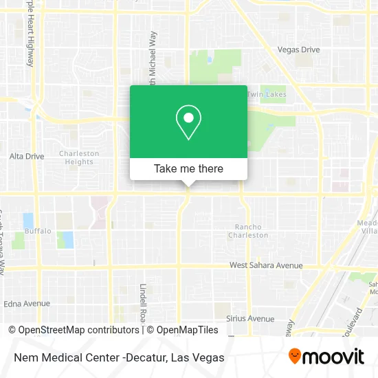
See Nem Medical Center -Decatur, Las Vegas, on the map
Public Transit to Nem Medical Center -Decatur in Las Vegas
Wondering how to get to Nem Medical Center -Decatur in Las Vegas? Moovit helps you find the best way to get to Nem Medical Center -Decatur with step-by-step directions from the nearest public transit station.
Moovit provides free maps and live directions to help you navigate through your city. View schedules, routes, timetables, and find out how long does it take to get to Nem Medical Center -Decatur in real time.
Looking for the nearest stop or station to Nem Medical Center -Decatur? Check out this list of stops closest to your destination: Eb Alta After Brush; Nb Decatur Before Alta; Eb Charleston After Faircenter.
Bus: 103, 206, 207.
Want to see if there’s another route that gets you there at an earlier time? Moovit helps you find alternative routes or times. Get directions from and directions to Nem Medical Center -Decatur easily from the Moovit App or Website.
We make riding to Nem Medical Center -Decatur easy, which is why over 1.7 million users, including users in Las Vegas, trust Moovit as the best app for public transit. You don’t need to download an individual bus app or train app, Moovit is your all-in-one transit app that helps you find the best bus time or train time available.
For information on prices of bus, costs and ride fares to Nem Medical Center -Decatur, please check the Moovit app.
Use the app to navigate to popular places including to the airport, hospital, stadium, grocery store, mall, coffee shop, school, college, and university.
Nem Medical Center -Decatur Address: 939 S Decatur Blvd street in Las Vegas
- SKECHERS Factory Outlet,
- Walmart,
- Walmart Las Vegas - W Charleston Blvd,
- Serru Medical Center,
- Caring Health Center,
- Arizona Charlie's Decatur (Arizona Charlie's Decatur Casino & Hotel),
- Bingo,
- Arizona Charlie's Decatur,
- Blueberry Hill Family Restaurant,
- Walmart Supercenter,
- A-Abana Auto Insurance,
- Charleston Antique Mall,
- Decatur & Oakey,
- S Decatur Blvd / Alta Dr,
- Iglesia Cristiana Jehova Jireh,
- Rainbow Gardens of Las Vegas,
- Oakey Healthcare Center,
- LVFR Station 5 Gym,
- S Decatur Blvd / W Oakey Blvd,
- Amazon Locker-Bier
Places Near Nem Medical Center -Decatur (Las Vegas)
- Meow Wolf - Las Vegas (Meow Wolf's Omega Mart), Las Vegas,
- Arte Museum Las Vegas, Paradise,
- Lee Canyon, Las Vegas,
- The Neon Museum, Las Vegas,
- Gold & Silver Pawn Shop, Las Vegas,
- Trump International Hotel Las Vegas, Paradise,
- Zak Bagans Haunted Museum, Las Vegas,
- Koolsville Tattoos, Las Vegas,
- Walmart Supercenter, Las Vegas,
- The Deuce Bus Stop at Fremont St, Las Vegas,
- Area15, Las Vegas,
- Las Vegas Premium Outlets-North, Enterprise,
- The Palms Casino Resort, Paradise,
- Las Vegas North Premium Outlets, Las Vegas,
- Omega Mart, Las Vegas,
- Las Vegas South Premium Outlets, Enterprise,
- Town Square, Enterprise,
- Walmart, Las Vegas,
- Welcome To Fabulous Las Vegas Sign, Paradise,
- Allegiant Stadium, Paradise
How to get to popular places in Las Vegas with public transit
Get around Las Vegas by public transit!
Traveling around Las Vegas has never been so easy. See step by step directions as you travel to any attraction, street or major public transit station. View bus and train schedules, arrival times, service alerts and detailed routes on a map, so you know exactly how to get to anywhere in Las Vegas.
When traveling to any destination around Las Vegas use Moovit's Live Directions with Get Off Notifications to know exactly where and how far to walk, how long to wait for your line, and how many stops are left. Moovit will alert you when it's time to get off — no need to constantly re-check whether yours is the next stop.
Wondering how to use public transit in Las Vegas or how to pay for public transit in Las Vegas? Moovit public transit app can help you navigate your way with public transit easily, and at minimum cost. It includes public transit fees, ticket prices, and costs. Looking for a map of Las Vegas public transit lines? Moovit public transit app shows all public transit maps in Las Vegas with all Bus and Monorail routes and stops on an interactive map.
Las Vegas has 2 transit type(s), including: Bus and Monorail, operated by several transit agencies, including RTCSNV, City of Las Vegas, Alvand Transportation, Vegas Airporter, Las Vegas Monorail, FlixBus-us and Greyhound-us