Nepperhan Ave @ Axminster St stop - Tuesday schedule
| Line | Direction | Time |
|---|---|---|
| 5 | Yonkers | 6:16 AM |
| 78 | Getty Square | 6:28 AM |
| 5 | Yonkers | 6:38 AM |
| 5 | Yonkers | 7:04 AM |
| 78 | Getty Square | 7:27 AM |
| 5 | Yonkers | 7:31 AM |
| 5 | Yonkers | 7:45 AM |
| 5 | Yonkers | 7:59 AM |
| 78 | Getty Square | 8:02 AM |
| 78 | Getty Square | 8:37 AM |
| 5 | Main St @ Mill St | 8:43 AM |
| 5 | Yonkers | 9:10 AM |
| 78 | Getty Square | 9:12 AM |
| 9 | Westchester Circular | 9:20 AM |
| 78 | Getty Square | 9:47 AM |
| 5 | Main St @ Mill St | 9:53 AM |
| 5 | Yonkers | 10:13 AM |
| 78 | Getty Square | 10:19 AM |
| 9 | Westchester Circular | 10:25 AM |
| 5 | Main St @ Mill St | 10:44 AM |
| 78 | Getty Square | 10:54 AM |
| 5 | Yonkers | 11:15 AM |
| 9 | Westchester Circular | 11:36 AM |
| 5 | Main St @ Mill St | 11:37 AM |
| 78 | Getty Square | 11:44 AM |
Directions to Nepperhan Ave @ Axminster St stop (Yonkers) with public transit
The following transit lines have routes that pass near Nepperhan Ave @ Axminster St
 Bus: 2, 25, 30, 5, 78.
- Train: 1, ADIRONDACK, BERKSHIRE FLYER, EMPIRE SERVICE, ETHAN ALLEN EXPRESS.
How to get to Nepperhan Ave @ Axminster St stop by bus?
Click on the bus route to see step by step directions with maps, line arrival times and updated time schedules.
How to get to Nepperhan Ave @ Axminster St stop by train?
Click on the train route to see step by step directions with maps, line arrival times and updated time schedules.
Bus stops near Nepperhan Ave @ Axminster St stop in Yonkers
- Nepperhan Ave @ Axminster St, 1 min walk,
- Saw Mill River Rd @ Ashburton Ave, 2 min walk,
- Ashburton Ave @ Nepperhan Ave, 2 min walk,
- Nepperhan Ave @ Orchard Pl, 3 min walk,
Train stations near Nepperhan Ave @ Axminster St station in Yonkers
- Yonkers, 25 min walk,
Bus lines to Nepperhan Ave @ Axminster St stop in Yonkers
- 5, Oakland Ave @ Halstead Ave,
- 78, Getty Square,
- 8, Mount Saint Vincent,
- 30, Bronxville,
- 25, 238th Street Subway Station,
- 9, Westchester Circular,
What are the closest stations to Nepperhan Ave @ Axminster St?
The closest stations to Nepperhan Ave @ Axminster St are:
- Nepperhan Ave @ Axminster St stop is 30 yards away, 1 min walk.
- Saw Mill River Rd @ Ashburton Ave stop is 155 yards away, 2 min walk.
- Ashburton Ave @ Nepperhan Ave stop is 156 yards away, 2 min walk.
- Nepperhan Ave @ Orchard Pl stop is 176 yards away, 3 min walk.
- Yonkers station is 2145 yards away, 25 min walk.
Which bus lines stop near Nepperhan Ave @ Axminster St?
These bus lines stop near Nepperhan Ave @ Axminster St: 2, 25, 30, 5, 78, 8.
Which train line stops near Nepperhan Ave @ Axminster St?
1 (To Poughkeepsie)
What’s the nearest train station to Nepperhan Ave @ Axminster St in Yonkers?
The nearest train station to Nepperhan Ave @ Axminster St in Yonkers is Yonkers. It’s a 25 min walk away.
What’s the nearest bus station to Nepperhan Ave @ Axminster St in Yonkers?
The nearest bus station to Nepperhan Ave @ Axminster St in Yonkers is Nepperhan Ave @ Axminster St. It’s a 1 min walk away.
What time is the first train to Nepperhan Ave @ Axminster St in Yonkers?
The 1 is the first train that goes to Nepperhan Ave @ Axminster St in Yonkers. It stops nearby at 5:07 AM.
What time is the last train to Nepperhan Ave @ Axminster St in Yonkers?
The 1 is the last train that goes to Nepperhan Ave @ Axminster St in Yonkers. It stops nearby at 2:30 AM.
What time is the first bus to Nepperhan Ave @ Axminster St in Yonkers?
The 8 is the first bus that goes to Nepperhan Ave @ Axminster St in Yonkers. It stops nearby at 5:32 AM.
What time is the last bus to Nepperhan Ave @ Axminster St in Yonkers?
The 78 is the last bus that goes to Nepperhan Ave @ Axminster St in Yonkers. It stops nearby at 12:51 AM.
Nepperhan Ave @ Axminster St station
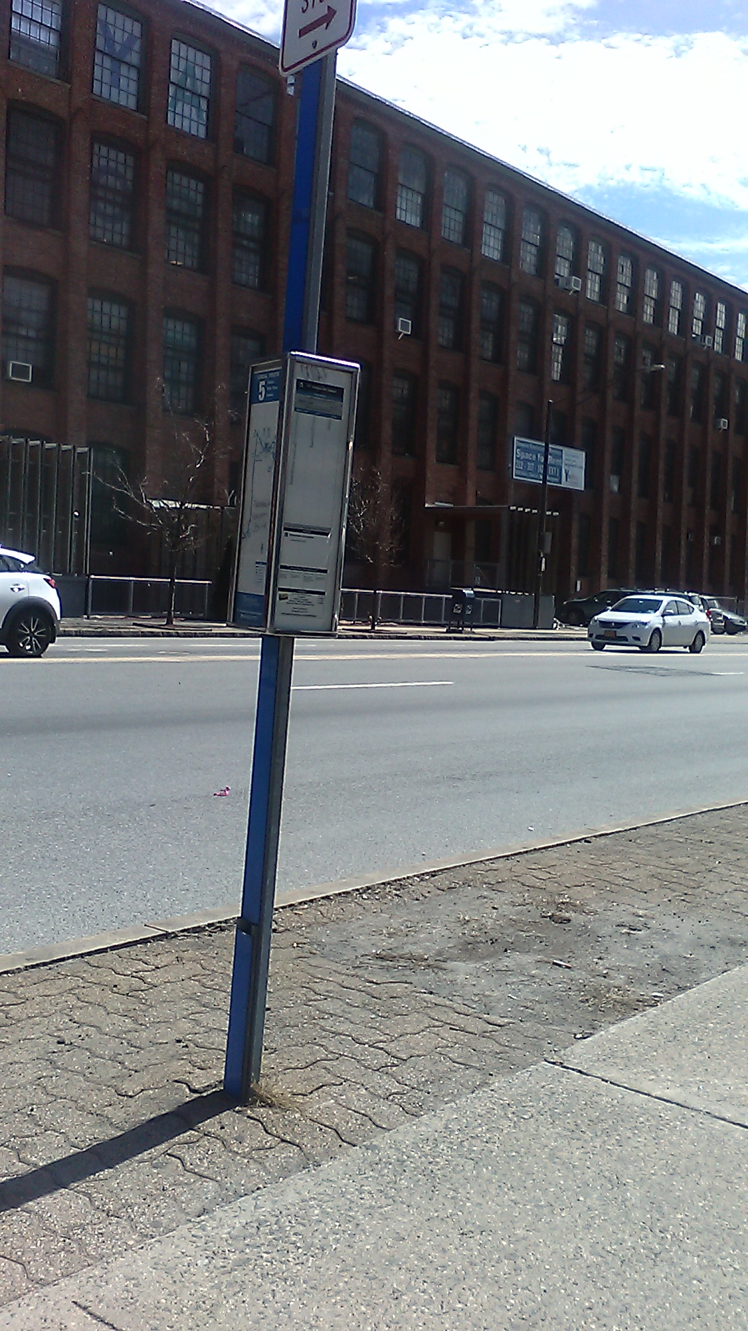 Taken by Anonymous
See Nepperhan Ave @ Axminster St stop, Yonkers, on the map
Public transit to Nepperhan Ave @ Axminster St stop (ID: 770) in Yonkers
Looking for directions to Nepperhan Ave @ Axminster St in Yonkers, United States?
Download the Moovit App to find the current schedule and step-by-step directions for Bus, Train or Subway routes that pass through Nepperhan Ave @ Axminster St.
Looking for the nearest stops closest to Nepperhan Ave @ Axminster St ? Check out this list of closest stops to your destination: Nepperhan Ave @ Axminster St; Saw Mill River Rd @ Ashburton Ave; Ashburton Ave @ Nepperhan Ave; Nepperhan Ave @ Orchard Pl; Yonkers.
Bus: 2, 25, 30, 5, 78, 8, 9.Train: 1, ADIRONDACK, BERKSHIRE FLYER, EMPIRE SERVICE, ETHAN ALLEN EXPRESS, MAPLE LEAF.
We make riding on public transit to Nepperhan Ave @ Axminster St easy, which is why over 1.7 billion users, including users in Yonkers trust Moovit as the best app for public transit.
Use the app to navigate to popular places including to the airport, hospital, stadium, grocery store, mall, coffee shop, school, college, and university.
Nepperhan Ave @ Axminster St stop’s code is 770
The first line to this stop is 5, at 6:16 AM, and the last line is 78 at 12:50 AM.
479 Nepperhan Ave, Yonkers, NY, USA
This stop serves Bee-Line Bus’s lines
- Nepperhan Ave @ Axminster St,
- Saw Mill River Rd @ Ashburton Ave,
- Ashburton Ave @ Nepperhan Ave,
- Nepperhan Ave @ Orchard Pl
Bus stops near Nepperhan Ave @ Axminster St stop
- Yonkers
Train station near Nepperhan Ave @ Axminster St station
- Jamaica Av/144 St,
- Far Hills,
- Dobbs Ferry,
- West Farms Sq-E Tremont Av,
- W 179 St/Broadway,
- Exchange Place,
- Park Row/Spruce St,
- Flushing Av,
- White Plains Rd/E 219 St,
- Secaucus,
- Harrison,
- Glen Rock,
- Far Rockaway,
- Broadway/W 147 St,
- 80 St/Eliot Av,
- Fleetwood,
- Old Bridge Park & Ride (Southbound),
- 5 Av/59 St,
- Prince St,
- Kingston-Throop Avs
Popular public transit stations in Yonkers
Get around Yonkers by public transit!
Traveling around Yonkers has never been so easy. See step by step directions as you travel to any attraction, street or major public transit station. View bus and train schedules, arrival times, service alerts and detailed routes on a map, so you know exactly how to get to anywhere in Yonkers.
When traveling to any destination around Yonkers use Moovit's Live Directions with Get Off Notifications to know exactly where and how far to walk, how long to wait for your line, and how many stops are left. Moovit will alert you when it's time to get off — no need to constantly re-check whether yours is the next stop.
Wondering how to use public transit in Yonkers or how to pay for public transit in Yonkers? Moovit public transit app can help you navigate your way with public transit easily, and at minimum cost. It includes public transit fees, ticket prices, and costs. Looking for a map of Yonkers public transit lines? Moovit public transit app shows all public transit maps in Yonkers with all Bus, Train, Subway, Light Rail, Ferry and Cable Car routes and stops on an interactive map.
New York - New Jersey has 6 transit type(s), including: Bus, Train, Subway, Light Rail, Ferry and Cable Car, operated by several transit agencies, including MTA Subway, Metro-North Railroad, LIRR, PATH, MTA New York City Transit - Express routes, MTA Bus, NJ Transit, NYC Ferry, NICE bus, Bee-Line Bus, NJ Transit Rail, Norwalk Transit District, CTTransit - Waterbury-Meriden, Hartford Line and River Valley Transit