How to get to Netto by bus?
Click on the bus route to see step by step directions with maps, line arrival times and updated time schedules.
From Les Prés – Edgard Pisani, Villeneuve-D'Ascq
71 minFrom Rue de Menin 77, Marquette-Lez-Lille
91 minFrom Grand Frais, Villeneuve-D'Ascq
75 minFrom Le Romarin, La Madeleine
111 minFrom Centre Espoir Villeneuve, Villeneuve-D'Ascq
122 minFrom Rue du Lazaro, Marcq-En-Barœul
90 minFrom Immeuble Quartz Europe, La Madeleine
111 minFrom Rue du Pré Catelan, La Madeleine
115 minFrom Mairie D'Hellemmes-Lille, Lille
128 minFrom Rue Roger Salengro, Lille
122 min
How to get to Netto by train?
Click on the train route to see step by step directions with maps, line arrival times and updated time schedules.
From Rue de Menin 77, Marquette-Lez-Lille
65 minFrom Le Romarin, La Madeleine
53 minFrom Centre Espoir Villeneuve, Villeneuve-D'Ascq
70 minFrom Immeuble Quartz Europe, La Madeleine
52 minFrom Rue du Pré Catelan, La Madeleine
60 minFrom Mairie D'Hellemmes-Lille, Lille
82 minFrom Rue Roger Salengro, Lille
76 min
How to get to Netto by metro?
Click on the metro route to see step by step directions with maps, line arrival times and updated time schedules.
From Les Prés – Edgard Pisani, Villeneuve-D'Ascq
35 minFrom Grand Frais, Villeneuve-D'Ascq
40 minFrom Le Romarin, La Madeleine
53 minFrom Centre Espoir Villeneuve, Villeneuve-D'Ascq
61 minFrom Immeuble Quartz Europe, La Madeleine
53 minFrom Mairie D'Hellemmes-Lille, Lille
52 minFrom Rue Roger Salengro, Lille
54 min
Metro station near Netto in Roubaix
- Carliers, 7 min walk,VIEW
Train stations near Netto in Roubaix
- Tourcoing, 40 min walk,VIEW
What are the closest stations to Netto?
The closest stations to Netto are:
- Carliers is 537 meters away, 7 min walk.
- Tourcoing is 3141 meters away, 40 min walk.
Which bus lines stop near Netto?
These bus lines stop near Netto: 78, 87.
Which train lines stop near Netto?
These train lines stop near Netto: K80, P80.
Which metro line stops near Netto?
M2 (Tourcoing C.H. Dron)
What’s the nearest metro station to Netto in Roubaix?
The nearest metro station to Netto in Roubaix is Carliers. It’s a 7 min walk away.
What time is the first metro to Netto in Roubaix?
The M2 is the first metro that goes to Netto in Roubaix. It stops nearby at 5:08 AM.
What time is the last metro to Netto in Roubaix?
The M2 is the last metro that goes to Netto in Roubaix. It stops nearby at 12:56 AM.
What time is the first train to Netto in Roubaix?
The 261B is the first train that goes to Netto in Roubaix. It stops nearby at 5:20 AM.
What time is the last train to Netto in Roubaix?
The 261B is the last train that goes to Netto in Roubaix. It stops nearby at 11:42 PM.
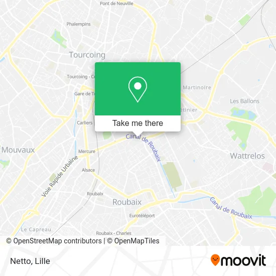
See Netto, Roubaix, on the map
Public Transit to Netto in Roubaix
Wondering how to get to Netto in Roubaix? Moovit helps you find the best way to get to Netto with step-by-step directions from the nearest public transit station.
Moovit provides free maps and live directions to help you navigate through your city. View schedules, routes, timetables, and find out how long does it take to get to Netto in real time.
Looking for the nearest stop or station to Netto? Check out this list of stops closest to your destination: Carliers; Tourcoing.
Bus: 78, 87.Train: K80, P80, 533A, 533B, 261B.Metro: M2.
Want to see if there’s another route that gets you there at an earlier time? Moovit helps you find alternative routes or times. Get directions from and directions to Netto easily from the Moovit App or Website.
We make riding to Netto easy, which is why over 1.5 million users, including users in Roubaix, trust Moovit as the best app for public transit. You don’t need to download an individual bus app or train app, Moovit is your all-in-one transit app that helps you find the best bus time or train time available.
For information on prices of metro, bus, train and light rail, costs and ride fares to Netto, please check the Moovit app.
Use the app to navigate to popular places including to the airport, hospital, stadium, grocery store, mall, coffee shop, school, college, and university.
Netto Address: 26 Quai de Gand street in Roubaix
- Br-Digital,
- Marché Navigi Fih,
- Rue Frédéric Chopin,
- Frit'n Grill,
- Bubu&Co,
- Ligue Protectrice Animaux L.P.A,
- Le Canal de Roubaix,
- Rue Gabriel Fauré 66,
- Boucherie Dahmani Ahmed,
- Pharmacie Zannelli,
- Kipstadium,
- Centre Social Basse Masure,
- Biserica din Roubaix Franta Emanuel,
- Oxyfish,
- Rue de Flandre 135,
- Cité Vandamme,
- Rouge-Glamour,
- Rue de l'Union 70,
- Rue Turgot,
- Batamat Location
Places Near Netto (Roubaix)
- Hôpital Claude Huriez, Lille,
- Ikea, Lille,
- Centre Commercial V2, Villeneuve-D'Ascq,
- Consulat General D'Algerie, Lille,
- Marché De Wazemmes, Lille,
- Rue de la Porte d'Ypres 1, Lille,
- Clinique du Bois, Lille,
- Saint-André-Lez-Lille, Saint-André-Lez-Lille,
- Hôpital Salengro, Lille,
- Zénith Arena, Lille,
- Auchan Englos, Englos,
- Ffffff, Lezennes,
- L'Usine, Roubaix,
- Théâtre Sébastopol, Lille,
- Zoo De Lille, Lille,
- Hôpital Saint-Vincent De Paul, Lille,
- Université Catholique, Lille,
- Champ De Mars, Lille,
- Euratechnologies, Lille,
- Kinepolis Lomme, Lille
How to get to popular places in Lille with public transit
Get around Roubaix by public transit!
Traveling around Roubaix has never been so easy. See step by step directions as you travel to any attraction, street or major public transit station. View bus and train schedules, arrival times, service alerts and detailed routes on a map, so you know exactly how to get to anywhere in Roubaix.
When traveling to any destination around Roubaix use Moovit's Live Directions with Get Off Notifications to know exactly where and how far to walk, how long to wait for your line, and how many stops are left. Moovit will alert you when it's time to get off — no need to constantly re-check whether yours is the next stop.
Wondering how to use public transit in Roubaix or how to pay for public transit in Roubaix? Moovit public transit app can help you navigate your way with public transit easily, and at minimum cost. It includes public transit fees, ticket prices, and costs. Looking for a map of Roubaix public transit lines? Moovit public transit app shows all public transit maps in Roubaix with all Bus, Train, Metro and Light Rail routes and stops on an interactive map.
Lille has 4 transit type(s), including: Bus, Train, Metro and Light Rail, operated by several transit agencies, including TRANSPOLE and SNCF VOYAGEURS