How to get to Network Auto Broker by bus?
Click on the bus route to see step by step directions with maps, line arrival times and updated time schedules.
From Magic City Casino, Miami
38 minFrom Jackson Memorial Hospital, Miami
65 minFrom 8th Street Latinas, Miami
64 minFrom METRORail-Miami International Airport, Miami
36 minFrom Uhealth - University of Miami, Miami
64 minFrom Ermita de la Caridad, Miami
57 minFrom SW 7th St, Miami
60 minFrom UM Sylvester Cancer Center, Miami
64 minFrom Turnpike Exit @ Doral Blvd. (NW 41 Street), North Westside
74 minFrom Allapattah, Miami
64 min
Bus stops near Network Auto Broker in Miami
Bus lines to Network Auto Broker in Miami
What are the closest stations to Network Auto Broker?
The closest stations to Network Auto Broker are:
- Sw 67 Av & Sw 23 St is 98 yards away, 2 min walk.
- Sw 24 St @ Sw 67 Av is 148 yards away, 2 min walk.
Which bus line stops near Network Auto Broker?
24 (24 - Fiu South Terminal)
What’s the nearest bus station to Network Auto Broker in Miami?
The nearest bus stations to Network Auto Broker in Miami are Sw 67 Av & Sw 23 St and Sw 24 St @ Sw 67 Av. The closest one is a 2 min walk away.
What time is the first bus to Network Auto Broker in Miami?
The 24 is the first bus that goes to Network Auto Broker in Miami. It stops nearby at 5:04 AM.
What time is the last bus to Network Auto Broker in Miami?
The 24 is the last bus that goes to Network Auto Broker in Miami. It stops nearby at 12:36 AM.
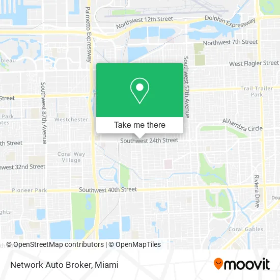
See Network Auto Broker, Miami, on the map
Public Transit to Network Auto Broker in Miami
Wondering how to get to Network Auto Broker in Miami? Moovit helps you find the best way to get to Network Auto Broker with step-by-step directions from the nearest public transit station.
Moovit provides free maps and live directions to help you navigate through your city. View schedules, routes, timetables, and find out how long does it take to get to Network Auto Broker in real time.
Looking for the nearest stop or station to Network Auto Broker? Check out this list of stops closest to your destination: Sw 67 Av & Sw 23 St; Sw 24 St @ Sw 67 Av.
Bus: 24, 73.
Want to see if there’s another route that gets you there at an earlier time? Moovit helps you find alternative routes or times. Get directions from and directions to Network Auto Broker easily from the Moovit App or Website.
We make riding to Network Auto Broker easy, which is why over 1.5 million users, including users in Miami, trust Moovit as the best app for public transit. You don’t need to download an individual bus app or train app, Moovit is your all-in-one transit app that helps you find the best bus time or train time available.
For information on prices of bus and train, costs and ride fares to Network Auto Broker, please check the Moovit app.
Use the app to navigate to popular places including to the airport, hospital, stadium, grocery store, mall, coffee shop, school, college, and university.
Network Auto Broker Address: 2370 Ludlam Rd Miami, FL 33155 street in Miami
- Asher Auto Garage,
- Doggi Style,
- Zenzy Skincare Spa,
- smart Growth Realty,
- Artisan Spot,
- Joyful Spa,
- Cycling101shop,
- Iglesia One Family Church West Miami,
- ATM,
- UPS Access Point Location,
- Southwest 67th Avenue & Southwest 24th Street,
- Dust Guru,
- Iglesia Real Miami,
- 5 Star Pest Services,
- Avelino J Gonzalez,
- Law Office of Miguel San Pedro,
- Hoyos Mejia Sandra Pa,
- Waterton,
- Diaz,
- Many Happy Hearts
Places Near Network Auto Broker (Miami)
- Marlins Park, Miami,
- Sawgrass mall ( FL ), Miami Beach,
- Zoo Miami, Miami,
- Aventura Mall, Miami,
- Brickell City Centre, Miami,
- Bayside Marketplace, Miami,
- Miami VA Hospital, Miami,
- Miami-Dade County Courthouse, Miami,
- Hard Rock Stadium, Miami Gardens,
- Little Havana, Miami,
- Miami Freedom Park, Miami,
- Port of Miami Cruise Terminal, Miami,
- Keiser University Flagship Campus, West Palm Beach,
- Miami Design District, Miami,
- Wynwood, Miami,
- Sawgrass Mall, Miami,
- Aventura Mall, Miami Beach,
- Dolphin Mall, Miami,
- Richard E. Gerstein Justice Building, Miami,
- Dolphin Mall Bus, Miami
How to get to popular places in Miami with public transit
Get around Miami by public transit!
Traveling around Miami has never been so easy. See step by step directions as you travel to any attraction, street or major public transit station. View bus and train schedules, arrival times, service alerts and detailed routes on a map, so you know exactly how to get to anywhere in Miami.
When traveling to any destination around Miami use Moovit's Live Directions with Get Off Notifications to know exactly where and how far to walk, how long to wait for your line, and how many stops are left. Moovit will alert you when it's time to get off — no need to constantly re-check whether yours is the next stop.
Wondering how to use public transit in Miami or how to pay for public transit in Miami? Moovit public transit app can help you navigate your way with public transit easily, and at minimum cost. It includes public transit fees, ticket prices, and costs. Looking for a map of Miami public transit lines? Moovit public transit app shows all public transit maps in Miami with all Bus, Train, Light Rail and Ferry routes and stops on an interactive map.
Miami has 4 transit type(s), including: Bus, Train, Light Rail and Ferry, operated by several transit agencies, including Broward County Transit, Miami-Dade Transit, Metrorail, Palm Tran, Tri-Rail, Brightline, MARTY, City of Homestead Trolley, Key West Transit, Treasure Coast Connector, GoLine IRT, Amtrak, Greyhound-us, FlixBus-us and Aventura Express Shuttle Bus