How to get to New Mexico Wic Program by bus?
Click on the bus route to see step by step directions with maps, line arrival times and updated time schedules.
Bus stops near New Mexico Wic Program in Santa Fe
Bus lines to New Mexico Wic Program in Santa Fe
What are the closest stations to New Mexico Wic Program?
The closest stations to New Mexico Wic Program are:
- Galisteo @ Cordova Ob is 451 yards away, 6 min walk.
- St. Francis @ Cerrillos Ib is 545 yards away, 7 min walk.
- St. Francis @ Columbia Ib is 827 yards away, 10 min walk.
Which bus lines stop near New Mexico Wic Program?
These bus lines stop near New Mexico Wic Program: 2, 4.
What’s the nearest bus station to New Mexico Wic Program in Santa Fe?
The nearest bus station to New Mexico Wic Program in Santa Fe is Galisteo @ Cordova Ob. It’s a 6 min walk away.
What time is the first bus to New Mexico Wic Program in Santa Fe?
The 2 is the first bus that goes to New Mexico Wic Program in Santa Fe. It stops nearby at 5:37 AM.
What time is the last bus to New Mexico Wic Program in Santa Fe?
The 2 is the last bus that goes to New Mexico Wic Program in Santa Fe. It stops nearby at 10:07 PM.
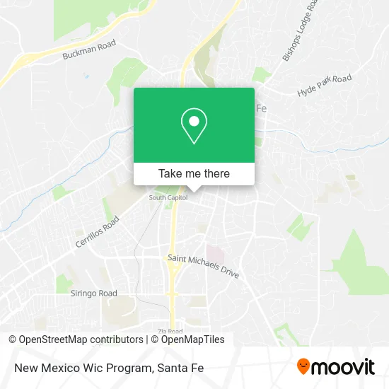
See New Mexico Wic Program, Santa Fe, on the map
Public Transit to New Mexico Wic Program in Santa Fe
Wondering how to get to New Mexico Wic Program in Santa Fe? Moovit helps you find the best way to get to New Mexico Wic Program with step-by-step directions from the nearest public transit station.
Moovit provides free maps and live directions to help you navigate through your city. View schedules, routes, timetables, and find out how long does it take to get to New Mexico Wic Program in real time.
Looking for the nearest stop or station to New Mexico Wic Program? Check out this list of stops closest to your destination: Galisteo @ Cordova Ob; St. Francis @ Cerrillos Ib; St. Francis @ Columbia Ib.
Bus: 2, 4, 6.
Want to see if there’s another route that gets you there at an earlier time? Moovit helps you find alternative routes or times. Get directions from and directions to New Mexico Wic Program easily from the Moovit App or Website.
We make riding to New Mexico Wic Program easy, which is why over 1.5 million users, including users in Santa Fe, trust Moovit as the best app for public transit. You don’t need to download an individual bus app or train app, Moovit is your all-in-one transit app that helps you find the best bus time or train time available.
For information on prices of bus, costs and ride fares to New Mexico Wic Program, please check the Moovit app.
Use the app to navigate to popular places including to the airport, hospital, stadium, grocery store, mall, coffee shop, school, college, and university.
New Mexico Wic Program Address: 605 Letrado St Santa Fe, NM 87505 street in Santa Fe
- M & E Engineering (Mechanical and Electrical Engineering),
- Victoria Ferrara Attorney,
- Natural Nails,
- Beautiful You Contouring,
- Santa Fe Music and Piano,
- Sleep & Dream Luxury Mattress Store,
- Charles Pianos,
- Joint Chiropractic,
- Bike N Sport,
- Santa Fe PRFSNL BSNS WMN,
- Elephant Journal Rebelle Society,
- Bread for the Journey,
- Germaine Gomez Realtor,
- Diva Beauty Bar,
- Ortega National Parks,
- Carbon Economy Series,
- Center for Dynamic Practice,
- Salon 23,
- Prism Arts & Other Fine Things,
- Garnand Investments
Places Near New Mexico Wic Program (Santa Fe)
- Presbyterian Santa Fe Medical Center, Santa Fe,
- Zocalo, Santa Fe,
- International Folk Art Market, Santa Fe,
- El Rey Court, Santa Fe,
- De Vargas Mall, Santa Fe,
- Cerrillos Rd, Santa Fe,
- La Cienega, La Cienega,
- Ten Thousand Waves, Santa Fe,
- Museum Hill Santa Fe, Santa Fe,
- Buffalo Thunder Resort & Casino, Santa Fe,
- Greyhound Bus Lines, Santa Fe,
- Christus St. Vincent Regional Medical Center, Santa Fe,
- Los Juanes, Santa Fe,
- Cathedral Basilica of St Francis of Assisi, Santa Fe,
- Glory Hole Glassworks, Santa Fe,
- Georgia O'Keeffe Museum, Santa Fe,
- Meow Wolf, Santa Fe,
- Indian Market, Santa Fe,
- Calle La Paz, Santa Fe,
- Agua Fria, Agua Fria
How to get to popular places in Santa Fe with public transit
Get around Santa Fe by public transit!
Traveling around Santa Fe has never been so easy. See step by step directions as you travel to any attraction, street or major public transit station. View bus and train schedules, arrival times, service alerts and detailed routes on a map, so you know exactly how to get to anywhere in Santa Fe.
When traveling to any destination around Santa Fe use Moovit's Live Directions with Get Off Notifications to know exactly where and how far to walk, how long to wait for your line, and how many stops are left. Moovit will alert you when it's time to get off — no need to constantly re-check whether yours is the next stop.
Wondering how to use public transit in Santa Fe or how to pay for public transit in Santa Fe? Moovit public transit app can help you navigate your way with public transit easily, and at minimum cost. It includes public transit fees, ticket prices, and costs. Looking for a map of Santa Fe public transit lines? Moovit public transit app shows all public transit maps in Santa Fe with all bus routes and stops on an interactive map.
Santa Fe has 1 transit type(s), including: bus, operated by several transit agencies, including Santa Fe Trails