How to get to New River Engraving by bus?
Click on the bus route to see step by step directions with maps, line arrival times and updated time schedules.
Bus stops near New River Engraving in Washington, D.C. - Baltimore, MD
Bus lines to New River Engraving in Washington, D.C. - Baltimore, MD
What are the closest stations to New River Engraving?
The closest stations to New River Engraving are:
- Cambria/Church Nbnd is 221 yards away, 3 min walk.
- North Franklin/Central Nbnd is 294 yards away, 4 min walk.
Which bus lines stop near New River Engraving?
These bus lines stop near New River Engraving: GRN, SWB.
What’s the nearest bus station to New River Engraving in Washington, D.C. - Baltimore, MD?
The nearest bus station to New River Engraving in Washington, D.C. - Baltimore, MD is Cambria/Church Nbnd. It’s a 3 min walk away.
What time is the first bus to New River Engraving in Washington, D.C. - Baltimore, MD?
The BLU is the first bus that goes to New River Engraving in Washington, D.C. - Baltimore, MD. It stops nearby at 7:10 AM.
What time is the last bus to New River Engraving in Washington, D.C. - Baltimore, MD?
The GRN is the last bus that goes to New River Engraving in Washington, D.C. - Baltimore, MD. It stops nearby at 6:20 PM.
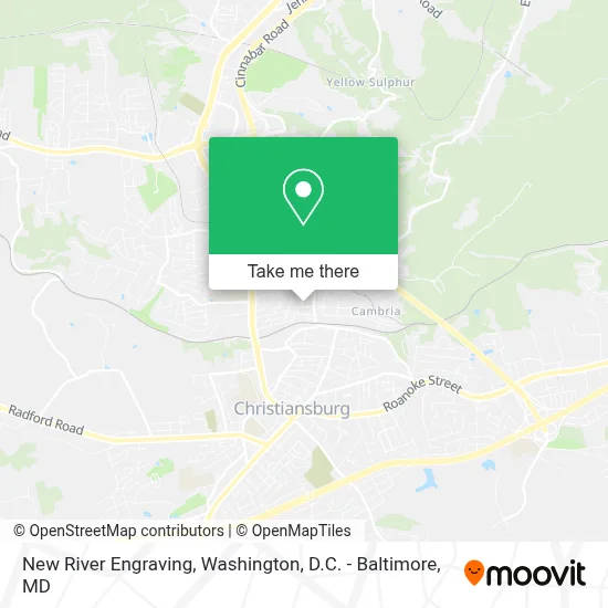
See New River Engraving, Washington, D.C. - Baltimore, MD, on the map
Public Transit to New River Engraving in Washington, D.C. - Baltimore, MD
Wondering how to get to New River Engraving in Washington, D.C. - Baltimore, MD? Moovit helps you find the best way to get to New River Engraving with step-by-step directions from the nearest public transit station.
Moovit provides free maps and live directions to help you navigate through your city. View schedules, routes, timetables, and find out how long does it take to get to New River Engraving in real time.
Looking for the nearest stop or station to New River Engraving? Check out this list of stops closest to your destination: Cambria/Church Nbnd; North Franklin/Central Nbnd.
Bus: GRN, SWB, BLU.
Want to see if there’s another route that gets you there at an earlier time? Moovit helps you find alternative routes or times. Get directions from and directions to New River Engraving easily from the Moovit App or Website.
We make riding to New River Engraving easy, which is why over 1.7 million users, including users in Washington, D.C. - Baltimore, MD, trust Moovit as the best app for public transit. You don’t need to download an individual bus app or train app, Moovit is your all-in-one transit app that helps you find the best bus time or train time available.
For information on prices of bus and train, costs and ride fares to New River Engraving, please check the Moovit app.
Use the app to navigate to popular places including to the airport, hospital, stadium, grocery store, mall, coffee shop, school, college, and university.
New River Engraving Address: 510 Church St street in Washington, D.C. - Baltimore, MD
- Weller Baker School,
- Tienda Mexicana la Nayarita,
- Amelia's,
- General Conference of Seventh-Day Adventists,
- Pelton,
- Saint Johns Methodist Church,
- Cambria Historic District,
- Christiansburg Station,
- Suburban Hills,
- Brumfield Acres,
- Dr Kevin Griffin MD,
- Newcomb Heights,
- Cambria Pentecostal Holiness Church,
- NRV Research Institute,
- Cambria Substation,
- Friends School,
- Johnson Heights,
- Creative Looks Salon,
- Northgate Village Shopping,
- Oak Tree Park
Places Near New River Engraving (Washington, D.C. - Baltimore, MD)
- National Zoo, Washington,
- National Museum of African American History and Culture, Washington,
- The Anthem, Washington,
- Capital One Arena, Washington,
- National Theatre, Washington,
- Warner Theatre, Washington,
- Washington DC VA Medical Center, Washington,
- Museum Of The Bible, Washington,
- Pennsylvania Ave NW (3rd st and pennsylvania), Washington,
- Marriott Marquis Washington, DC, Washington,
- Camden Yards, Baltimore,
- Georgetown, Washington,
- Washington National Cathedral, Washington,
- PG Mall, Prince George's County,
- Sibley Memorial Hospital, Washington,
- Amazon Hq2, Arlington County,
- Rock Creek Tennis Center, Washington,
- Basilica of the National Shrine, Washington,
- M&T Bank Stadium, Baltimore,
- Westfield Montgomery Mall, Montgomery County
How to get to popular places in Washington, D.C. - Baltimore, MD with public transit
Get around Washington, D.C. - Baltimore, MD by public transit!
Traveling around Washington, D.C. - Baltimore, MD has never been so easy. See step by step directions as you travel to any attraction, street or major public transit station. View bus and train schedules, arrival times, service alerts and detailed routes on a map, so you know exactly how to get to anywhere in Washington, D.C. - Baltimore, MD.
When traveling to any destination around Washington, D.C. - Baltimore, MD use Moovit's Live Directions with Get Off Notifications to know exactly where and how far to walk, how long to wait for your line, and how many stops are left. Moovit will alert you when it's time to get off — no need to constantly re-check whether yours is the next stop.
Wondering how to use public transit in Washington, D.C. - Baltimore, MD or how to pay for public transit in Washington, D.C. - Baltimore, MD? Moovit public transit app can help you navigate your way with public transit easily, and at minimum cost. It includes public transit fees, ticket prices, and costs. Looking for a map of Washington, D.C. - Baltimore, MD public transit lines? Moovit public transit app shows all public transit maps in Washington, D.C. - Baltimore, MD with all Bus, Train, Metro, Light Rail and Ferry routes and stops on an interactive map.
Washington, D.C. - Baltimore, MD has 5 transit type(s), including: Bus, Train, Metro, Light Rail and Ferry, operated by several transit agencies, including WMATA, Montgomery County Ride On, Fairfax Connector, TheBus, PRTC, DASH - Alexandria, Arlington Transit (ART), RTA of Central Maryland, MDOT MTA, MDOT MTA Light RailLink, MDOT MTA Commuter Bus, MDOT MTA Local Bus, FXBGO!, Virginia Railway Express (VRE) and MARC